East Humboldt Highline
At a glance
East Humboldt Highline is a 10-mile out-and-back hike in Nevada's East Humboldts Wilderness, on the Mountain City-Ruby Mountains-Jarbidge Ranger District of Humboldt-Toiyabe National Forest. The route starts at a low point of about 7,890 feet and rises to a high point of about 9,432 feet, with a total elevation gain of about 2,061 feet. It is a hard hike, and horses are allowed on a natural surface trail. The trail is open year-round, and the Forest Service manages the land. Smith Lake Trail and Smith Lake both lie about 0.6 miles away, with Angel Lake Spring at about 0.7 miles. Angel Lake Campground is about 0.8 miles off.
- round trip
- 10.0 mi
- climb
- 2,061 ft
- high point
- 9,432 ft
- route
- Out and back
- time
- About 4.5 hours
Where it is: East Humboldts Wilderness · Mountain City-Ruby Mountains-Jarbidge Ranger District
Near: Wells
Been here? Tell people how it was.
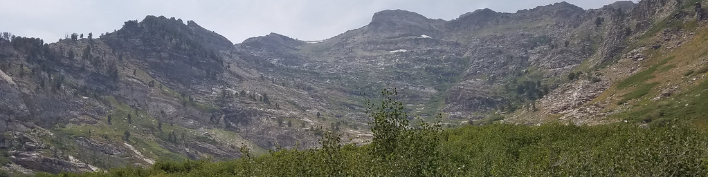 Smith Lake TrailHikingPhoto: reverendlukewarm, CC BY-SA 2.0 (via Flickr)0.6 mi
- Smith LakeHikingPhoto: reverendlukewarm, CC BY-SA 2.0 (via Flickr)0.6 mi
- Angel Lake SpringHikingPhoto: reverendlukewarm, CC BY-SA 2.0 (via Flickr)0.7 mi
- Angel LakeLake fishing0.8 mi
 Angel Lake CampgroundCampingPhoto: Matt Lavin — CC BY-SA 2.0 (via Flickr)0.8 mi
- Angel Creek CampgroundCamping1.7 mi
- Ruby Mountains Ranger District OfficeLake fishing7.5 mi
- Starr CreekCanoeing10 mi
- Smith Lake TrailHikingPhoto: reverendlukewarm, CC BY-SA 2.0 (via Flickr)Next door
- Trout CreekHiking~3 min drive
- Winchell LakeHiking~5 min drive
- Smith LakeHikingPhoto: reverendlukewarm, CC BY-SA 2.0 (via Flickr)~1 min drive
- Greys CreekHiking~6 min drive
- Secret-StarrHiking~6 min drive
- Angel Lake SpringHikingPhoto: reverendlukewarm, CC BY-SA 2.0 (via Flickr)~1 min drive
- Ackler CreekHiking~9 min drive
- North Fork HerderHiking~6 min drive
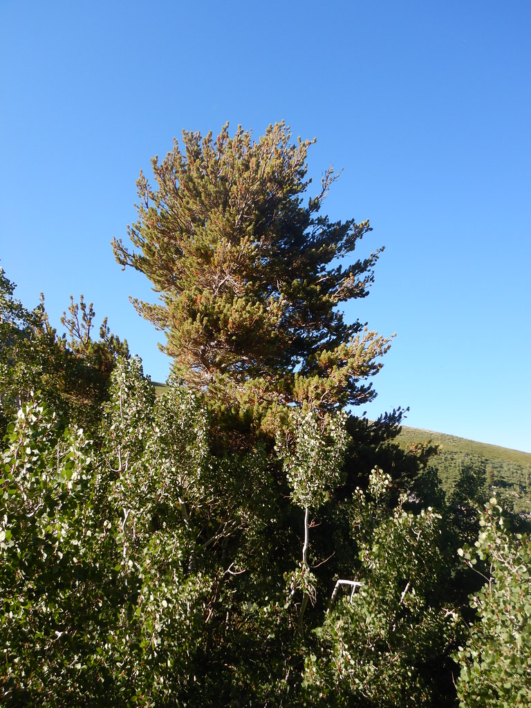 Angel Lake Spring BoxHikingPhoto: Matt Lavin, CC BY-SA 2.0 (via Flickr)~2 min drive
Also worth it near here
- Angel Lake CampgroundCampingPhoto: Matt Lavin — CC BY-SA 2.0 (via Flickr)~1 min drive
- Greys LakeLake fishing~3 min drive
- Hole in the MountainNatural arch~11 min drive
 Humboldt PeakSummitPhoto: G. Thomas at English Wikipedia, Public domain (via Wikimedia Commons)~16 min drive
- Starr CreekCanoeing~17 min drive
Conditions and forecast
Caution todayAgency alerts are in effect for this areaUSFS · checked 3 min agoDaily highs and lows, wind and the chance of precipitation at Start for the next 7 days, from the Open-Meteo model.
Ask about this place
Questions about East Humboldt Highline: conditions, access, timing. Answers say when something isn't known.
