Angel Lake Spring Box
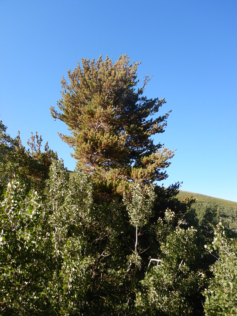 Photo: Matt Lavin, CC BY-SA 2.0 (via Flickr)
- 0.1 mi
- round trip
- 23 ft
- climb
- 8,431 ft
- high point
- Out and back
- route
Is Angel Lake Spring Box open right now?
Closure in the area
There's a closure order in Humboldt-Toiyabe National Forest. It doesn't name Angel Lake Spring Box, so check the source for the area it covers.
Elephant Fire Closure
Agency closure covering Humboldt-Toiyabe National Forest · Order 04-17-26-01-04 · USFS · Humboldt-Toiyabe National Forest
Road Closure for Construction Work (Mountain City-Ruby Mountains-Jarbidge Ranger Districts)
Agency alert covering Mountain City-Ruby Mountains-Jarbidge Ranger District · Order 04-17-26-06-04 · USFS · Mountain City-Ruby Mountains-Jarbidge Ranger District
Area, Road, and Trail Closures (Spring Mountains National Recreation Area)
Agency alert covering Humboldt-Toiyabe National Forest · Order 04-17-25-04 · USFS · Humboldt-Toiyabe National Forest
Year-Round Fire Restrictions (Spring Mountains National Recreation Area)
Agency alert covering Humboldt-Toiyabe National Forest · Order 04-17-24-01 · USFS · Humboldt-Toiyabe National Forest
Vehicle Snow Chain Requirements during Inclement Weather (Spring Mountains National Recreation Area)
Agency alert covering Humboldt-Toiyabe National Forest · Order 04-17-23-01 · USFS · Humboldt-Toiyabe National Forest
As of · Source: USFS · Humboldt-Toiyabe National Forest. Agencies don't list every closure — check before you go.
Angel Lake Spring Box is a short out-and-back trail in Nevada managed by the Forest Service. The trail is 0.08 miles and gains 23 feet of elevation.
Keep exploring — more trails worth the drive
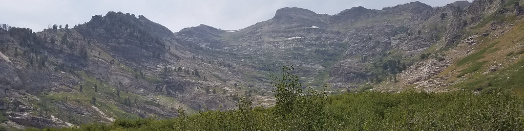 Photo: reverendlukewarm, CC BY-SA 2.0 (via Flickr)
Angel Lake Spring
Next door
0.59-mile out-and-back trail to Angel Lake Spring in Nevada.
HIKE
East Humboldt Highline
~2 min drive
10-mile out-and-back trail in Nevada with 2,061 ft elevation gain.
HIKE
Secret-Starr
~6 min drive
A moderate 3.94-mile out-and-back trail in Nevada offering a balanced hiking challenge.
Photo: reverendlukewarm, CC BY-SA 2.0 (via Flickr)Smith Lake
Next door
1.40-mile out-and-back trail in Nevada with 610 ft gain.
HIKE
North Fork Herder
~6 min drive
3.14-mile out-and-back trail in Nevada with 1,960 ft elevation gain.
HIKE
Greys Creek
~6 min drive
Greys Creek is a 1.00-mile out-and-back trail in Nevada with 2,244 feet of elevation gain.
Photo: reverendlukewarm, CC BY-SA 2.0 (via Flickr)Smith Lake Trail
Next door
0.68-mile out-and-back trail in Nevada with 320 ft of elevation gain.
HIKE
Secret-Starr
~6 min drive
47.93-mile out-and-back trail in Nevada with 880 ft elevation gain.
HIKE
Alles Creek
~8 min drive
Alles Creek is a 3.73-mile out-and-back trail in Nevada with 795 ft of elevation gain.
HIKE
GREYS CREEK
~4 min drive
1.4-mile out-and-back trail in Nevada with 736 ft of elevation gain.


