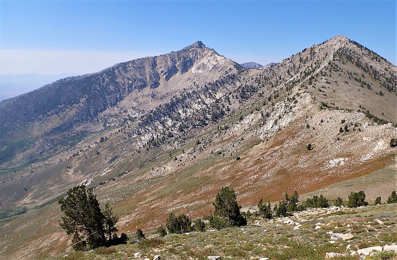
Humboldt Peak
 Photo: G. Thomas at English Wikipedia, Public domain (via Wikimedia Commons)
- 11,014 ft
- summit
- Forest Service
- managed by
Is Humboldt Peak open right now?
Closure in the area
There's a closure order in Humboldt-Toiyabe National Forest. It doesn't name Humboldt Peak, so check the source for the area it covers.
Elephant Fire Closure
Agency closure covering Humboldt-Toiyabe National Forest · Order 04-17-26-01-04 · USFS · Humboldt-Toiyabe National Forest
Road Closure for Construction Work (Mountain City-Ruby Mountains-Jarbidge Ranger District)
Agency alert covering Mountain City-Ruby Mountains-Jarbidge Ranger District · Order 04-17-26-06-04 · USFS · Mountain City-Ruby Mountains-Jarbidge Ranger District
Area, Road, and Trail Closures (Spring Mountains National Recreation Area)
Agency alert covering Humboldt-Toiyabe National Forest · Order 04-17-25-04 · USFS · Humboldt-Toiyabe National Forest
Year-Round Fire Restrictions (Spring Mountains National Recreation Area)
Agency alert covering Humboldt-Toiyabe National Forest · Order 04-17-24-01 · USFS · Humboldt-Toiyabe National Forest
Vehicle Snow Chain Requirements during Inclement Weather (Spring Mountains National Recreation Area)
Agency alert covering Humboldt-Toiyabe National Forest · Order 04-17-23-01 · USFS · Humboldt-Toiyabe National Forest
As of · Source: USFS · Humboldt-Toiyabe National Forest. Agencies don't list every closure — check before you go.
Humboldt Peak is a summit in Elko County, Nevada, within the East Humboldts Wilderness on the Humboldt-Toiyabe National Forest. The Forest Service manages the land through the Mountain City-Ruby Mountains-Jarbidge Ranger District, and the nearest town is Wells, about 17 miles away. The East Humboldt Highline Trail (#026) passes about 1.4 miles away, and the Boulder Lake hike is close by as well. For an overnight base, Angel Lake Campground sits beside Angel Lake, roughly 8.8 miles off.
Conditions and forecast
Daily highs and lows, wind and the chance of precipitation at the summit for the next 7 days, from the Open-Meteo model.
- Summit elevation
- 11,014 ft
- Land manager
- Forest Service
Elevation from USGS 3D Elevation Program terrain data (about 10 m resolution).
We don't know of a mapped trail or route to the summit of Humboldt Peak. Plan the approach with local maps, a guidebook or a local guide, and check conditions before you go.
Questions about Humboldt Peak
How tall is Humboldt Peak?
11,014 ft (3,357 m).
Is there a trail to the top of Humboldt Peak?
We don't know of a mapped trail or route to the summit. Plan the approach with local maps, a guidebook or a local guide.
- East Humboldt Highline Trail (#026)Hiking1.4 mi
- Boulder LakeHiking1.5 mi
- Steele LakeHiking3 mi
- Winchell LakeHiking3.1 mi
- Weeks LoopHiking3.4 mi
 Angel Lake CampgroundCampingPhoto: Matt Lavin — CC BY-SA 2.0 (via Flickr)8.8 mi
- Angel LakeLake fishing8.8 mi
- Angel Creek CampgroundCamping9.2 mi
Source: Roamze catalog (indexable pages within 10 miles, PostGIS distance)
 Greys PeakSummit · ~15 min drivePhoto: G. Thomas at English Wikipedia, Public domain (via Wikimedia Commons)
 Verdi PeakSummit · ~37 min drivePhoto: G. Thomas at English Wikipedia, Public domain (via Wikimedia Commons)
 Grindstone MountainSummit · ~1h 15m drivePhoto: Famartin, CC BY-SA 4.0 (via Wikimedia Commons)
 Spruce MountainSummit · ~49 min drivePhoto: Famartin, CC BY-SA 3.0 (via Wikimedia Commons)
 Tipton PeakSummit · ~1h 5m drivePhoto: Matt Lavin, CC BY-SA 2.0 (via Wikimedia Commons)
- Ruby DomeSummit · ~46 min drive
Also worth it near here
- Steele LakeLake fishing · ~2 min drive
- Hole in the MountainNatural arch · ~5 min drive
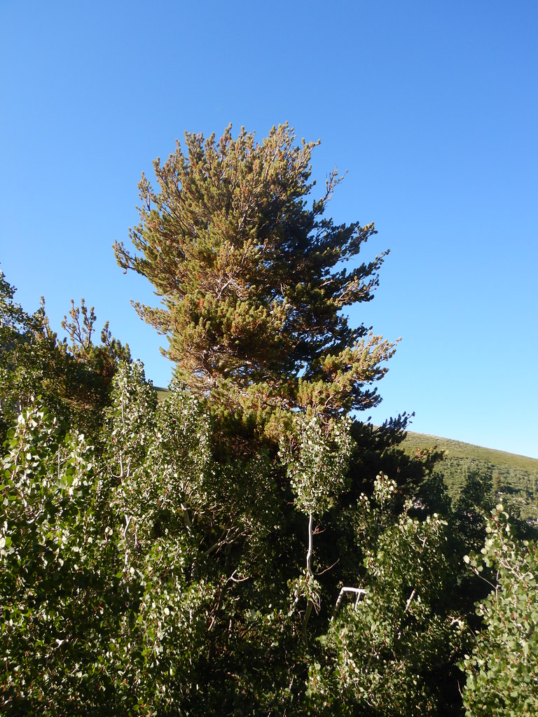 Angel Lake Spring BoxHiking · ~15 min drivePhoto: Matt Lavin, CC BY-SA 2.0 (via Flickr)
- Angel Lake CampgroundCamping · ~15 min drivePhoto: Matt Lavin — CC BY-SA 2.0 (via Flickr)
 Gardner Creek LoopMountain biking · ~16 min drivePhoto: Scott Thompson, CC BY 3.0 (via Wikimedia Commons)
