Hole in the Mountain
- 10,909 ft
- elevation
- Forest Service
- managed by
Is Hole in the Mountain open right now?
Closure in the area
There's a closure order in Humboldt-Toiyabe National Forest. It doesn't name Hole in the Mountain, so check the source for the area it covers.
Elephant Fire Closure
Agency closure covering Humboldt-Toiyabe National Forest · Order 04-17-26-01-04 · USFS · Humboldt-Toiyabe National Forest
Road Closure for Construction Work (Mountain City-Ruby Mountains-Jarbidge Ranger District)
Agency alert covering Mountain City-Ruby Mountains-Jarbidge Ranger District · Order 04-17-26-06-04 · USFS · Mountain City-Ruby Mountains-Jarbidge Ranger District
Area, Road, and Trail Closures (Spring Mountains National Recreation Area)
Agency alert covering Humboldt-Toiyabe National Forest · Order 04-17-25-04 · USFS · Humboldt-Toiyabe National Forest
Year-Round Fire Restrictions (Spring Mountains National Recreation Area)
Agency alert covering Humboldt-Toiyabe National Forest · Order 04-17-24-01 · USFS · Humboldt-Toiyabe National Forest
Vehicle Snow Chain Requirements during Inclement Weather (Spring Mountains National Recreation Area)
Agency alert covering Humboldt-Toiyabe National Forest · Order 04-17-23-01 · USFS · Humboldt-Toiyabe National Forest
As of · Source: USFS · Humboldt-Toiyabe National Forest. Agencies don't list every closure — check before you go.
Hole in the Mountain is a natural arch in Elko County, Nevada, sitting at about 10,909 feet in the East Humboldts Wilderness. The surrounding land is part of the Mountain City-Ruby Mountains-Jarbidge Ranger District of the Humboldt-Toiyabe National Forest, managed by the Forest Service. The nearest town is Wells, about 14.5 miles away. Several hikes start close by, including Winchell Lake and Steele Lake, each about 1.5 miles away, and the East Humboldt Highline Trail (#026), about 2.2 miles off. For an overnight base, Angel Lake Campground is about 5.8 miles away.
- Elevation
- 10,909 ft
- Land manager
- Forest Service
Elevation from USGS 3D Elevation Program terrain data (about 10 m resolution).
- Winchell LakeHiking1.5 mi
- Steele LakeHiking1.5 mi
- Boulder LakeHiking2.2 mi
- East Humboldt Highline Trail (#026)Hiking2.2 mi
 Angel Lake CampgroundCampingPhoto: Matt Lavin — CC BY-SA 2.0 (via Flickr)5.8 mi
- Angel LakeLake fishing5.8 mi
- Angel Creek CampgroundCamping6.5 mi
- Starr CreekCanoeing9.9 mi
Source: Roamze catalog (indexable pages within 10 miles, PostGIS distance)
Also worth it near here
- Steele LakeLake fishing · ~4 min drive
 Humboldt PeakSummit · ~5 min drivePhoto: G. Thomas at English Wikipedia, Public domain (via Wikimedia Commons)
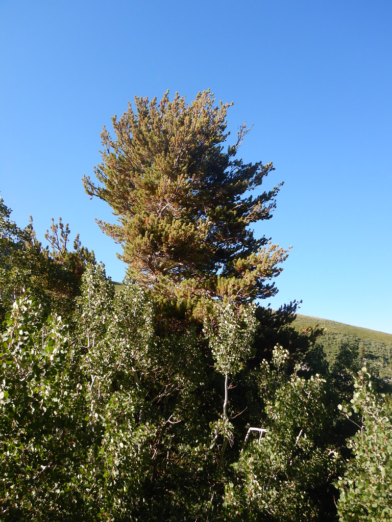 Angel Lake Spring BoxHiking · ~10 min drivePhoto: Matt Lavin, CC BY-SA 2.0 (via Flickr)
- Angel Lake CampgroundCamping · ~10 min drivePhoto: Matt Lavin — CC BY-SA 2.0 (via Flickr)
- Starr CreekCanoeing · ~17 min drive
