Paddling in California

980 spots9 townsUpdated weeklyFree to access
View on mapPaddling · 200 spots
Featured spots
Photo: Pi.1415926535, CC BY-SA 4.0 (via Wikimedia Commons)Canoeing
Alameda Creek
Sunol, California
 Photo: David Eppstein, CC BY-SA 3.0 (via Wikimedia Commons)
Canoeing
Albion River
Comptche, California
 Photo: Stan Shebs, CC BY-SA 3.0 (via Wikimedia Commons)
Canoeing
Amargosa River
Death Valley, California
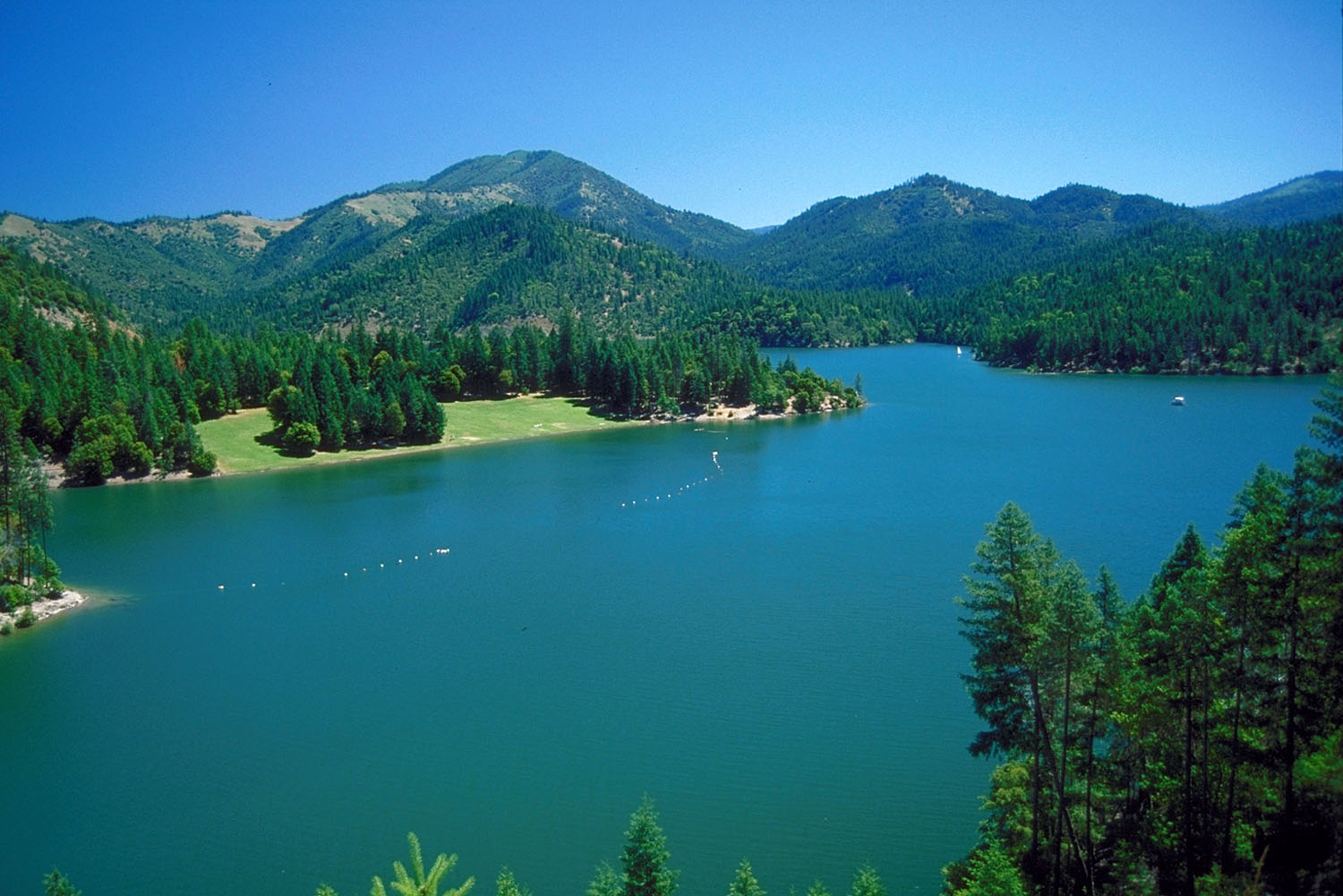 Photo: Bill Johnson, U.S. Army Corps of Engineers, Public domain (via Wikimedia Commons)
Canoeing
Applegate River
Seiad Valley, California
 Photo: Alameda County Resource Conservation District, CC BY-SA 4.0 (via Wikimedia Commons)
Canoeing
Arroyo de la Laguna
Pleasanton, California
All spots · 202 of 980 spots

Canoeing
Ackerman Creek
Ukiah, California
Canoeing
Adobe Creek
Kelseyville, California

Canoeing
Agua Tibia Creek
Valley Center, California
Canoeing
Ah Pah Creek
Hoopa, California
Canoeing
Alamo Creek
Santa Maria, California
Boat launch
Almanor Boat Launch
California
Canoeing
Anderson Creek
Boonville, California
Canoeing
Anderson Creek
Potter Valley, California
Canoeing
Angel Creek
McCloud, California
Canoeing
Antelope Creek
Red Bluff, California
Boat launch
Antlers Boat Ramp
California
Canoeing
Arroyo de la Cruz
San Simeon, California
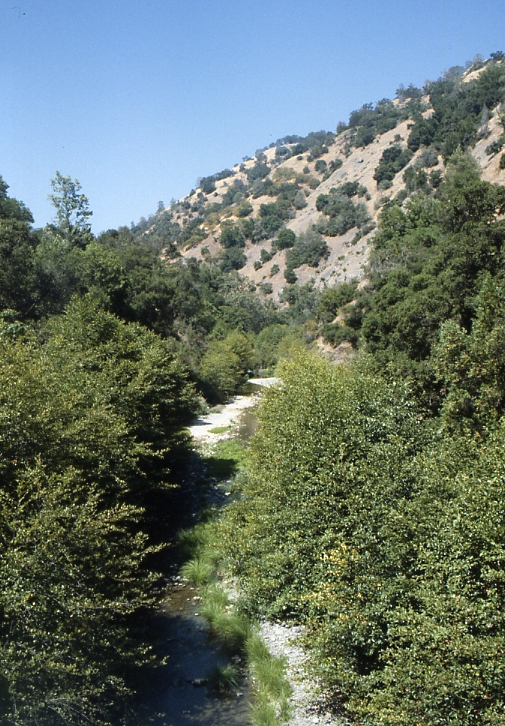 Photo: Robert A. Leidy PhD, US EPA, Public domain (via Wikimedia Commons)
Canoeing
Arroyo Hondo
San Jose, California
Canoeing
Arroyo Seco
Greenfield, California
 Photo: Michael C. Berch, CC BY-SA 3.0 (via Wikimedia Commons)
Canoeing
Arroyo Valle
Livermore, California
Canoeing
Ash Creek
McCloud, California
Boat launch
Aspen Grove Boat Launch
California
 Photo: Eugene Kim from San Francisco, USA, CC BY 2.0 (via Wikimedia Commons)
Canoeing
Atascadero Creek
Sebastopol, California
 Photo: Stepheng3, Public domain (via Wikimedia Commons)
Canoeing
Austin Creek
Cazadero, California
Canoeing
Backbone Creek
French Gulch, California
Canoeing
Baechtel Creek
Willits, California
Boat launch
Bagby Boat Launch
California
Boat launch
Bagdad
California
Boat launch
Bailey Cove Public Boat Ramp
California
Keep exploring — more water worth the drive
 Photo: Nick Ares, CC BY-SA 2.0 (via Wikimedia Commons)
Bear River
~57 min drive
Bear River is a 25-mile paddling stretch near Dutch Flat, California. It is intermittent and may run dry in some seasons. USGS models an average flow of about 578 cfs and a gradient of about 103.8 feet per mile.
SEE
Collins Lake Boat Launch
~30 min drive
Collins Lake Boat Launch is a boat launch in California.
SEE
Euchre Bar Trailhead
~1h 5m drive
 Photo: Marcia Wright, CC BY-SA 3.0 (via Wikimedia Commons)
Cache Creek
~1h 3m drive
Cache Creek is a 15-mile paddling stretch near Woodland, California. It is intermittent and may run dry in some seasons. USGS models an average flow of about 1,431 cfs and a gradient of about 11.7 feet per mile.
SEE
Tisdale Boach Launching Facility
~34 min drive
Tisdale Boach Launching Facility is a boat launch in California.
 Photo: J.smith, CC BY-SA 3.0 (via Wikimedia Commons)
South Yuba River
~1h 7m drive
South Yuba River is a 38-mile paddling stretch near Nevada City, California. It is intermittent and may run dry in some seasons. USGS models an average flow of about 1,222 cfs and a gradient of about 100.5 feet per mile. Land along it is managed by the U.S. Forest Service.
SEE
Knights Landing Fishing Access
~43 min drive
Knights Landing Fishing Access is a boat launch in California.
PADDLE
Dry Creek
~14 min drive
Dry Creek is a 30-mile paddling stretch near Wheatland, California. It is intermittent and may run dry in some seasons. USGS models an average flow of about 106 cfs and a gradient of about 50.5 feet per mile.
SEE
Cottage Creek Boat Ramp
~46 min drive
PADDLE
Raccoon Creek
~21 min drive
Raccoon Creek is a 35-mile paddling stretch near Lincoln, California. It is intermittent and may run dry in some seasons. USGS models an average flow of about 91 cfs and a gradient of about 29.3 feet per mile.
SEE
Rattlesnake Bar
~48 min drive
Rattlesnake Bar is a boat launch in California.
PADDLE
Honcut Creek
~29 min drive
Honcut Creek is a 0.2-mile paddling stretch near Marysville, California. It flows year-round. USGS models an average flow of about 223 cfs.

