 Photo: Finetooth, CC BY-SA 4.0 (via Wikimedia Commons)
Paddling · 17 spots
Featured spots
All spots · 17 spots

Canoeing
Cherry Creek
Myrtle Point, Oregon

Canoeing
East Fork Brummit Creek
Myrtle Point, Oregon

Canoeing
East Fork Coquille River
Myrtle Point, Oregon

Canoeing
Elk Creek
Myrtle Point, Oregon
Canoeing
Hall Creek
Myrtle Point, Oregon

Canoeing
Lost Creek
Myrtle Point, Oregon

Canoeing
Middle Creek
Myrtle Point, Oregon
Canoeing
Myrtle Creek
Myrtle Point, Oregon
Canoeing
Rock Creek
Myrtle Point, Oregon
Canoeing
Tioga Creek
Myrtle Point, Oregon
Canoeing
Upper Rock Creek
Myrtle Point, Oregon
Canoeing
West Fork Brummit Creek
Myrtle Point, Oregon
Keep exploring — more water worth the drive
Photo: Finetooth, CC BY-SA 4.0 (via Wikimedia Commons)Sandy Creek
~8 min drive
Sandy Creek is a 10-mile paddling stretch near Myrtle Point, Oregon. It flows year-round. USGS models an average flow of about 65 cfs and a gradient of about 191.1 feet per mile.
Coquille Boat Ramp
~26 min drive
Coquille Boat Ramp is a boat launch in Oregon.
 Photo: Finetooth, CC BY-SA 3.0 (via Wikimedia Commons)
Middle Fork Coquille River
~20 min drive
Middle Fork Coquille River is a 9-mile paddling stretch near Camas Valley, Oregon. It flows year-round. USGS models an average flow of about 39 cfs and a gradient of about 42.6 feet per mile.
Sturdivant Park Boat Ramp
~26 min drive
Sturdivant Park Boat Ramp is a boat launch in Oregon.
 Photo: Finetooth, CC BY-SA 3.0 (via Wikimedia Commons)
North Fork Coquille River
~24 min drive
North Fork Coquille River is a 21-mile paddling stretch near Coquille, Oregon. It flows year-round. USGS models an average flow of about 144 cfs and a gradient of about 64.2 feet per mile.
Myrtle Tree Boat Ramp
~34 min drive
Myrtle Tree Boat Ramp is a boat launch in Oregon.
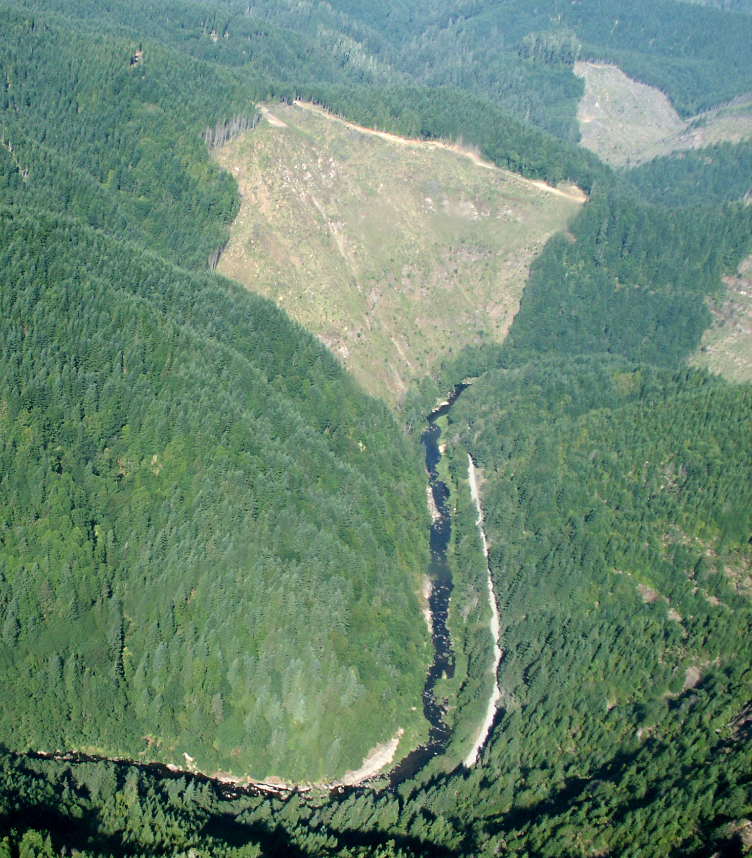 Photo: Francis Eatherington, CC BY-SA 2.0 (via Wikimedia Commons)
Williams River
~25 min drive
Williams River is a 9.9-mile paddling stretch near Roseburg, Oregon. It flows year-round. USGS models an average flow of about 200 cfs and a gradient of about 79.0 feet per mile.
Doris Place Boat Ramp
~36 min drive
Doris Place Boat Ramp is a boat launch in Oregon.
 Photo: Finetooth, CC BY-SA 3.0 (via Wikimedia Commons)
East Fork Millicoma River
~38 min drive
East Fork Millicoma River is a 23-mile paddling stretch near Coos Bay, Oregon. It flows year-round. USGS models an average flow of about 316 cfs and a gradient of about 67.9 feet per mile.
Eastside Boat Ramp
~40 min drive
Eastside Boat Ramp is a boat launch in Oregon.
 Photo: Headwes at English Wikipedia, CC BY-SA 3.0 (via Wikimedia Commons)
South Fork Coquille River
~40 min drive
South Fork Coquille River is a 26-mile paddling stretch near Powers, Oregon. It flows year-round. USGS models an average flow of about 723 cfs and a gradient of about 80.0 feet per mile. Land along it is managed by the U.S. Forest Service.
Bradley Lake Boat Ramp
~45 min drive
Bradley Lake Boat Ramp is a boat launch in Oregon.

