Cherry Creek
- 5.8 mi
- distance
- 609 ft
- high point
- Jun–Sep
- best months
Cherry Creek is a paddling spot in southern Oregon, managed by the Bureau of Land Management through its Coos Bay Umpqua Field Office. It is about 6 miles from the field office's Coos Bay Umpqua Field Office headquarters. The creek is a canoeing route, and the surrounding land offers several other paddling options within a short drive. Summer is the most comfortable time to paddle here. Typical averages from a nearby weather station in Coquille City show July and August highs around 72 to 74°F with only about four wet days a month, while winter months bring highs in the mid-50s and rain on 20 or more days. Middle Creek is the closest paddling neighbor, about 2 miles away. West Fork Brummit Creek and Evans Creek are both a little over 5 miles off. For time on foot, the Blue Ridge Trail is about 8 miles away.
- Middle CreekCanoeing1.8 mi
- West Fork Brummit CreekCanoeing5.1 mi
- Evans CreekCanoeing5.4 mi
- Elk CreekCanoeing5.9 mi
- The ClearcutRock climbing6.5 mi
- Blue Ridge TrailHiking7.7 mi
 Doerner Fir TrailHikingPhoto: BLM, Public domain (via Wikimedia Commons)8.6 mi
- Pack TrailHiking8.8 mi
Source: Roamze catalog (indexable pages within 10 miles, PostGIS distance)
 North Fork Coquille RiverCanoeing · ~12 min drivePhoto: Finetooth, CC BY-SA 3.0 (via Wikimedia Commons)
- Coquille Boat RampBoat launch · ~19 min drive
 Sandy CreekCanoeing · ~21 min drivePhoto: Finetooth, CC BY-SA 4.0 (via Wikimedia Commons)
- Sturdivant Park Boat RampBoat launch · ~20 min drive
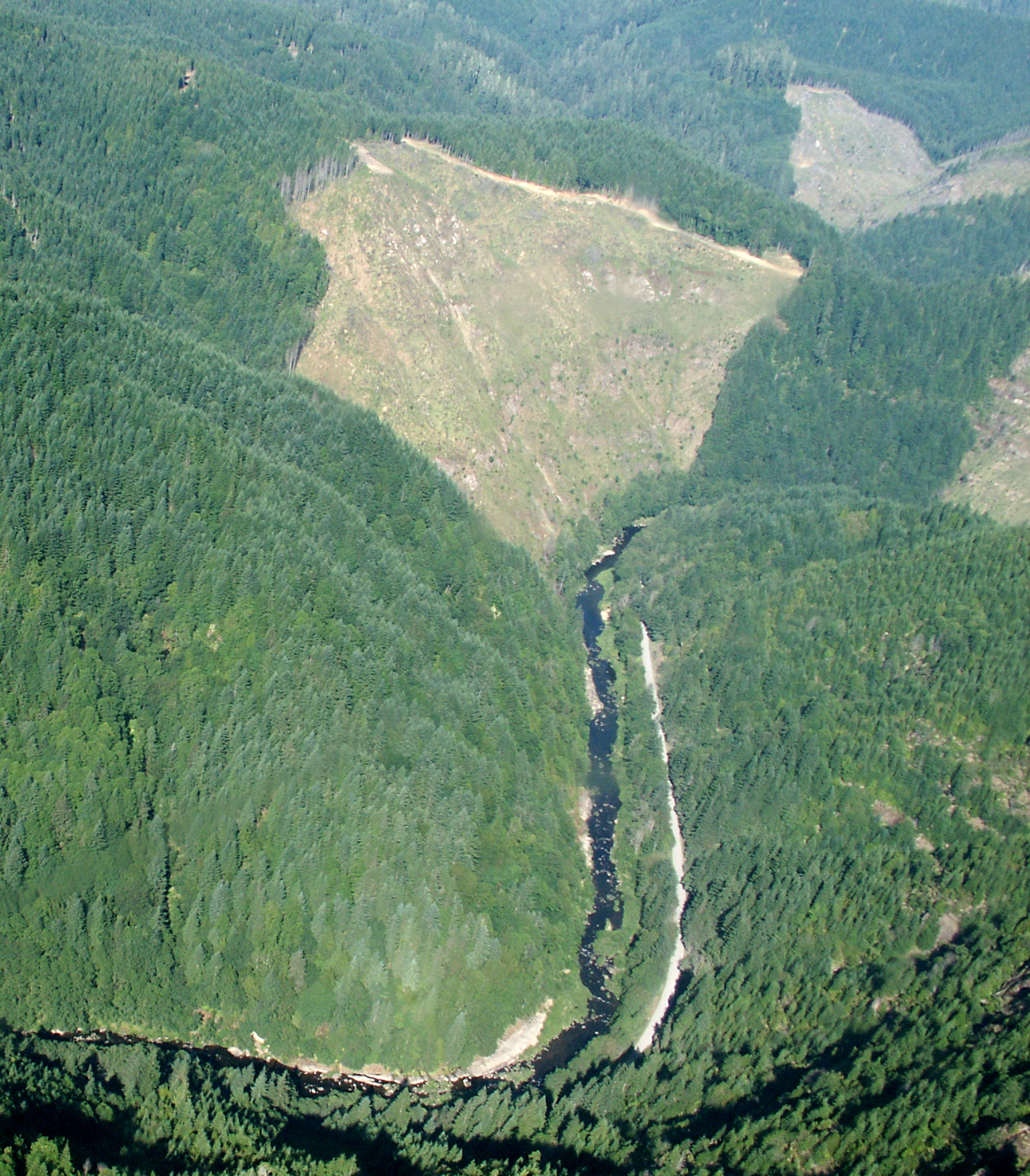 Williams RiverCanoeing · ~26 min drivePhoto: Francis Eatherington, CC BY-SA 2.0 (via Wikimedia Commons)
- Myrtle Tree Boat RampBoat launch · ~21 min drive
 East Fork Millicoma RiverCanoeing · ~27 min drivePhoto: Finetooth, CC BY-SA 3.0 (via Wikimedia Commons)
- Doris Place Boat RampBoat launch · ~23 min drive
 Middle Fork Coquille RiverCanoeing · ~30 min drivePhoto: Finetooth, CC BY-SA 3.0 (via Wikimedia Commons)
- Eastside Boat RampBoat launch · ~27 min drive
Best time to visit Cherry Creek
Best months: June–September. Best months have typical highs of 55–85 °F, lows of 30 °F or warmer (32 °F where the station doesn't record snow), at most one snowy day and no more than 12 wet days.
Jan
55° / 37°
20 wet
Feb
57° / 37°
18 wet
Mar
58° / 39°
19 wet
Apr
60° / 41°
17 wet
May
65° / 45°
13 wet
Jun
68° / 48°
9 wet
Jul
72° / 51°
4 wet
Aug
74° / 51°
4 wet
Sep
73° / 48°
7 wet
Oct
67° / 43°
13 wet
Nov
59° / 40°
19 wet
Dec
54° / 36°
21 wet
Typical high / low (°F) and days with rain or snow, 1991–2020. Measured at Coquille City, OR, 11.6 mi away at 23 ft. The station sits about 600 ft lower than this place, so expect it a little cooler here. Source: NOAA NCEI U.S. Climate Normals 1991–2020.
