Ben Irving Park
Campground
Campground · 5.5 mi from the trail
 Photo: Finetooth, CC BY-SA 3.0 (via Wikimedia Commons)
Clear at last check
Weather is good · OpenWeather · checked 15 h ago
The Middle Fork Coquille River offers a paddling stretch of about 9 miles in Oregon, about 2 miles from the community of Camas Valley. The river flows year-round, so this run isn't limited to a short wet-season window. Expect a fairly steep river for its size. USGS models a gradient of about 42.6 feet per mile and an average flow of about 39 cubic feet per second. That is a modest volume moving downhill at a good clip over the length of the run. Summer and early fall bring the driest weather. Typical averages from the nearby Riddle weather station show June highs around 80°F with about six wet days, and September highs near 84°F with about five. The station sits roughly 775 feet lower than the river, so temperatures out here tend to run a little cooler. Several other paddling stretches lie close by. Berry Creek is about 4 miles away, Tenmile Creek about 6, and the East Fork Coquille River and Camas Creek are each within 7 miles.
Ben Irving Park
Campground
The Arts Center
Gallery
Places © OpenStreetMap contributors, Places © Overture Maps Foundation
More in Myrtle CreekNot on Roamze yet. Their page has how to reach them.
 Sandy CreekCanoeingPhoto: Finetooth, CC BY-SA 4.0 (via Wikimedia Commons)9 mi
Source: Roamze catalog (indexable pages within 10 miles, PostGIS distance)
Sandy CreekCanoeing · ~15 min drivePhoto: Finetooth, CC BY-SA 4.0 (via Wikimedia Commons)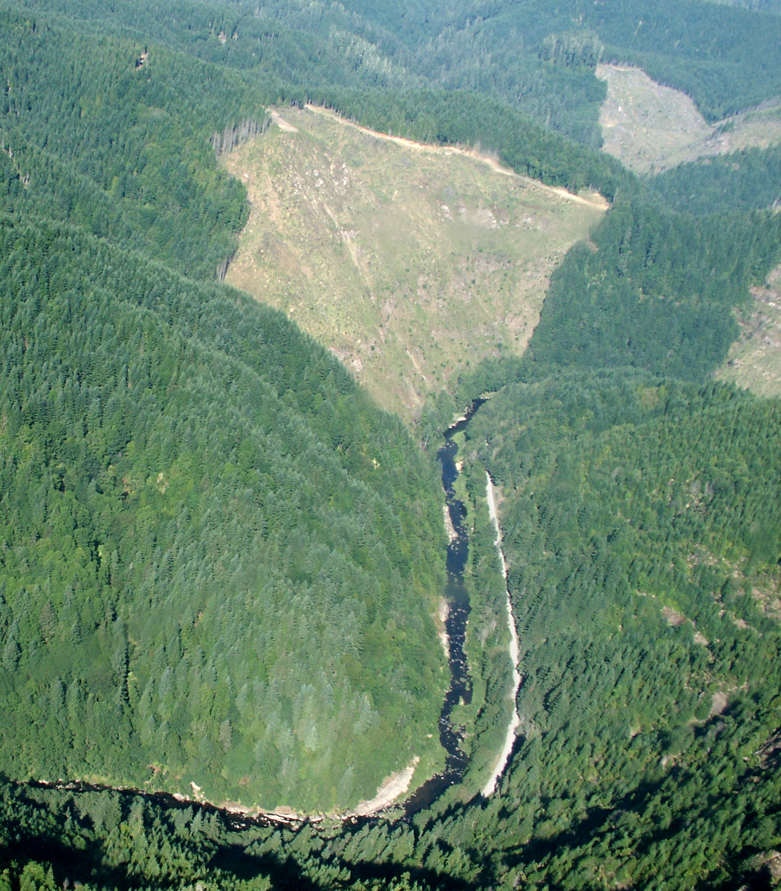 Williams RiverCanoeing · ~20 min drivePhoto: Francis Eatherington, CC BY-SA 2.0 (via Wikimedia Commons)
 North Fork Coquille RiverCanoeing · ~37 min drivePhoto: Finetooth, CC BY-SA 3.0 (via Wikimedia Commons)
 South Fork Coquille RiverCanoeing · ~43 min drivePhoto: Headwes at English Wikipedia, CC BY-SA 3.0 (via Wikimedia Commons)
Best months: May–June and September–October. Best months have typical highs of 55–85 °F, lows of 30 °F or warmer (32 °F where the station doesn't record snow), at most one snowy day and no more than 12 wet days.
Jan
53° / 37°
19 wet
Feb
57° / 37°
17 wet
Mar
62° / 39°
18 wet
Apr
66° / 41°
15 wet
May
74° / 47°
12 wet
Jun
80° / 51°
6 wet
Jul
88° / 55°
2 wet
Aug
89° / 54°
2 wet
Sep
84° / 49°
5 wet
Oct
71° / 43°
12 wet
Nov
58° / 41°
18 wet
Dec
51° / 37°
20 wet
Typical high / low (°F) and days with rain or snow, 1991–2020. Measured at Riddle, OR, 18.3 mi away at 680 ft. The station sits about 800 ft lower than this place, so expect it a little cooler here. Source: NOAA NCEI U.S. Climate Normals 1991–2020.

