 Photo: Finetooth, CC BY-SA 3.0 (via Wikimedia Commons)
Paddling · 21 spots
Featured spots

All spots · 21 spots

Canoeing
Devils Lake Fork
Tillamook, Oregon

Canoeing
East Fork South Fork Trask River
Tillamook, Oregon

Canoeing
Edwards Creek
Tillamook, Oregon
Canoeing
Elk Creek
Tillamook, Oregon
Canoeing
Gold Creek
Tillamook, Oregon
Canoeing
Jordan Creek
Tillamook, Oregon

Canoeing
Little North Fork Wilson River
Tillamook, Oregon

Canoeing
Little South Fork Kilchis River
Tillamook, Oregon
Canoeing
North Fork Kilchis River
Tillamook, Oregon
Canoeing
North Fork Trask River
Tillamook, Oregon
Canoeing
North Fork Wilson River
Tillamook, Oregon
Canoeing
South Fork Jordan Creek
Tillamook, Oregon
Canoeing
South Fork Kilchis River
Tillamook, Oregon
Canoeing
South Fork Trask River
Tillamook, Oregon
Canoeing
South Fork Wilson River
Tillamook, Oregon
Canoeing
West Fork North Fork Wilson River
Tillamook, Oregon
Keep exploring — more water worth the drive
 Photo: Finetooth, CC BY-SA 3.0 (via Wikimedia Commons)
Wilson River
~13 min drive
Wilson River is a 2.5-mile paddling stretch near Tillamook, Oregon. It flows year-round. USGS models an average flow of about 332 cfs and a gradient of about 63.9 feet per mile.
Trask River Park Day Use
~10 min drive
Trask River Park Day Use is a boat launch in Oregon.
 Photo: Finetooth, CC BY-SA 3.0 (via Wikimedia Commons)
Miami River
~22 min drive
Miami River is a 6.7-mile paddling stretch near Nehalem, Oregon. It flows year-round. USGS models an average flow of about 204 cfs and a gradient of about 169.5 feet per mile.
Steiner Boat Launch
~23 min drive
Steiner Boat Launch is a boat launch in Oregon.
 Photo: Cheryl Hill, CC BY-SA 2.0 (via Wikimedia Commons)
Salmonberry River
~25 min drive
Salmonberry River is a 15-mile paddling stretch near Nehalem, Oregon. It flows year-round. USGS models an average flow of about 600 cfs and a gradient of about 109.4 feet per mile.
Nehalem State Park
~35 min drive
Nehalem State Park is a boat launch in Oregon.
 Photo: M.O. Stevens, CC BY-SA 3.0 (via Wikimedia Commons)
Gales Creek
~26 min drive
Gales Creek is a 15-mile paddling stretch near Gales Creek, Oregon. It flows year-round. USGS models an average flow of about 148 cfs and a gradient of about 113.3 feet per mile.
 Photo: M.O. Stevens, CC BY-SA 3.0 (via Wikimedia Commons)
Tualatin River
~27 min drive
Tualatin River is a 18-mile paddling stretch near Gaston, Oregon. It flows year-round. USGS models an average flow of about 193 cfs and a gradient of about 97.4 feet per mile.
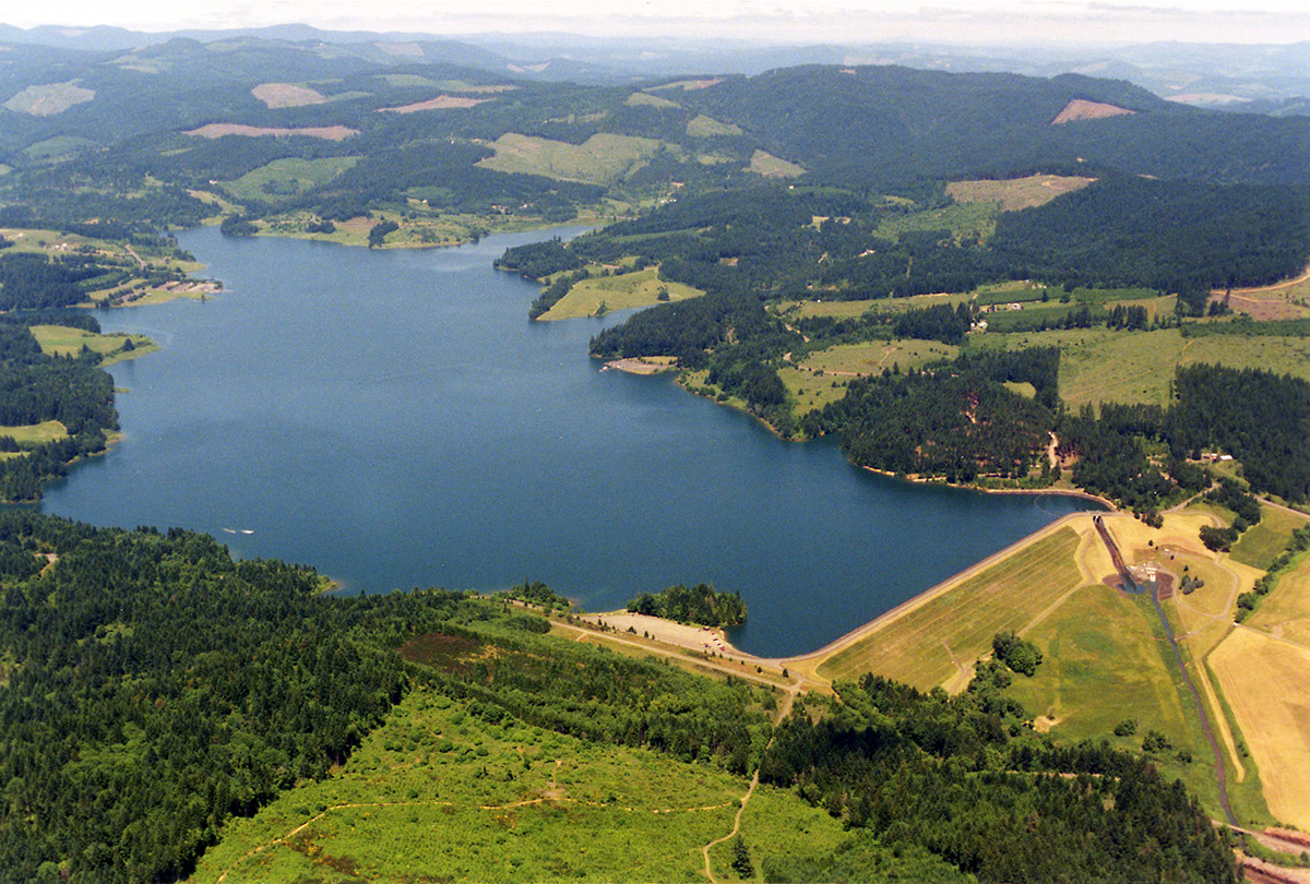 Photo: Dave Walsh, United States Bureau of Reclamation, Public domain (via Wikimedia Commons)
Scoggins Creek
~28 min drive
Scoggins Creek is a 15-mile paddling stretch near Gaston, Oregon. It flows year-round. USGS models an average flow of about 131 cfs and a gradient of about 129.7 feet per mile.
Photo: Finetooth, CC BY-SA 3.0 (via Wikimedia Commons)Tillamook River
~30 min drive
Tillamook River is a 10-mile paddling stretch near Tillamook, Oregon. It flows year-round. USGS models an average flow of about 217 cfs and a gradient of about 66.4 feet per mile.
 Photo: User Decumanus on en.wikipedia, CC BY-SA 3.0 (via Wikimedia Commons)
Nehalem River
~33 min drive
Nehalem River is a 11-mile paddling stretch near Timber, Oregon. It flows year-round. USGS models an average flow of about 4,088 cfs and a gradient of about 66.9 feet per mile.
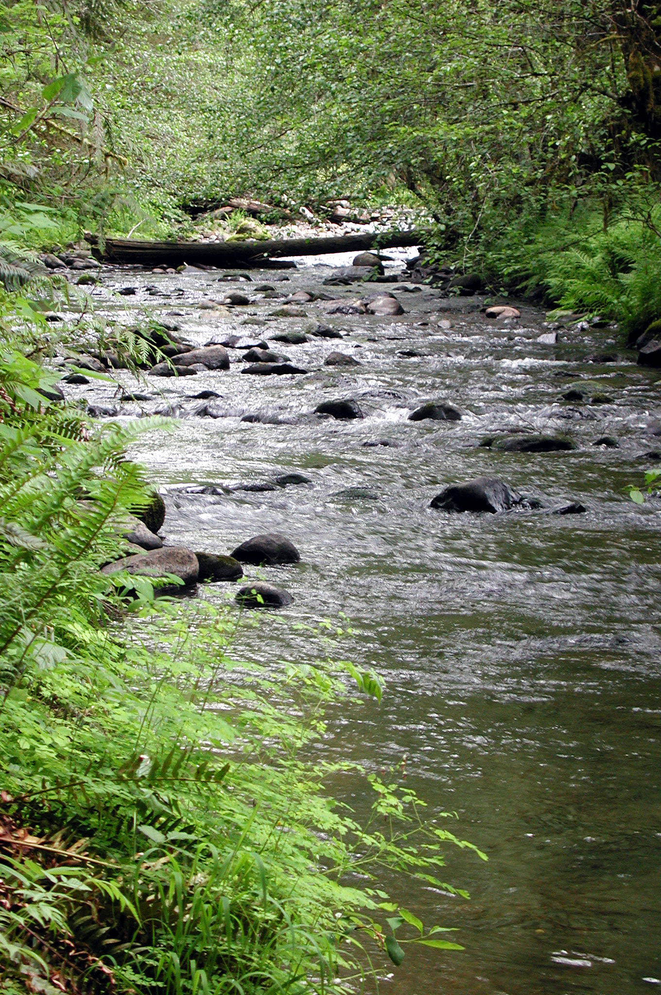 Photo: Finetooth, CC BY-SA 3.0 (via Wikimedia Commons)
North Yamhill River
~36 min drive
North Yamhill River is a 28-mile paddling stretch near Yamhill, Oregon. It flows year-round. USGS models an average flow of about 557 cfs and a gradient of about 41.1 feet per mile.
Also worth it near here


