Myrtle Tree Boat Ramp
- Jun–Sep
- best months
Myrtle Tree Boat Ramp is a boat launch in Oregon, about 6.7 miles from the town of Bunker Hill. It serves as a put-in for paddlers and boaters heading out on the water in this part of the state. Summer is the most comfortable time to visit. Typical averages from a nearby weather station show July and August highs around 66 to 67°F with only about four wet days a month, while winter months bring highs in the low 50s and rain on most days. Paddlers can also look to Daniels Creek, about 2.6 miles away, and Kentuck Slough, about 6.4 miles away, for more canoeing. Hikers have the Blue Ridge Trail at about 5.5 miles and the Mingus Park footpath at about 7.1 miles.
- Daniels CreekCanoeing2.6 mi
- Blue Ridge TrailHiking5.5 mi
- Kentuck SloughCanoeing6.4 mi
- Mingus Park footpathHiking7.1 mi
 North Fork Coquille RiverCanoeingPhoto: Finetooth, CC BY-SA 3.0 (via Wikimedia Commons)7.3 mi
- Pack TrailHiking8.2 mi
- Horsfall Sand CampsCamping9.9 mi
- Horsfall CampgroundCamping9.9 mi
Source: Roamze catalog (indexable pages within 10 miles, PostGIS distance)
- North Fork Coquille RiverCanoeing · ~13 min drivePhoto: Finetooth, CC BY-SA 3.0 (via Wikimedia Commons)
- Doris Place Boat RampBoat launch · ~2 min drive
 East Fork Millicoma RiverCanoeing · ~17 min drivePhoto: Finetooth, CC BY-SA 3.0 (via Wikimedia Commons)
- Eastside Boat RampBoat launch · ~11 min drive
 West Fork Millicoma RiverCanoeing · ~22 min drivePhoto: Finetooth, CC BY-SA 3.0 (via Wikimedia Commons)
- Empire Boat RampBoat launch · ~18 min drive
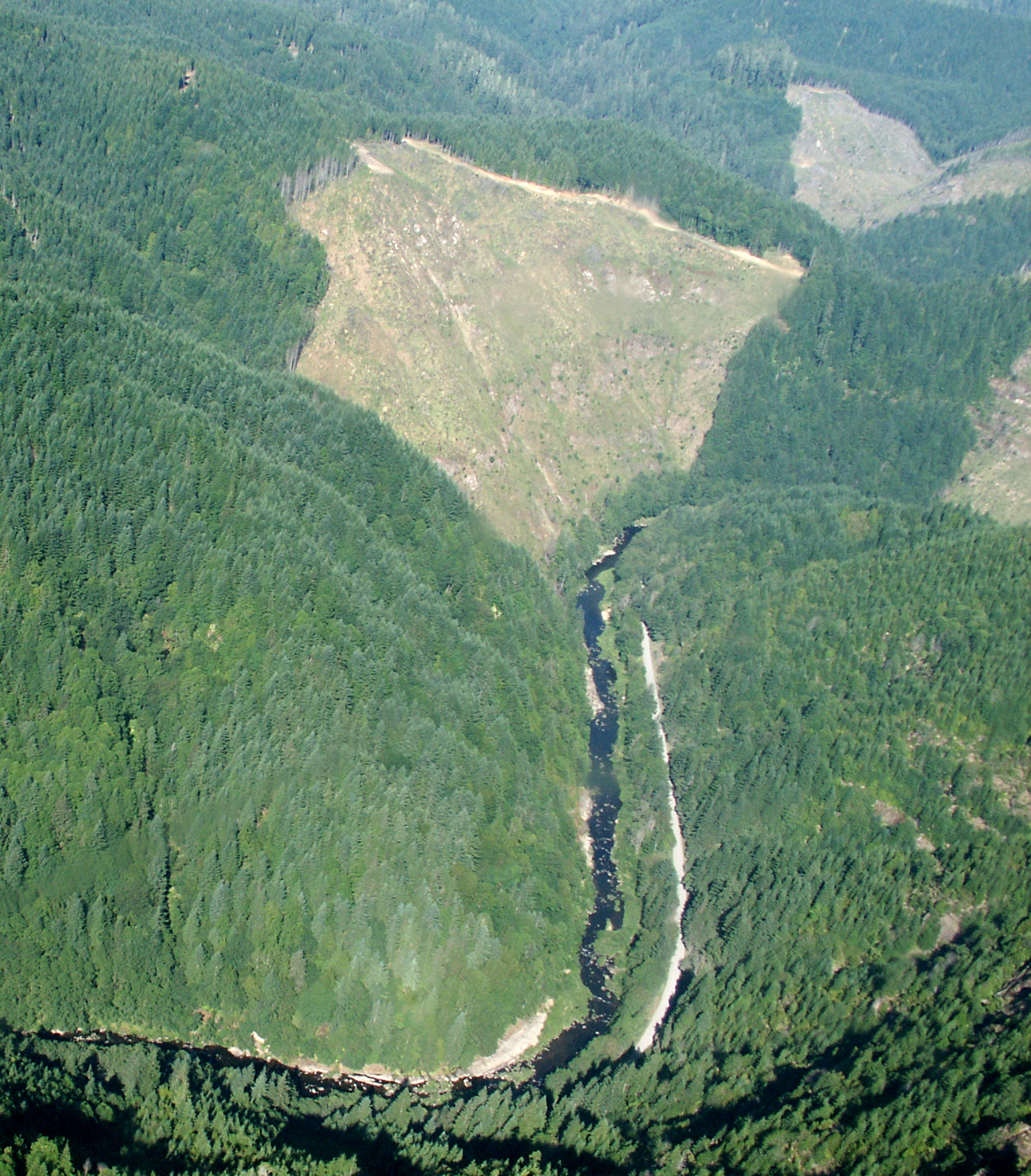 Williams RiverCanoeing · ~38 min drivePhoto: Francis Eatherington, CC BY-SA 2.0 (via Wikimedia Commons)
- Charleston Marina Boat RampBoat launch · ~21 min drive
- Daniels CreekCanoeing · ~4 min drive
- Coquille Boat RampBoat launch · ~24 min drive
Best time to visit Myrtle Tree Boat Ramp
Best months: June–September. Best months have typical highs of 55–85 °F, lows of 30 °F or warmer (32 °F where the station doesn't record snow), at most one snowy day and no more than 12 wet days.
Jan
53° / 41°
19 wet
Feb
54° / 41°
17 wet
Mar
55° / 42°
19 wet
Apr
57° / 44°
17 wet
May
61° / 48°
13 wet
Jun
63° / 51°
9 wet
Jul
66° / 54°
4 wet
Aug
67° / 54°
4 wet
Sep
67° / 51°
7 wet
Oct
63° / 47°
13 wet
Nov
57° / 43°
18 wet
Dec
53° / 40°
20 wet
Typical high / low (°F) and days with rain or snow, 1991–2020. Measured at North Bend Rgnl Ap, OR, 8.9 mi away at 17 ft. Source: NOAA NCEI U.S. Climate Normals 1991–2020.
Map and trail data © OpenStreetMap contributors
