Ben Irving Park
Campground
Campground · 14 mi from the trail
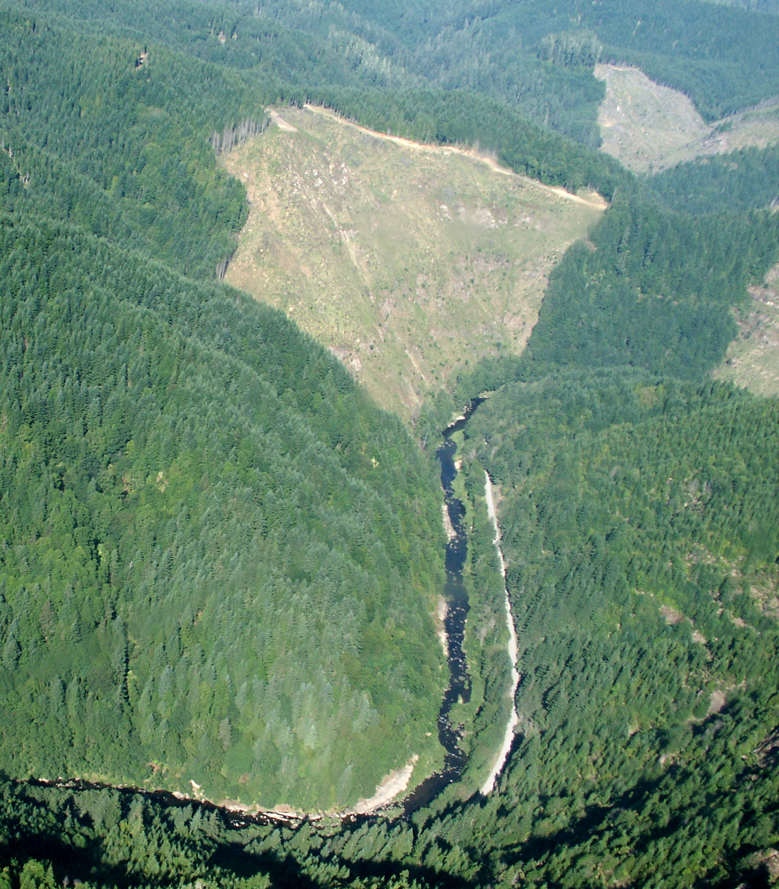 Photo: Francis Eatherington, CC BY-SA 2.0 (via Wikimedia Commons)
Clear today
Weather is good · OpenWeather · checked just now
Williams River is a paddling route in southwest Oregon, about 5 miles from the town of Callahan. The water is the main draw here, and the surrounding area adds plenty to plan around, with climbing areas, other paddling streams and a trail within a short drive. Summer is the most comfortable time to put in. Typical averages from a nearby weather station run from highs around 86°F in July and August, with only a couple of wet days a month, while winter brings highs in the upper 40s and rain on more than half the days. That station sits about 1,000 feet lower than the river, so expect cooler temperatures on the water. Close by, Brittsan Rock and Inca Rock offer rock climbing, and Cedar Creek and Lost Creek are both paddling routes within about 6 miles.
Ben Irving Park
Campground
The Arts Center
Gallery
Places © OpenStreetMap contributors, Places © Overture Maps Foundation
More in Myrtle Creek Doerner Fir TrailHikingPhoto: BLM, Public domain (via Wikimedia Commons)7.7 mi
Source: Roamze catalog (indexable pages within 10 miles, PostGIS distance)
 Middle Fork Coquille RiverCanoeing · ~20 min drivePhoto: Finetooth, CC BY-SA 3.0 (via Wikimedia Commons)
 North Fork Coquille RiverCanoeing · ~26 min drivePhoto: Finetooth, CC BY-SA 3.0 (via Wikimedia Commons)
 Sandy CreekCanoeing · ~27 min drivePhoto: Finetooth, CC BY-SA 4.0 (via Wikimedia Commons)
 East Fork Millicoma RiverCanoeing · ~31 min drivePhoto: Finetooth, CC BY-SA 3.0 (via Wikimedia Commons)
Best months: May–June and September–October. Best months have typical highs of 55–85 °F, lows of 30 °F or warmer (32 °F where the station doesn't record snow), at most one snowy day and no more than 12 wet days.
Jan
50° / 37°
18 wet
Feb
54° / 38°
16 wet
Mar
59° / 40°
17 wet
Apr
63° / 42°
15 wet
May
71° / 48°
11 wet
Jun
77° / 52°
6 wet
Jul
86° / 57°
2 wet
Aug
86° / 57°
2 wet
Sep
80° / 52°
5 wet
Oct
67° / 45°
12 wet
Nov
54° / 41°
18 wet
Dec
48° / 37°
20 wet
Typical high / low (°F) and days with rain or snow, 1991–2020. Measured at Roseburg Rgnl Ap, OR, 16.1 mi away at 525 ft. The station sits about 1,000 ft lower than this place, so expect it a little cooler here. This station doesn't record snowfall. Source: NOAA NCEI U.S. Climate Normals 1991–2020.
