Oregon · Canoeing · Myrtle Point
Upper Rock Creek
- 12.2 mi
- distance
- 2,695 ft
- high point
Clear today
Weather is good · OpenWeather · checked just now
Upper Rock Creek is a 12-mile paddling stretch near Myrtle Point, Oregon. It flows year-round. USGS models an average flow of about 79 cfs and a gradient of about 198.8 feet per mile.
Local outfitters
- Coral Sea Scuba48 mi away
Not on Roamze yet. Their page has how to reach them.
 Sandy CreekCanoeingPhoto: Finetooth, CC BY-SA 4.0 (via Wikimedia Commons)2.7 mi
- Camas CreekCanoeing5.5 mi
 Middle Fork Coquille RiverCanoeingPhoto: Finetooth, CC BY-SA 3.0 (via Wikimedia Commons)6.3 mi
- Big CreekCanoeing7.4 mi
- East Fork Coquille RiverCanoeing7.6 mi
- The ClearcutRock climbing7.8 mi
- Brummit CreekCanoeing7.9 mi
 Doerner Fir TrailHikingPhoto: BLM, Public domain (via Wikimedia Commons)9.5 mi
Source: Roamze catalog (indexable pages within 10 miles, PostGIS distance)
- Sandy CreekCanoeing · ~5 min drivePhoto: Finetooth, CC BY-SA 4.0 (via Wikimedia Commons)
- Coquille Boat RampBoat launch · ~37 min drive
- Middle Fork Coquille RiverCanoeing · ~11 min drivePhoto: Finetooth, CC BY-SA 3.0 (via Wikimedia Commons)
- Sturdivant Park Boat RampBoat launch · ~37 min drive
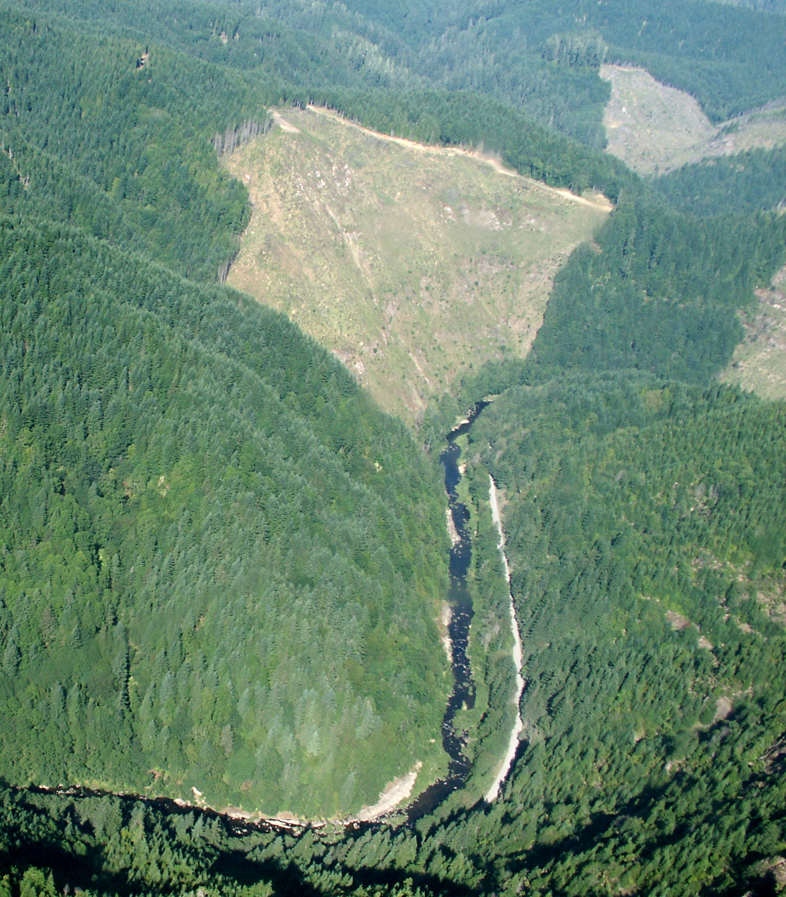 Williams RiverCanoeing · ~25 min drivePhoto: Francis Eatherington, CC BY-SA 2.0 (via Wikimedia Commons)
 North Fork Coquille RiverCanoeing · ~34 min drivePhoto: Finetooth, CC BY-SA 3.0 (via Wikimedia Commons)
 South Fork Coquille RiverCanoeing · ~36 min drivePhoto: Headwes at English Wikipedia, CC BY-SA 3.0 (via Wikimedia Commons)
- Camas CreekCanoeing · ~9 min drive
- Big CreekCanoeing · ~13 min drive
- East Fork Coquille RiverCanoeing · ~13 min drive
