Lost Creek
- 5.1 mi
- distance
- 1,859 ft
- high point
- May–Jun, Sep–Oct
- best months
Clear at last check
Weather is good · OpenWeather · checked 16 h ago
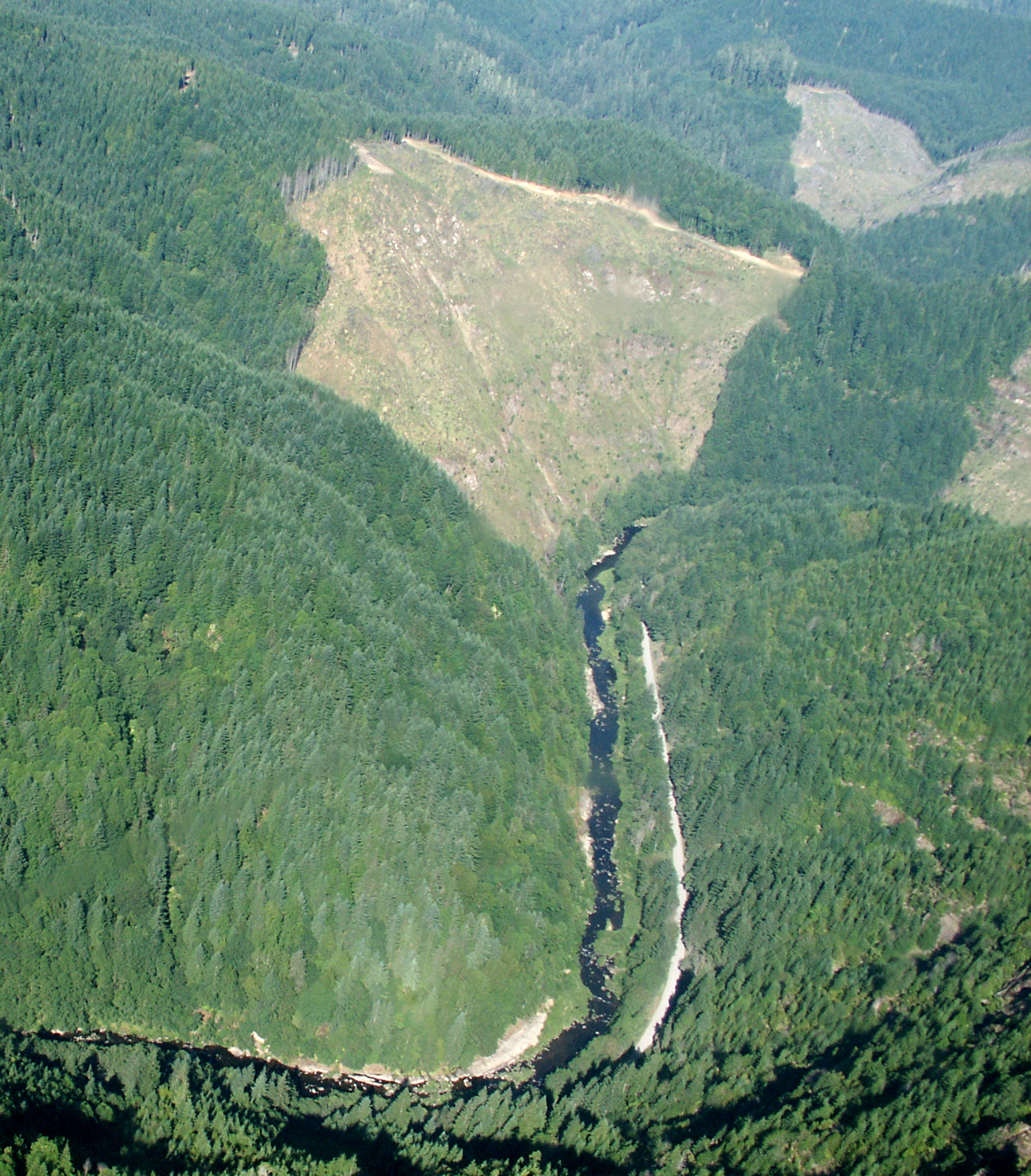
Lost Creek is a 5.1-mile paddling stretch near Myrtle Point, Oregon, with the town of Sitkum about 6 miles away. The creek flows year-round, and USGS models an average flow of about 44 cubic feet per second and a gradient of about 155 feet per mile. Summer is the most comfortable time to paddle. Typical averages from a nearby weather station show July and August highs around 86°F with only about two wet days a month, while winter months bring highs in the upper 40s and rain on most days. That station sits well below the creek, so temperatures on the water run cooler. The East Fork Coquille River is about 1.6 miles away, and East Fork Brummit Creek is about 3.8 miles off. For a hike, the Doerner Fir Trail is about 3.6 miles away, and Camas Creek is about 4.2 miles away.
- East Fork Coquille RiverCanoeing1.6 mi
 Doerner Fir TrailHikingPhoto: BLM, Public domain (via Wikimedia Commons)3.6 mi
- East Fork Brummit CreekCanoeing3.8 mi
- Camas CreekCanoeing4.2 mi
- The ClearcutRock climbing7.7 mi
- Brittsan RockRock climbing8.9 mi
- Orphan RockRock climbing9 mi
- Callahans Climbing TrailHiking9.4 mi
Source: Roamze catalog (indexable pages within 10 miles, PostGIS distance)
 Williams RiverCanoeing · ~10 min drivePhoto: Francis Eatherington, CC BY-SA 2.0 (via Wikimedia Commons)
- Myrtle Tree Boat RampBoat launch · ~38 min drive
 Middle Fork Coquille RiverCanoeing · ~13 min drivePhoto: Finetooth, CC BY-SA 3.0 (via Wikimedia Commons)
- Osprey Boat RampBoat launch · ~38 min drive
 Sandy CreekCanoeing · ~18 min drivePhoto: Finetooth, CC BY-SA 4.0 (via Wikimedia Commons)
- Coquille Boat RampBoat launch · ~39 min drive
 North Fork Coquille RiverCanoeing · ~25 min drivePhoto: Finetooth, CC BY-SA 3.0 (via Wikimedia Commons)
 East Fork Millicoma RiverCanoeing · ~35 min drivePhoto: Finetooth, CC BY-SA 3.0 (via Wikimedia Commons)
- East Fork Coquille RiverCanoeing · ~3 min drive
- East Fork Brummit CreekCanoeing · ~7 min drive
Best time to visit Lost Creek
Best months: May–June and September–October. Best months have typical highs of 55–85 °F, lows of 30 °F or warmer (32 °F where the station doesn't record snow), at most one snowy day and no more than 12 wet days.
Jan
50° / 37°
18 wet
Feb
54° / 38°
16 wet
Mar
59° / 40°
17 wet
Apr
63° / 42°
15 wet
May
71° / 48°
11 wet
Jun
77° / 52°
6 wet
Jul
86° / 57°
2 wet
Aug
86° / 57°
2 wet
Sep
80° / 52°
5 wet
Oct
67° / 45°
12 wet
Nov
54° / 41°
18 wet
Dec
48° / 37°
20 wet
Typical high / low (°F) and days with rain or snow, 1991–2020. Measured at Roseburg Rgnl Ap, OR, 20 mi away at 525 ft. The station sits about 1,300 ft lower than this place, so expect it a little cooler here. This station doesn't record snowfall. Source: NOAA NCEI U.S. Climate Normals 1991–2020.
