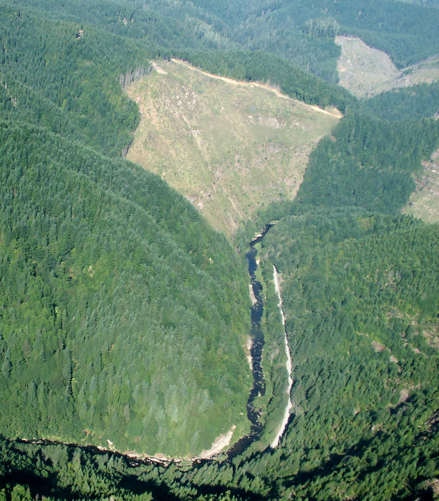
Doerner Fir Trail
 Photo: BLM, Public domain (via Wikimedia Commons)
- 0.4 mi
- round trip
- 420 ft
- climb
- 1,620 ft
- high point
- Out and back
- route
- May–Jun, Sep–Oct
- best months
Doerner Fir Trail is a short, easy hike in Oregon on Bureau of Land Management land within the Coos Bay Myrtlewood Field Office. The trailhead is called Doerner Fir Trailhead, and the route is an out-and-back that gains about 106 feet over roughly 0.76 miles, with the high point at 1,620 feet. Late spring and early fall are the most comfortable times to go. Typical averages from a nearby weather station in Roseburg show June highs around 77°F with only about six wet days, and September highs near 80°F with around five wet days. That station sits well below the trail, so temperatures on the trail run cooler. Paddlers will find East Fork Brummit Creek about 0.4 miles away, and Brummit Creek, West Fork Brummit Creek and Lost Creek are all within about 4 miles.
Local outfitters
- Remote Outpost RV Park13 mi away
- Bay Point Landing28 mi away
Not on Roamze yet. Their page has how to reach them.
Best time to go · May–Jun, Sep–Oct
Best time to visit Doerner Fir Trail
Best months: May–June and September–October. Best months have typical highs of 55–85 °F, lows of 30 °F or warmer (32 °F where the station doesn't record snow), at most one snowy day and no more than 12 wet days.
Jan
50° / 37°
18 wet
Feb
54° / 38°
16 wet
Mar
59° / 40°
17 wet
Apr
63° / 42°
15 wet
May
71° / 48°
11 wet
Jun
77° / 52°
6 wet
Jul
86° / 57°
2 wet
Aug
86° / 57°
2 wet
Sep
80° / 52°
5 wet
Oct
67° / 45°
12 wet
Nov
54° / 41°
18 wet
Dec
48° / 37°
20 wet
Typical high / low (°F) and days with rain or snow, 1991–2020. Measured at Roseburg Rgnl Ap, OR, 23.2 mi away at 525 ft. The station sits about 1,100 ft lower than this place, so expect it a little cooler here. This station doesn't record snowfall. Source: NOAA NCEI U.S. Climate Normals 1991–2020.
Keep exploring — more trails worth the drive
 Photo: Don Henise, CC BY 2.0 (via Flickr)
Coquille River Walk
~33 min drive
0.96-mile out-and-back walk along the Coquille River in Oregon.
 Photo: Don Henise — CC BY 2.0 (via Flickr)
Mt. Bolivar
~46 min drive
2-mile out-and-back trail to Mt. Bolivar in Oregon.
HIKE
Blue Ridge Trail
~27 min drive
Out-and-back ridge trail with scenic views in Oregon's high country.
HIKE
Old Multnomah Goat Trail
~47 min drive
9.54-mile out-and-back hike in Oregon with 5,468 ft elevation gain/loss.
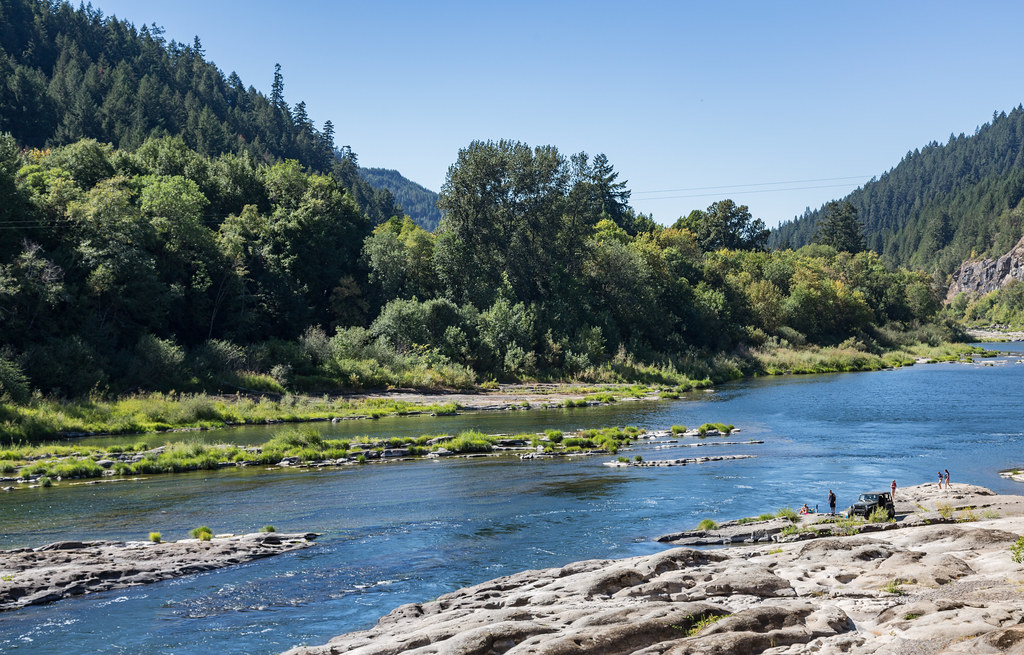 Photo: Tony Webster, CC BY 2.0 (via Flickr)
Tyee Trail
~46 min drive
0.37-mile out-and-back trail in Oregon with 273 ft gain.
HIKE
Callahans Climbing Trail
~21 min drive
1.0-mile out-and-back trail in Oregon with 1,210 ft elevation gain.
HIKE
Hare Creek-Stag Trail Tie
~47 min drive
9.2-mile out-and-back trail in Oregon with 3,785 ft elevation gain
HIKE
West Fork Mule Creek
~55 min drive
6.57-mile out-and-back trail in Oregon with 3,098 ft elevation gain.
 Photo: Don Henise, CC BY 2.0 (via Flickr)
Elk Creek Falls
~47 min drive
0.20-mile out-and-back trail to Elk Creek Falls in Oregon with 182 ft of elevation gain.
HIKE
Loon Lake Waterfall Trail
~49 min drive
0.8-mile out-and-back trail with 1,304 ft elevation gain and loss in Oregon.