Umpqua Safari RV Park
Campground
Campground · 10 mi from the trail
Callahans Climbing Trail is a 0.5-mile out-and-back hike in Oregon, about 4 miles from the town of Callahan. The trail is a front-loaded climb, with the steepest stretch at about 0.13 miles from the start, and it rises from 1,572 feet to a high point of 2,318 feet. The total elevation gain is 1,210 feet, and the route is rated moderate. Summer is the most comfortable time to go. Typical averages from a nearby weather station in Riddle show July and August highs around 88 to 89°F with only about two wet days a month, while winter brings highs in the low 50s and rain on most days. That station sits well below the trail, so temperatures on the climb run cooler. The trail makes an easy pairing with the climbing areas close by. Land of Oz, Westeros and Griffin's Roost are all about 0.3 miles away. For paddling, Morgan Creek is roughly 4 miles off.
Umpqua Safari RV Park
Campground
Treats Highway 42 Cafe
Restaurant
The Arts Center
Gallery
Places © OpenStreetMap contributors, Places © Overture Maps Foundation
More in Myrtle CreekNot on Roamze yet. Their page has how to reach them.
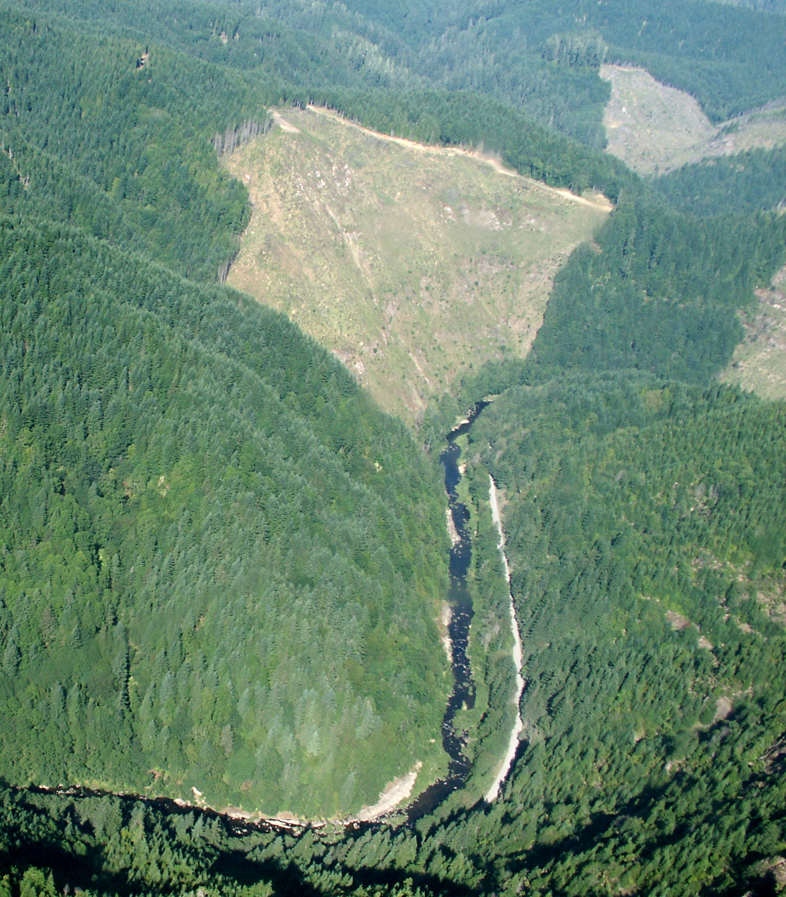 Williams RiverCanoeingPhoto: Francis Eatherington, CC BY-SA 2.0 (via Wikimedia Commons)5.6 mi
Source: Roamze catalog (indexable pages within 10 miles, PostGIS distance)
 Doerner Fir TrailHiking · ~21 min drivePhoto: BLM, Public domain (via Wikimedia Commons)
 North Umpqua TrailHiking · ~50 min drivePhoto: Bonnie Moreland (free images), Public Domain Mark (via Flickr)
 Mt. BolivarHiking · ~55 min drivePhoto: Don Henise — CC BY 2.0 (via Flickr)
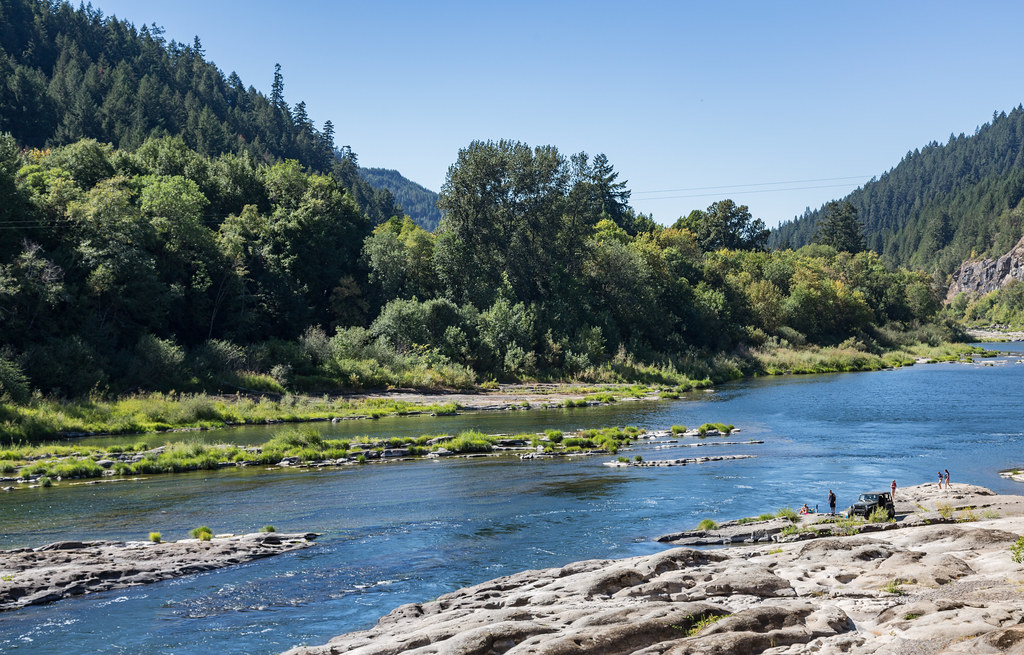 Tyee TrailHiking · ~33 min drivePhoto: Tony Webster, CC BY 2.0 (via Flickr)
 Coquille River WalkHiking · ~54 min drivePhoto: Don Henise, CC BY 2.0 (via Flickr)
Best months: May–June and September–October. Best months have typical highs of 55–85 °F, lows of 30 °F or warmer (32 °F where the station doesn't record snow), at most one snowy day and no more than 12 wet days.
Jan
53° / 37°
19 wet
Feb
57° / 37°
17 wet
Mar
62° / 39°
18 wet
Apr
66° / 41°
15 wet
May
74° / 47°
12 wet
Jun
80° / 51°
6 wet
Jul
88° / 55°
2 wet
Aug
89° / 54°
2 wet
Sep
84° / 49°
5 wet
Oct
71° / 43°
12 wet
Nov
58° / 41°
18 wet
Dec
51° / 37°
20 wet
Typical high / low (°F) and days with rain or snow, 1991–2020. Measured at Riddle, OR, 21.1 mi away at 680 ft. The station sits about 1,600 ft lower than this place, so expect it a little cooler here. Source: NOAA NCEI U.S. Climate Normals 1991–2020.
Map and trail data © OpenStreetMap contributors
