Ben Irving Park
Campground
Campground · 11 mi from the trail
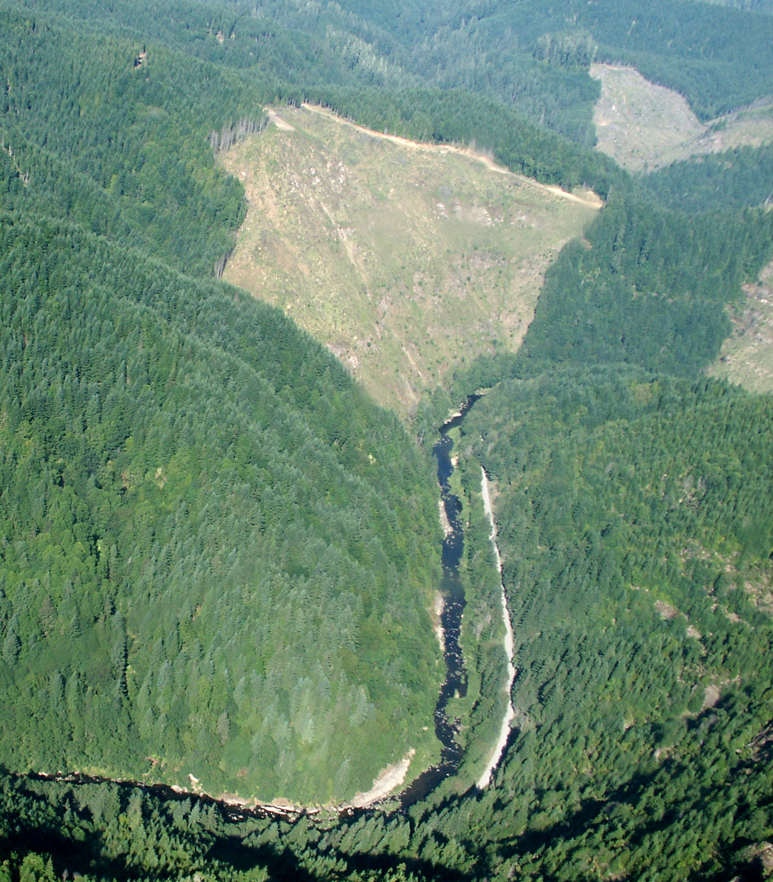
Lost Creek Falls is a waterfall in Oregon, sitting at about 1,500 feet in elevation roughly 12 miles from the town of Lookingglass. It makes a natural anchor for a day of paddling and hiking in the area, with several waterways and trails within a short drive. Summer is the most comfortable time to visit. Typical averages from a nearby weather station in Roseburg show July and August highs in the upper 80s with only about two wet days a month, while winter brings highs in the low 50s and rain on most days. That station sits well below the falls, so temperatures at the falls run cooler. Lost Creek, a canoeing spot about half a mile away, and the East Fork Coquille River, about a mile and a half off, are the closest paddling options. The Doerner Fir Trail is about 4 miles away for hiking, and the Clearcut climbing area is roughly 8 miles out.
Ben Irving Park
Campground
The Arts Center
Gallery
Places © OpenStreetMap contributors, Places © Overture Maps Foundation
More in Myrtle CreekElevation from USGS 3D Elevation Program terrain data (about 10 m resolution).
 Doerner Fir TrailHikingPhoto: BLM, Public domain (via Wikimedia Commons)4.1 mi
Source: Roamze catalog (indexable pages within 10 miles, PostGIS distance)
Best months: May–June and September–October. Best months have typical highs of 55–85 °F, lows of 30 °F or warmer (32 °F where the station doesn't record snow), at most one snowy day and no more than 12 wet days.
Jan
51° / 36°
18 wet
Feb
55° / 37°
16 wet
Mar
60° / 38°
17 wet
Apr
65° / 42°
15 wet
May
73° / 47°
11 wet
Jun
79° / 52°
5 wet
Jul
88° / 57°
2 wet
Aug
89° / 56°
2 wet
Sep
83° / 50°
5 wet
Oct
69° / 44°
11 wet
Nov
56° / 41°
17 wet
Dec
49° / 37°
19 wet
Typical high / low (°F) and days with rain or snow, 1991–2020. Measured at Roseburg Kqen, OR, 18.9 mi away at 425 ft. The station sits about 1,100 ft lower than this place, so expect it a little cooler here. Source: NOAA NCEI U.S. Climate Normals 1991–2020.