Tyee Trail
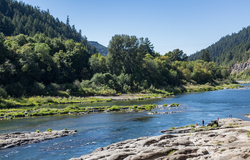 Photo: Tony Webster, CC BY 2.0 (via Flickr)
- 0.4 mi
- round trip
- 337 ft
- climb
- 220 ft
- high point
- Out and back
- route
- May–Jun, Sep–Oct
- best months
Tyee Trail is a short out-and-back route in Oregon managed by the Bureau of Land Management. The trail covers 0.37 miles with 273 feet of elevation gain and 337 feet of elevation loss.
Local outfitters
- The Big K Guest Ranch11 mi away
- Remote Outpost RV Park39 mi away
Not on Roamze yet. Their page has how to reach them.
- Nearby · North Umpqua Trail · Doerner Fir Trail · North Fork Smith River Trail
Best time to go · May–Jun, Sep–Oct
Best time to visit Tyee Trail
Best months: May–June and September–October. Best months have typical highs of 55–85 °F, lows of 30 °F or warmer (32 °F where the station doesn't record snow), at most one snowy day and no more than 12 wet days.
Jan
50° / 37°
21 wet
Feb
55° / 38°
18 wet
Mar
60° / 39°
19 wet
Apr
65° / 41°
15 wet
May
72° / 46°
11 wet
Jun
77° / 49°
6 wet
Jul
86° / 53°
2 wet
Aug
86° / 52°
2 wet
Sep
81° / 49°
5 wet
Oct
69° / 43°
11 wet
Nov
55° / 41°
19 wet
Dec
49° / 37°
22 wet
Typical high / low (°F) and days with rain or snow, 1991–2020. Measured at Elkton 3 Sw, OR, 9.6 mi away at 120 ft. Source: NOAA NCEI U.S. Climate Normals 1991–2020.
Keep exploring — more trails worth the drive
 Photo: Bonnie Moreland (free images), Public Domain Mark (via Flickr)
North Umpqua Trail
~45 min drive
Riverside out-and-back trail following the North Umpqua River through Oregon's Cascades.
 Photo: BLM, Public domain (via Wikimedia Commons)
Doerner Fir Trail
~46 min drive
0.38-mile out-and-back hike to a fir tree in Oregon.
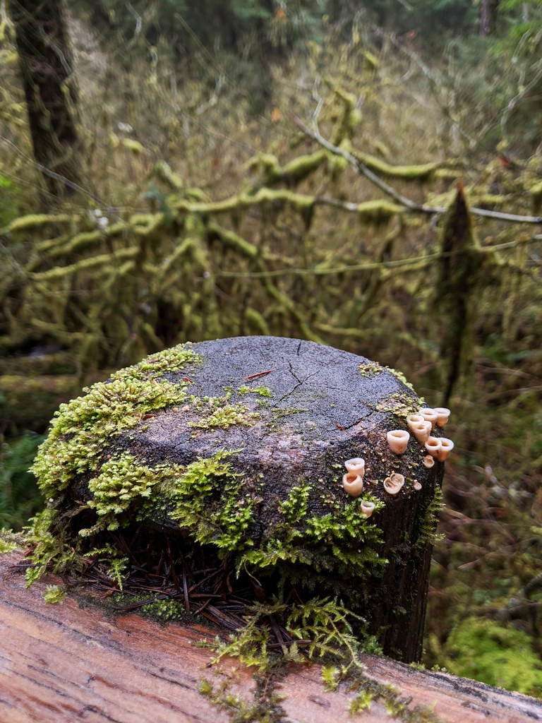 Photo: Jonathan Lidbeck, CC BY 2.0 (via Flickr)
North Fork Smith River Trail
~60 min drive
13.08-mile out-and-back hike along North Fork Smith River in Oregon.
Photo: Jonathan Lidbeck, CC BY 2.0 (via Flickr)Kentucky Falls
~58 min drive
4.10-mile out-and-back trail in Oregon with 595 ft elevation gain.
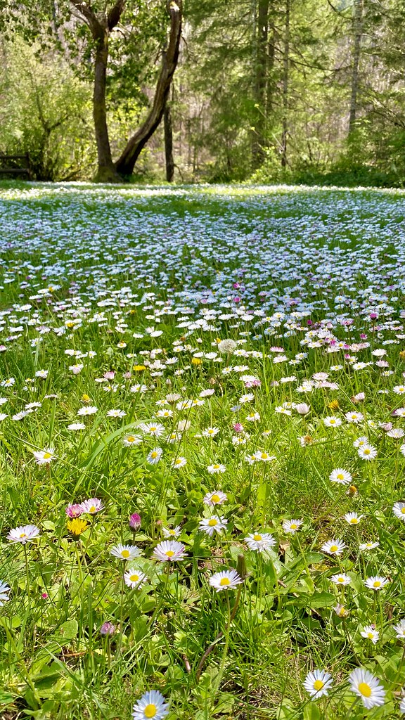 Photo: lamblukas, CC BY 2.0 (via Flickr)
Susan Creek Falls Trail
~55 min drive
0.74-mile out-and-back to Susan Creek Falls in Oregon
HIKE
Middle Ridge Trail
~30 min drive
10.98-mile out-and-back hike in Oregon with 2,750 ft gain/loss
HIKE
Blacktail Ridge Trail
~29 min drive
2.96-mile out-and-back hike in Oregon with 1,064 ft elevation gain.
Photo: lamblukas, CC BY 2.0 (via Flickr)Emerald Trail
~55 min drive
Out-and-back Oregon trail featuring scenic natural landscapes.
HIKE
Trail Creek
~50 min drive
6.42-mile out-and-back trail in Oregon with 3,221 ft elevation gain
HIKE
Talburt Trail
~30 min drive
2.84-mile out-and-back trail in Oregon with 1,829 ft gain/loss
