Timber Valley SKP RV Park
Campground
Campground · 1.2 mi from the trail
Cooper Creek Trail is a hard hike in Oregon, about 1.6 miles from the town of Sutherlin. The route is roughly 5.8 miles long, and it rises from a low point of 651 feet to a high of 853 feet, with a total elevation gain of 2,763 feet. The climb is steep, with the steepest stretch at about 4.7 miles in, where the grade reaches 29 percent. Summer is the most comfortable time to go. Typical averages from a nearby weather station in Winchester show July and August highs around 86°F with only about two wet days a month, while winter months bring highs near 50°F and rain on most days. The trip takes about 3.5 hours. Sutherlin Creek, a canoeing spot, is about 1.5 miles away. Ford's Pond Path and Ridge Trail are both about 4 miles off, and Blacktail Ridge Trail is about 4.5 miles away.
Timber Valley SKP RV Park
Campground
ElHorse
Mexican restaurant
Clark Studio & Gallery
Gallery
Places © OpenStreetMap contributors, Places © Overture Maps Foundation
More in Myrtle CreekNot on Roamze yet. Their page has how to reach them.
Source: Roamze catalog (indexable pages within 10 miles, PostGIS distance)
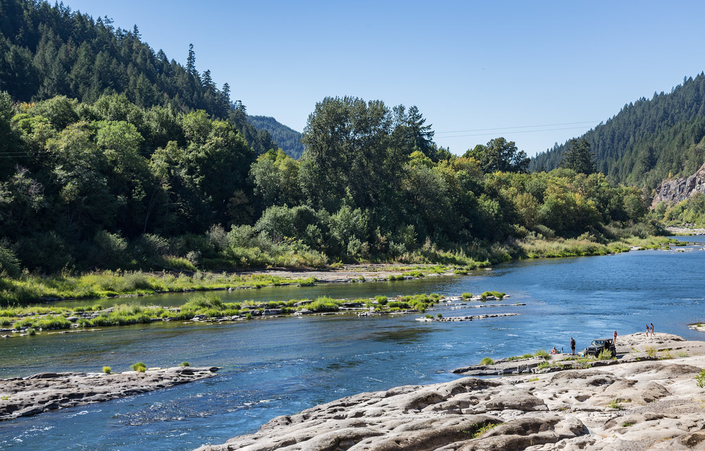 Tyee TrailHiking · ~22 min drivePhoto: Tony Webster, CC BY 2.0 (via Flickr)
 North Umpqua TrailHiking · ~25 min drivePhoto: Bonnie Moreland (free images), Public Domain Mark (via Flickr)
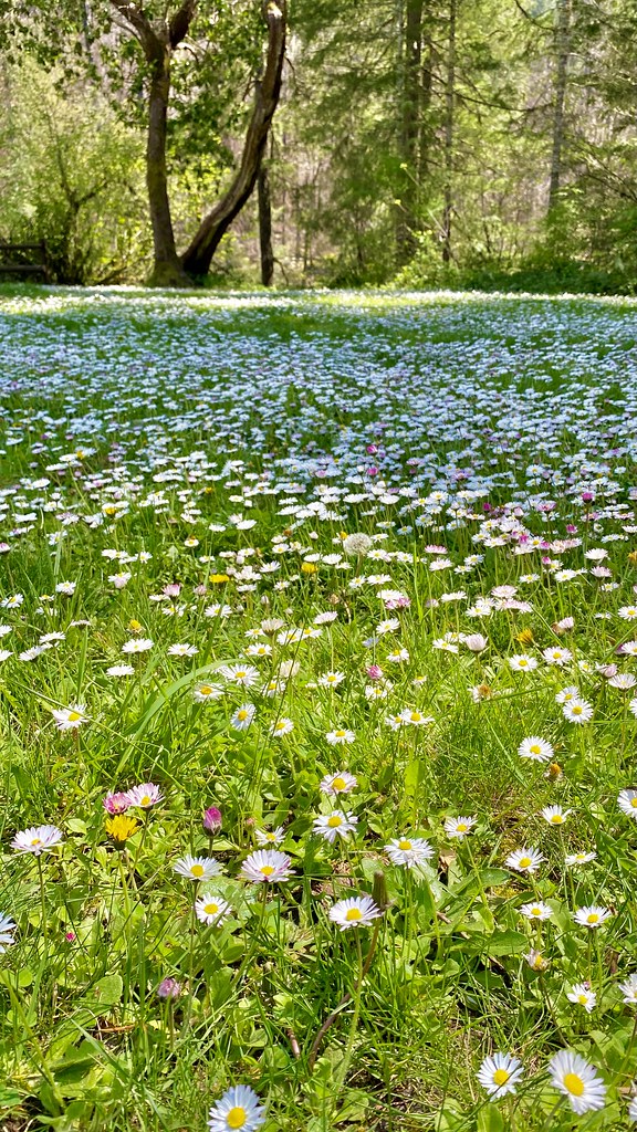 Susan Creek Falls TrailHiking · ~34 min drivePhoto: lamblukas, CC BY 2.0 (via Flickr)
 North Umpqua Trail: MottHiking · ~42 min drivePhoto: U.S. Forest Service- Pacific Northwest Region, Public domain (via Wikimedia Commons)Emerald TrailHiking · ~34 min drivePhoto: lamblukas, CC BY 2.0 (via Flickr)
Best months: May–June and September–October. Best months have typical highs of 55–85 °F, lows of 30 °F or warmer (32 °F where the station doesn't record snow), at most one snowy day and no more than 12 wet days.
Jan
50° / 35°
20 wet
Feb
54° / 35°
17 wet
Mar
59° / 37°
18 wet
Apr
64° / 40°
16 wet
May
71° / 45°
12 wet
Jun
77° / 50°
6 wet
Jul
86° / 55°
2 wet
Aug
86° / 54°
2 wet
Sep
81° / 49°
5 wet
Oct
68° / 43°
12 wet
Nov
56° / 38°
19 wet
Dec
49° / 35°
21 wet
Typical high / low (°F) and days with rain or snow, 1991–2020. Measured at Winchester, OR, 7.7 mi away at 460 ft. This station doesn't record snowfall. Source: NOAA NCEI U.S. Climate Normals 1991–2020.
Map and trail data © OpenStreetMap contributors
