Timber Valley SKP RV Park
Campground
Campground · 5.8 mi from the trail
Talburt Trail is a 2.8-mile out-and-back hike on Bureau of Land Management land in the Roseburg District Swiftwater Field Office in Oregon. The trail starts at an elevation of 1,387 feet and climbs to a high point of 1,387 feet, which makes the route a back-loaded climb with the steepest stretch at about 0.28 miles in. The total elevation gain is 1,829 feet, and the trail is rated moderate. Summer is the most comfortable time to go. Typical averages from a nearby weather station in Winchester show July and August highs around 86°F with only about two wet days a month, while winter months bring highs near 50°F and rain on most days. That station sits roughly 900 feet lower than the trail, so temperatures on the trail run cooler. The hike takes about two hours. Whistler's Overlook Trail is just 0.2 miles away, and Blacktail Ridge Trail and Middle Ridge Trail are within about a mile. Paddlers can find Sutherlin Creek about 4.7 miles off.
Timber Valley SKP RV Park
Campground
Del Rey Cafe
Restaurant
Clark Studio & Gallery
Gallery
Places © OpenStreetMap contributors
More in Myrtle CreekNot on Roamze yet. Their page has how to reach them.
Source: Roamze catalog (indexable pages within 10 miles, PostGIS distance)
 North Umpqua TrailHiking · ~19 min drivePhoto: Bonnie Moreland (free images), Public Domain Mark (via Flickr)
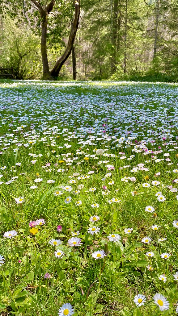 Susan Creek Falls TrailHiking · ~28 min drivePhoto: lamblukas, CC BY 2.0 (via Flickr)
 North Umpqua Trail: MottHiking · ~36 min drivePhoto: U.S. Forest Service- Pacific Northwest Region, Public domain (via Wikimedia Commons)Emerald TrailHiking · ~28 min drivePhoto: lamblukas, CC BY 2.0 (via Flickr)
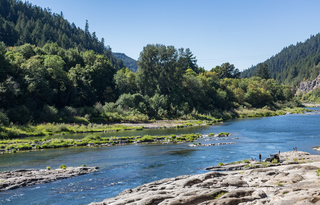 Tyee TrailHiking · ~30 min drivePhoto: Tony Webster, CC BY 2.0 (via Flickr)
Best months: May–June and September–October. Best months have typical highs of 55–85 °F, lows of 30 °F or warmer (32 °F where the station doesn't record snow), at most one snowy day and no more than 12 wet days.
Jan
50° / 35°
20 wet
Feb
54° / 35°
17 wet
Mar
59° / 37°
18 wet
Apr
64° / 40°
16 wet
May
71° / 45°
12 wet
Jun
77° / 50°
6 wet
Jul
86° / 55°
2 wet
Aug
86° / 54°
2 wet
Sep
81° / 49°
5 wet
Oct
68° / 43°
12 wet
Nov
56° / 38°
19 wet
Dec
49° / 35°
21 wet
Typical high / low (°F) and days with rain or snow, 1991–2020. Measured at Winchester, OR, 6.7 mi away at 460 ft. The station sits about 900 ft lower than this place, so expect it a little cooler here. This station doesn't record snowfall. Source: NOAA NCEI U.S. Climate Normals 1991–2020.
Map and trail data © OpenStreetMap contributors
