Amacher County Park
Campground
Campground · 6.3 mi from the trail
Champagne Creek is a 5.3-mile paddling stretch near Roseburg, Oregon, about a mile from the town of Melrose. It flows year-round, with an average flow of about 39 cubic feet per second and a gradient of about 36 feet per mile, according to USGS models. Summer is the most comfortable time to paddle. Typical averages from a nearby weather station show July and August highs around 86°F with only about two wet days a month, while winter months bring highs in the upper 40s and rain on most days. Other paddling options are close by, including Morgan Creek about 5.4 miles away and Hubbard Creek at about 8.4 miles. Climbers can find Zen Spot about 4.5 miles off and Tower of Doom at about 4.9 miles.
Amacher County Park
Campground
The Arts Center
Gallery
Places © OpenStreetMap contributors, Places © Overture Maps Foundation
More in Myrtle CreekSource: Roamze catalog (indexable pages within 10 miles, PostGIS distance)
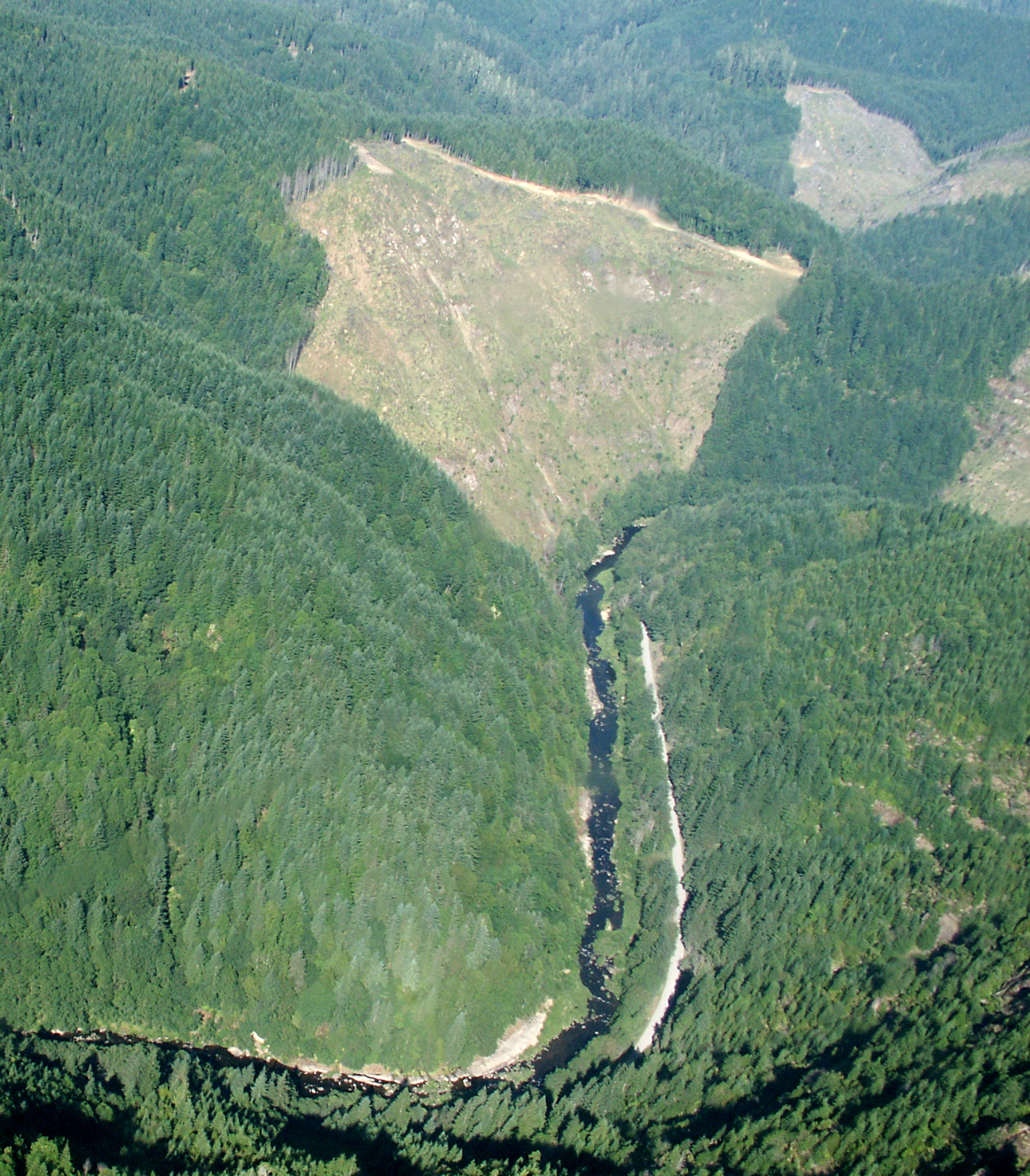 Williams RiverCanoeing · ~18 min drivePhoto: Francis Eatherington, CC BY-SA 2.0 (via Wikimedia Commons)
 Middle Fork Coquille RiverCanoeing · ~28 min drivePhoto: Finetooth, CC BY-SA 3.0 (via Wikimedia Commons)
 Sandy CreekCanoeing · ~41 min drivePhoto: Finetooth, CC BY-SA 4.0 (via Wikimedia Commons)
 North Fork Coquille RiverCanoeing · ~43 min drivePhoto: Finetooth, CC BY-SA 3.0 (via Wikimedia Commons)
Best months: May–June and September–October. Best months have typical highs of 55–85 °F, lows of 30 °F or warmer (32 °F where the station doesn't record snow), at most one snowy day and no more than 12 wet days.
Jan
50° / 37°
18 wet
Feb
54° / 38°
16 wet
Mar
59° / 40°
17 wet
Apr
63° / 42°
15 wet
May
71° / 48°
11 wet
Jun
77° / 52°
6 wet
Jul
86° / 57°
2 wet
Aug
86° / 57°
2 wet
Sep
80° / 52°
5 wet
Oct
67° / 45°
12 wet
Nov
54° / 41°
18 wet
Dec
48° / 37°
20 wet
Typical high / low (°F) and days with rain or snow, 1991–2020. Measured at Roseburg Rgnl Ap, OR, 5.6 mi away at 525 ft. This station doesn't record snowfall. Source: NOAA NCEI U.S. Climate Normals 1991–2020.
