Lewis & Clark Discovery Greenway Trail
- 1.3 mi
- round trip
- 238 ft
- climb
- 49 ft
- high point
- Out and back
- route
- Mar–Oct
- best months
The Lewis & Clark Discovery Greenway Trail is a short, easy out-and-back hike in Washington, about half a mile from the town of Washougal. The route is roughly 2.5 miles long, with a total elevation gain of 238 feet, and it reaches a high point of about 49 feet. The climb is gentle, with the steepest stretch at about 0.25 miles in, and the trail returns to its starting point at around 40 feet. Summer is the most comfortable time to go. Typical averages from a nearby weather station in Troutdale, Oregon, show July and August highs around 81°F with lows near 56°F, while winter highs sit in the mid-40s. The trip takes about an hour. The Lewis & Clark Discovery Trail lies about 0.8 miles away, and the Meadow Trail and Old Channel are both within about 1.7 miles. Paddlers can reach the Little Washougal River, about 4.3 miles off.
Local outfitters
- Beach Bandit Crab Snares16 mi away
- Wildwood Adventures16 mi away
Not on Roamze yet. Their page has how to reach them.
- Lewis & Clark Discovery TrailHiking0.8 mi
- Meadow TrailHiking1.4 mi
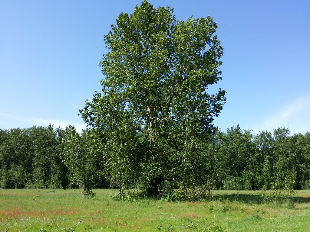 Old ChannelHikingPhoto: D&L Davis Family, CC BY 2.0 (via Flickr)1.7 mi
- (1) North FaceRock climbing2.6 mi
- (2) Hanging GardensRock climbing2.7 mi
- (3) Red WallRock climbing2.7 mi
- Little Washougal RiverCanoeing4.3 mi
- Beaver CreekCanoeing4.4 mi
Source: Roamze catalog (indexable pages within 10 miles, PostGIS distance)
 Lewis & Clark Discovery Greenway TrailHiking · ~3 min drivePhoto: mjfmjfmjf, CC BY 2.0 (via Flickr)
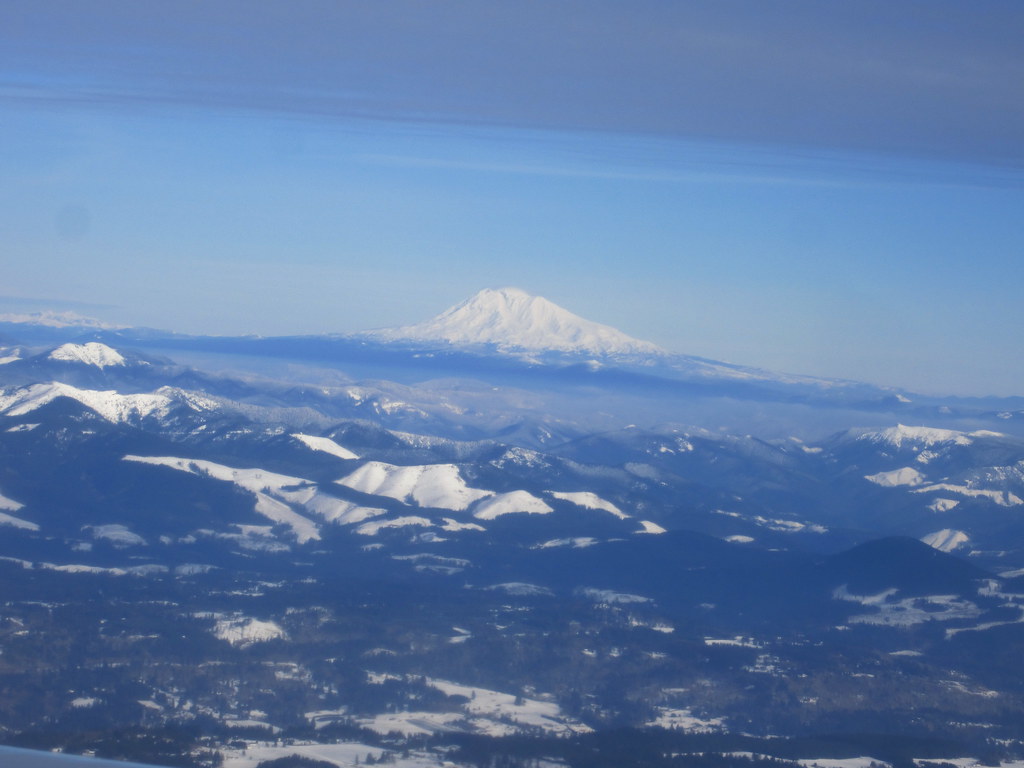 BoundaryHiking · ~4 min drivePhoto: kenner116, CC BY 2.0 (via Flickr)
- Old ChannelHiking · ~3 min drivePhoto: D&L Davis Family, CC BY 2.0 (via Flickr)
 Marine Drive TrailHiking · ~10 min drivePhoto: wyzik, CC BY 2.0 (via Flickr)
 Meadow RoadHiking · ~3 min drivePhoto: D&L Davis Family, CC BY 2.0 (via Flickr)
- Heritage TrailHiking · ~6 min drive
 MeadowHiking · ~4 min drivePhoto: Ian Poellet (User:Werewombat), CC BY-SA 3.0 (via Wikimedia Commons)
- Ranch DikeHiking · ~4 min drivePhoto: Ian Poellet (User:Werewombat), CC BY-SA 3.0 (via Wikimedia Commons)
- 1000 Acres RoadHiking · ~4 min drivePhoto: Ian Poellet (User:Werewombat), CC BY-SA 3.0 (via Wikimedia Commons)
- Lewis & Clark Trail 400Hiking · ~4 min drivePhoto: kenner116, CC BY 2.0 (via Flickr)
Best time to visit Lewis & Clark Discovery Greenway Trail
Best months: March–October. Best months have typical highs of 55–85 °F, lows of 30 °F or warmer (32 °F where the station doesn't record snow), at most one snowy day and no more than 12 wet days.
Jan
44° / 35°
Feb
49° / 37°
Mar
55° / 39°
Apr
60° / 42°
May
68° / 48°
Jun
73° / 52°
Jul
81° / 56°
Aug
81° / 56°
Sep
75° / 51°
Oct
63° / 46°
Nov
51° / 40°
Dec
45° / 36°
Typical high / low (°F) and days with rain or snow, 1991–2020. Measured at Troutdale, OR, 2.1 mi away at 33 ft. This station doesn't record snowfall. Source: NOAA NCEI U.S. Climate Normals 1991–2020.
Map and trail data © OpenStreetMap contributors
