Portland Fairview RV Park
Campground
Campground · 4.1 mi from the trail
Alert in the area
The Forest Service lists an alert for Columbia River Gorge National Scenic Area.
Eagle Creek Fire Area Closure - CRGNSA and Mt. Hood
Agency alert covering Columbia River Gorge National Scenic Area · Order 06-22-01-26-04 · USFS · Columbia River Gorge National Scenic Area
As of · Source: USFS · Columbia River Gorge National Scenic Area. Agencies don't list every closure — check before you go.
Meadow Trail is an easy, out-and-back hike of about 3.7 miles in the Columbia River Gorge National Scenic Area in Oregon, managed by the Forest Service. The trail is flat, with no elevation gain, and the steepest stretch comes at about 1.6 miles in, with a grade of about 3 percent. Summer is the warmest time to go. Typical averages from a nearby weather station in Troutdale run to highs around 81°F in July and August, while winter highs sit in the mid-40s. Old Channel is about 0.4 miles away, and Meadow Road and the Meadow hike are each about a mile off. Climbers can find (1) North Face roughly 1.4 miles away.
Portland Fairview RV Park
Campground
 If it rainsIan Poellet, CC BY-SA 4.0 · Wikimedia Commons
Places © OpenStreetMap contributors · Photos: Ian Poellet, CC BY-SA 4.0 (commons)
More in Mount Hood VillagesNot on Roamze yet. Their page has how to reach them.
Best months: March–October. Best months have typical highs of 55–85 °F, lows of 30 °F or warmer (32 °F where the station doesn't record snow), at most one snowy day and no more than 12 wet days.
Jan
44° / 35°
Feb
49° / 37°
Mar
55° / 39°
Apr
60° / 42°
May
68° / 48°
Jun
73° / 52°
Jul
81° / 56°
Aug
81° / 56°
Sep
75° / 51°
Oct
63° / 46°
Nov
51° / 40°
Dec
45° / 36°
Typical high / low (°F) and days with rain or snow, 1991–2020. Measured at Troutdale, OR, 1.4 mi away at 33 ft. This station doesn't record snowfall. Source: NOAA NCEI U.S. Climate Normals 1991–2020.
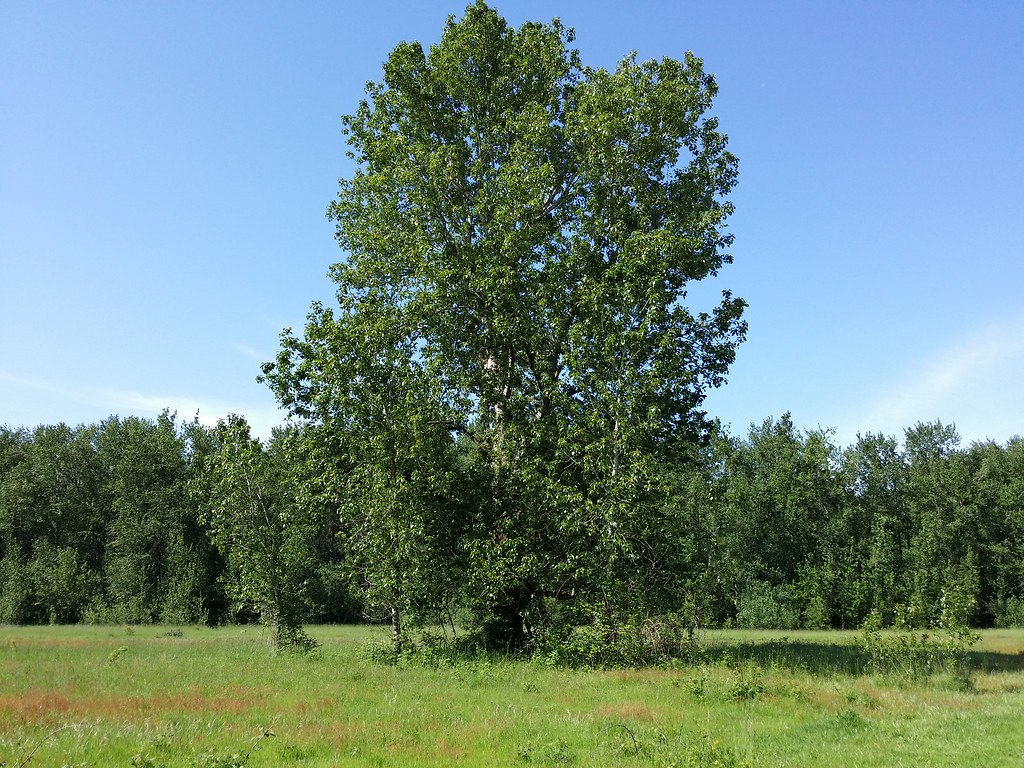 Photo: D&L Davis Family, CC BY 2.0 (via Flickr)
Old Channel
Next door
1.94-mile out-and-back trail in Oregon with 138 ft of elevation gain.
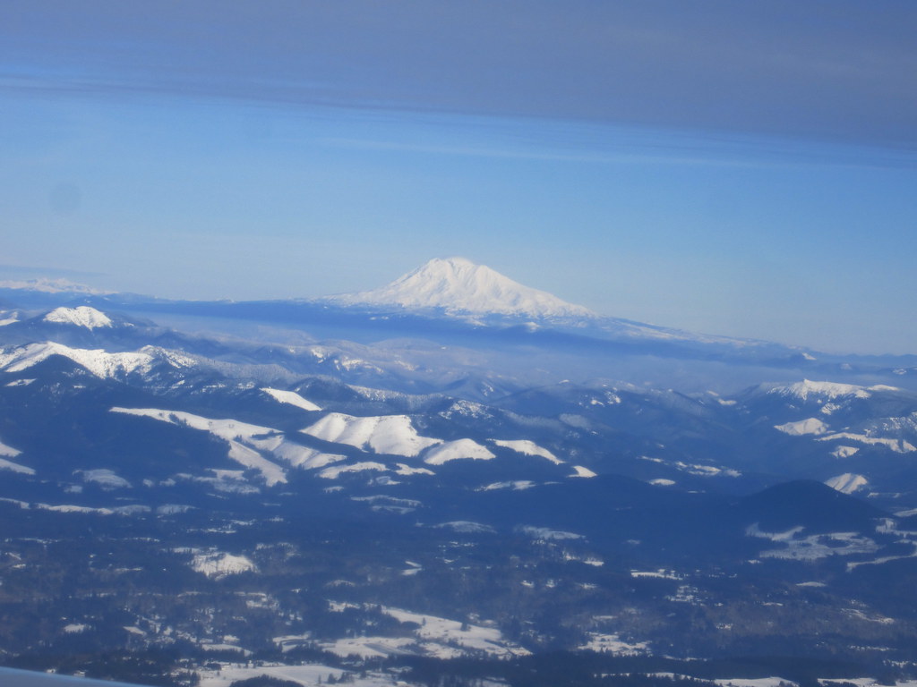 Photo: kenner116, CC BY 2.0 (via Flickr)
Boundary
~2 min drive
4.00-mile out-and-back trail in Oregon with 89 ft of elevation gain.
 Photo: D&L Davis Family, CC BY 2.0 (via Flickr)
Meadow Road
~2 min drive
1.4-mile out-and-back trail in Oregon with 36 ft of elevation gain.
 Photo: LukeDetwiler, CC BY 2.0 (via Flickr)
North Oxbow Trail
~10 min drive
2.46-mile out-and-back hike in Oregon with 1,773 ft gain
 Photo: Ian Poellet (User:Werewombat), CC BY-SA 3.0 (via Wikimedia Commons)
Meadow
~2 min drive
2.70-mile out-and-back trail in Oregon with 117 ft gain.
 Photo: mjfmjfmjf, CC BY 2.0 (via Flickr)
Oxbow Regional Park Trail
~10 min drive
Out-and-back trail through Oxbow Regional Park along the Sandy River.
Photo: kenner116, CC BY 2.0 (via Flickr)Confluence
~2 min drive
2.54-mile out-and-back trail in Oregon with 137 ft gain
 Photo: wyzik, CC BY 2.0 (via Flickr)
Marine Drive Trail
~10 min drive
Easy 3-mile out-and-back walk along Marine Drive in Oregon.
Photo: Ian Poellet (User:Werewombat), CC BY-SA 3.0 (via Wikimedia Commons)Ranch Dike
~2 min drive
1.36-mile out-and-back trail in Oregon with 170 ft gain.
HIKE
Heritage Trail
~7 min drive
2.42-mile out-and-back trail in Washington with 1,373 ft of elevation gain.
Map and trail data © OpenStreetMap contributors
