Oxbow Regional Park Campground
Campground
Campground · 3.6 mi from the trail
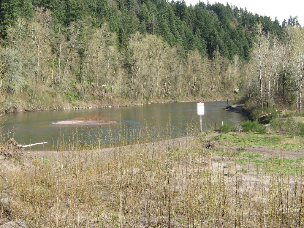 Photo: functoruser, CC BY 2.0 (via Flickr)
Sandy River Trail is a short, easy out-and-back hike in Oregon's Dabney State Recreation Area, managed by city land. The route is just under a mile long and gains about 140 feet one way, with the high point reaching 122 feet. The trail is short enough to fit into a quick visit, and the steady climb makes it a low-effort outing. Summer is the most comfortable time to go. Typical July and August highs reach about 81°F with lows near 56°F, based on averages from a nearby weather station in Troutdale. Winter is much cooler, with typical January highs around 44°F. The trail is close to several other outings. Beaver Creek, a canoeing spot, is about 1.3 miles away, and Beaver Creek Trail is about 1.4 miles off. Climbers can head to (9) Jungle Cliff at about 1.6 miles, and the Lewis & Clark Trail 400 is about 2.1 miles away.
Oxbow Regional Park Campground
Campground
 If it rainsIan Poellet, CC BY-SA 4.0 · Wikimedia Commons
Places © OpenStreetMap contributors · Photos: Ian Poellet, CC BY-SA 4.0 (commons)
More in Mount Hood VillagesNot on Roamze yet. Their page has how to reach them.
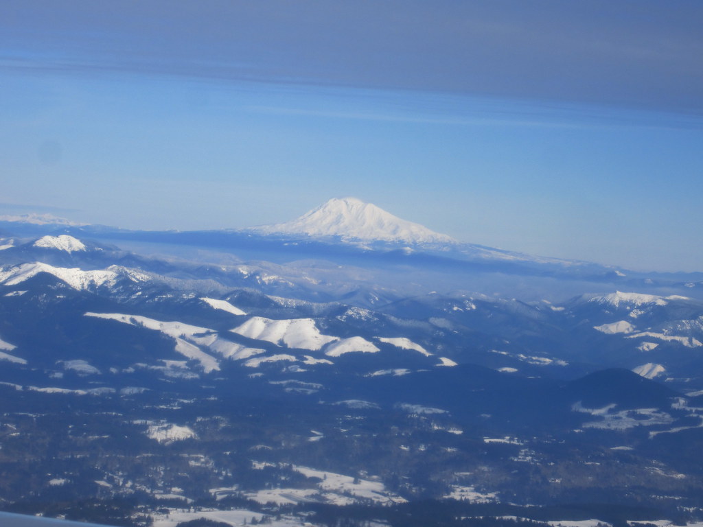 Lewis & Clark Trail 400HikingPhoto: kenner116, CC BY 2.0 (via Flickr)2.1 miBoundaryHikingPhoto: kenner116, CC BY 2.0 (via Flickr)2.2 mi
Source: Roamze catalog (indexable pages within 10 miles, PostGIS distance)
Lewis & Clark Trail 400Hiking · ~4 min drivePhoto: kenner116, CC BY 2.0 (via Flickr)BoundaryHiking · ~4 min drivePhoto: kenner116, CC BY 2.0 (via Flickr) 1000 Acres RoadHiking · ~4 min drivePhoto: Ian Poellet (User:Werewombat), CC BY-SA 3.0 (via Wikimedia Commons)
 Oxbow Regional Park TrailHiking · ~6 min drivePhoto: mjfmjfmjf, CC BY 2.0 (via Flickr)Ranch DikeHiking · ~4 min drivePhoto: Ian Poellet (User:Werewombat), CC BY-SA 3.0 (via Wikimedia Commons)
 North Oxbow TrailHiking · ~7 min drivePhoto: LukeDetwiler, CC BY 2.0 (via Flickr)
 Meadow RoadHiking · ~4 min drivePhoto: D&L Davis Family, CC BY 2.0 (via Flickr)
 Sandy River TrailHiking · ~10 min drivePhoto: Sam Beebe, CC BY 2.0 (via Flickr)
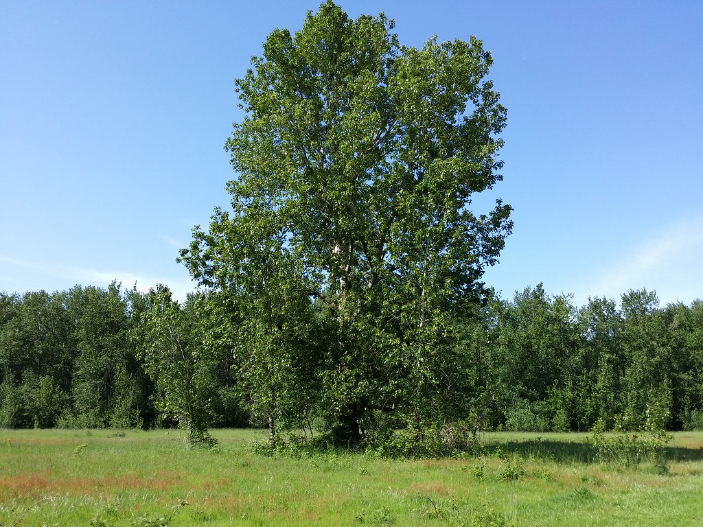 Old ChannelHiking · ~4 min drivePhoto: D&L Davis Family, CC BY 2.0 (via Flickr)
Best months: March–October. Best months have typical highs of 55–85 °F, lows of 30 °F or warmer (32 °F where the station doesn't record snow), at most one snowy day and no more than 12 wet days.
Jan
44° / 35°
Feb
49° / 37°
Mar
55° / 39°
Apr
60° / 42°
May
68° / 48°
Jun
73° / 52°
Jul
81° / 56°
Aug
81° / 56°
Sep
75° / 51°
Oct
63° / 46°
Nov
51° / 40°
Dec
45° / 36°
Typical high / low (°F) and days with rain or snow, 1991–2020. Measured at Troutdale, OR, 3 mi away at 33 ft. This station doesn't record snowfall. Source: NOAA NCEI U.S. Climate Normals 1991–2020.
Map and trail data © OpenStreetMap contributors
