Oxbow Regional Park Campground
Campground
Campground · 0.4 mi from the trail
 Photo: LukeDetwiler, CC BY 2.0 (via Flickr)
North Oxbow Trail is a 2.46-mile moderate hike on Bureau of Land Management land in Oregon's Sandy River Segment C. The trail is an out-and-back, and the round trip covers about 4.9 miles with a total elevation gain of 438 feet. The route starts at about 190 feet and climbs to a high point of 446 feet, with the steepest stretch at about 1.9 miles in, where the grade reaches 20 percent. Summer is the most comfortable time to go. Typical averages from a nearby weather station show July and August highs around 79 to 80°F, with only five or six wet days a month. Winter is much wetter, with 20 or more wet days a month from December through March. Oxbow Regional Park Trail lies about 1.2 miles away, and Sandy River Trail is about 2.5 miles off. Paddlers can head to Gordon Creek, about 3.3 miles away, and Latourell Falls Trail is about 4.1 miles away.
Oxbow Regional Park Campground
Campground
 If it rainsIan Poellet, CC BY-SA 4.0 · Wikimedia Commons
Places © OpenStreetMap contributors · Photos: Ian Poellet, CC BY-SA 4.0 (commons)
More in Mount Hood VillagesNot on Roamze yet. Their page has how to reach them.
Best months: June–September. Best months have typical highs of 55–85 °F, lows of 30 °F or warmer (32 °F where the station doesn't record snow), at most one snowy day and no more than 12 wet days.
Jan
44° / 33°
20 wet · 1 snow
Feb
48° / 33°
17 wet · 1 snow
Mar
54° / 35°
20 wet · 1 snow
Apr
59° / 38°
19 wet
May
67° / 43°
15 wet
Jun
71° / 47°
11 wet
Jul
79° / 50°
6 wet
Aug
80° / 50°
5 wet
Sep
74° / 46°
9 wet
Oct
62° / 41°
15 wet
Nov
51° / 37°
19 wet
Dec
44° / 33°
21 wet · 1 snow
Typical high / low (°F) and days with rain or snow, 1991–2020. Measured at Skamania Fish Hatchery, WA, 9 mi away at 435 ft. Source: NOAA NCEI U.S. Climate Normals 1991–2020.
 Photo: mjfmjfmjf, CC BY 2.0 (via Flickr)
Oxbow Regional Park Trail
~2 min drive
Out-and-back trail through Oxbow Regional Park along the Sandy River.
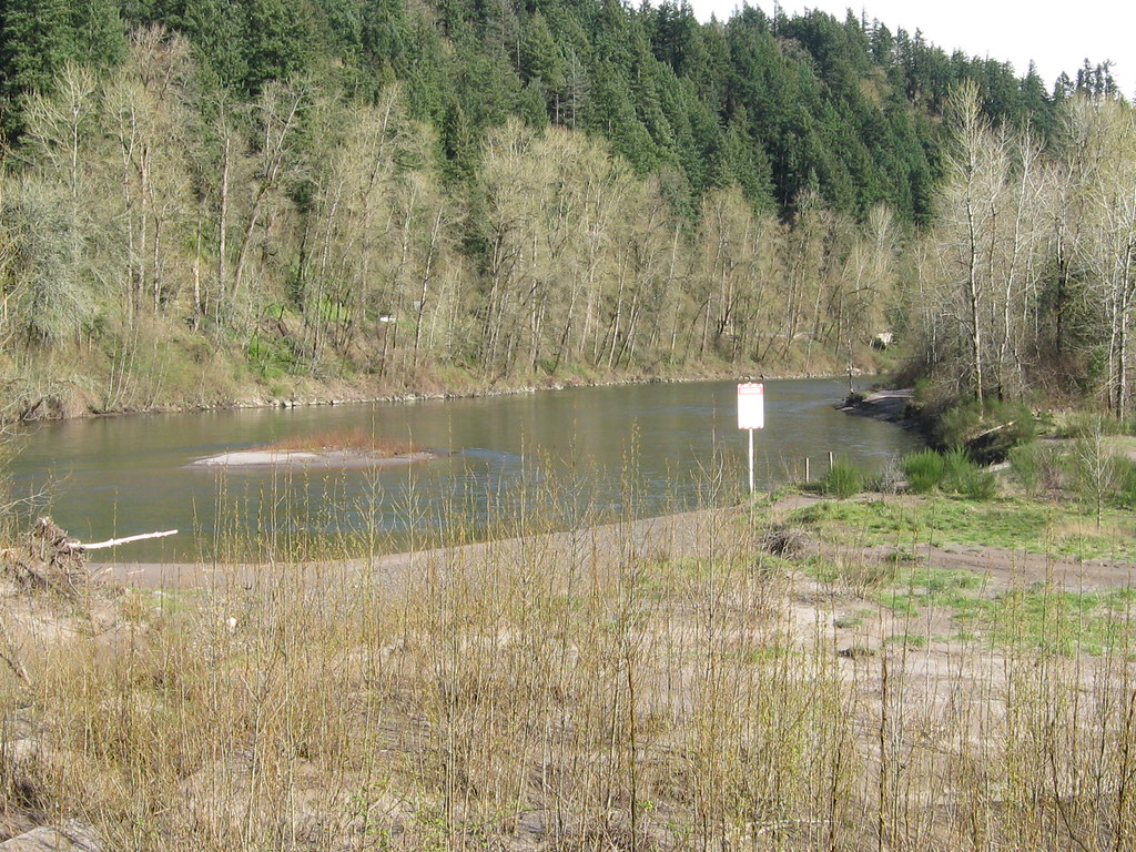 Photo: functoruser, CC BY 2.0 (via Flickr)
Sandy River Trail
~7 min drive
0.68-mile out-and-back trail in Oregon with 270 ft elevation gain
 Photo: John Murphy, CC BY-SA 2.0 (via Wikimedia Commons)
Gorge
~12 min drive
22-mile out-and-back trail in Oregon with 3,714 ft gain
 Photo: Sam Beebe, CC BY 2.0 (via Flickr)
Sandy River Trail
~4 min drive
3.58-mile out-and-back hike in Oregon with 1,138 ft elevation gain.
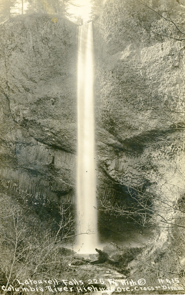 Photo: waterarchives, CC BY-SA 2.0 (via Flickr)
Latourell Falls Trail
~7 min drive
1.99-mile loop with 1,058 ft gain and 1,124 ft loss in Oregon.
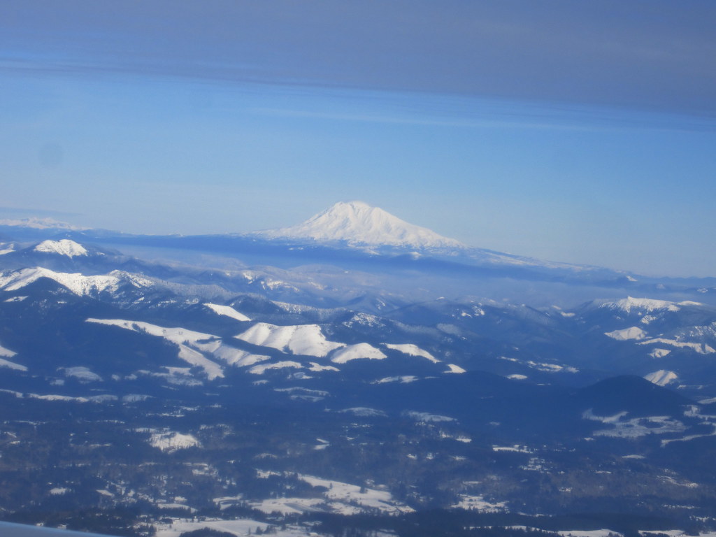 Photo: kenner116, CC BY 2.0 (via Flickr)
Boundary
~10 min drive
4.00-mile out-and-back trail in Oregon with 89 ft of elevation gain.
 Photo: msprague, CC BY-SA 2.0 (via Flickr)
Lagoon Trail
~7 min drive
1.24-mile out-and-back hike in Oregon with 205 ft of elevation gain.
 Photo: brx0 from Portland, USA, CC BY-SA 2.0 (via Wikimedia Commons)
Loop Trail
~11 min drive
4.04-mile out-and-back trail in Oregon with 1,455 ft elevation gain/loss
Photo: msprague, CC BY-SA 2.0 (via Flickr)High Water Trail
~8 min drive
2.16-mile out-and-back hike in Oregon with 279 ft gain/loss.
HIKE
Pepper Mountain Trail
~9 min drive
2.58-mile out-and-back trail in Oregon with 1,133 ft elevation gain
Map and trail data © OpenStreetMap contributors

