Oxbow Regional Park Campground
Campground
Campground · 4.5 mi from the trail
Closure in the area
There's a closure order in Columbia River Gorge National Scenic Area. It doesn't name Refuge River Trail, so check the source for the area it covers.
Eagle Creek Area and Trail Closure
Agency closure covering Columbia River Gorge National Scenic Area · Order 06-22-01-26-04 · USFS · Columbia River Gorge National Scenic Area
Eagle Creek Fire Area Closure - CRGNSA and Mt. Hood
Agency alert covering Columbia River Gorge National Scenic Area · Order 06-22-01-26-04 · USFS · Columbia River Gorge National Scenic Area
As of · Source: USFS · Columbia River Gorge National Scenic Area. Agencies don't list every closure — check before you go.
Refuge River Trail is a short, easy out-and-back hike in Oregon's Columbia River Gorge National Scenic Area, within Steigerwald Lake National Wildlife Refuge. The U.S. Fish and Wildlife Service manages the land, and the trail is about 0.4 miles long, with a total elevation gain of about 150 feet. The route starts at about 26 feet and reaches a high point of about 59 feet, with the steepest stretch at about 0.25 miles in. Summer is the warmest time to go. Typical averages from a nearby weather station in Troutdale run to highs around 81°F in July and August, while winter highs sit in the mid-40s. The trail makes an easy pairing with Gibbons Creek Wildlife Art Trail, about 0.1 mile away, and the Lewis & Clark Discovery Greenway Trail, about 0.3 mile away. Mountain view trail is about 1.1 mile off, and climbers can find Broughton Bluff about 3.8 miles away.
Oxbow Regional Park Campground
Campground
 If it rainsIan Poellet, CC BY-SA 4.0 · Wikimedia Commons
Places © OpenStreetMap contributors · Photos: Ian Poellet, CC BY-SA 4.0 (commons)
More in Mount Hood VillagesNot on Roamze yet. Their page has how to reach them.
Source: Roamze catalog (indexable pages within 10 miles, PostGIS distance)
 Lewis & Clark Discovery Greenway TrailHiking · ~3 min drivePhoto: mjfmjfmjf, CC BY 2.0 (via Flickr)
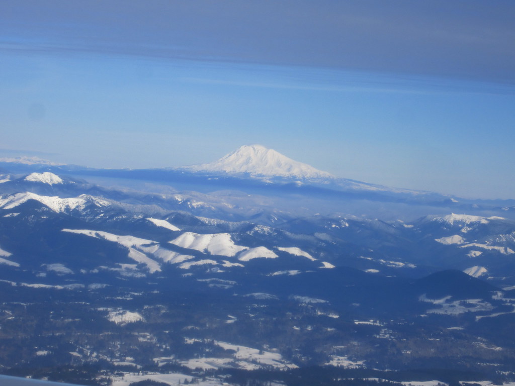 BoundaryHiking · ~6 min drivePhoto: kenner116, CC BY 2.0 (via Flickr)
 Angels RestHiking · ~11 min drivePhoto: John Murphy, CC BY-SA 2.0 (via Wikimedia Commons)
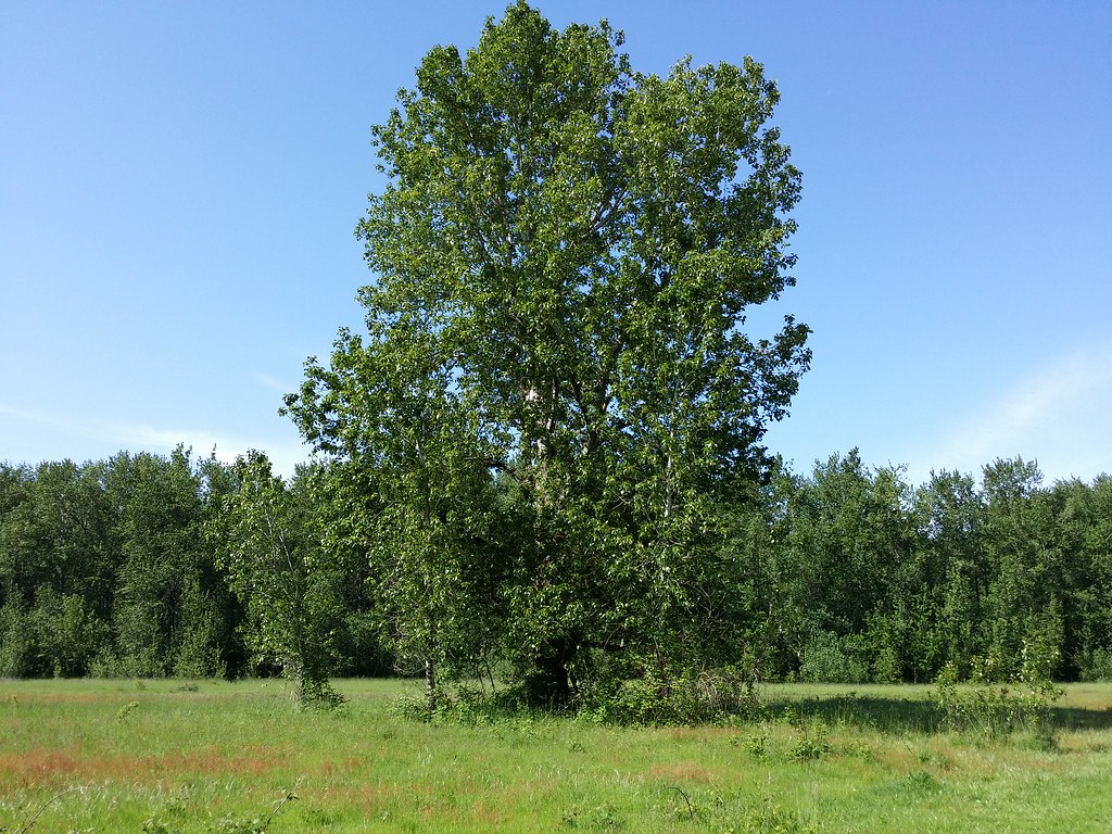 Old ChannelHiking · ~5 min drivePhoto: D&L Davis Family, CC BY 2.0 (via Flickr)
 North Oxbow TrailHiking · ~8 min drivePhoto: LukeDetwiler, CC BY 2.0 (via Flickr)GorgeHiking · ~11 min drivePhoto: John Murphy, CC BY-SA 2.0 (via Wikimedia Commons)
 Forest Loop TrailHiking · ~6 min drivePhoto: msprague, CC BY-SA 2.0 (via Flickr)
 Oxbow Regional Park TrailHiking · ~9 min drivePhoto: mjfmjfmjf, CC BY 2.0 (via Flickr)
 Ranch DikeHiking · ~6 min drivePhoto: Ian Poellet (User:Werewombat), CC BY-SA 3.0 (via Wikimedia Commons)
Best months: March–October. Best months have typical highs of 55–85 °F, lows of 30 °F or warmer (32 °F where the station doesn't record snow), at most one snowy day and no more than 12 wet days.
Jan
44° / 35°
Feb
49° / 37°
Mar
55° / 39°
Apr
60° / 42°
May
68° / 48°
Jun
73° / 52°
Jul
81° / 56°
Aug
81° / 56°
Sep
75° / 51°
Oct
63° / 46°
Nov
51° / 40°
Dec
45° / 36°
Typical high / low (°F) and days with rain or snow, 1991–2020. Measured at Troutdale, OR, 4.2 mi away at 33 ft. This station doesn't record snowfall. Source: NOAA NCEI U.S. Climate Normals 1991–2020.
Map and trail data © OpenStreetMap contributors

