Oxbow Regional Park Campground
Campground
Campground · 3.0 mi from the trail
 Photo: Unknown authorUnknown author or not provided, Public domain (via Wikimedia Commons)
Closure in the area
There's a closure order in Columbia River Gorge National Scenic Area. It doesn't name Chanticleer Point, so check the source for the area it covers.
Eagle Creek Area and Trail Closure
Agency closure covering Columbia River Gorge National Scenic Area · Order 06-22-01-26-04 · USFS · Columbia River Gorge National Scenic Area
Eagle Creek Fire Area Closure - CRGNSA and Mt. Hood
Agency alert covering Columbia River Gorge National Scenic Area · Order 06-22-01-26-04 · USFS · Columbia River Gorge National Scenic Area
As of · Source: USFS · Columbia River Gorge National Scenic Area. Agencies don't list every closure — check before you go.
Chanticleer Point is a summit of 737 feet in Oregon's Columbia River Gorge National Scenic Area, about 5 miles from the town of Washougal, Washington, across the river. Summer is the most comfortable time to visit. Typical averages from a nearby weather station show July and August highs around 77 to 78°F with only five or six wet days a month, while winter months bring highs in the mid-40s and rain on most days. Several trails start close by. The Forest Loop Trail and Bluff Trail are each about 1.9 miles away, and the Lagoon Trail is about 2 miles off. Climbers can find the Stratosphere climbing area about 3 miles away.
Oxbow Regional Park Campground
Campground
 If it rainsIan Poellet, CC BY-SA 4.0 · Wikimedia Commons
Places © OpenStreetMap contributors · Photos: Ian Poellet, CC BY-SA 4.0 (commons)
More in Mount Hood VillagesDaily highs and lows, wind and the chance of precipitation at the summit for the next 7 days, from the Open-Meteo model.
Elevation from USGS 3D Elevation Program terrain data (about 10 m resolution).
We don't know of a mapped trail or route to the summit of Chanticleer Point. Plan the approach with local maps, a guidebook or a local guide, and check conditions before you go.
737 ft (225 m).
We don't know of a mapped trail or route to the summit. Plan the approach with local maps, a guidebook or a local guide.

 Forest Loop TrailHikingPhoto: msprague, CC BY-SA 2.0 (via Flickr)1.9 miLagoon TrailHikingPhoto: msprague, CC BY-SA 2.0 (via Flickr)2 mi
Source: Roamze catalog (indexable pages within 10 miles, PostGIS distance)
Powell ButteSummit · ~21 min drivePhoto: Ennetws, Public domain (via Wikimedia Commons) Rocky ButteSummit · ~25 min drivePhoto: Lyn Topinka of USGS, Public domain (via Wikimedia Commons)
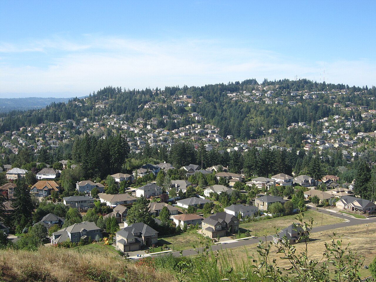 Mount ScottSummit · ~26 min drivePhoto: Esprqii, CC BY-SA 3.0 (via Wikimedia Commons)
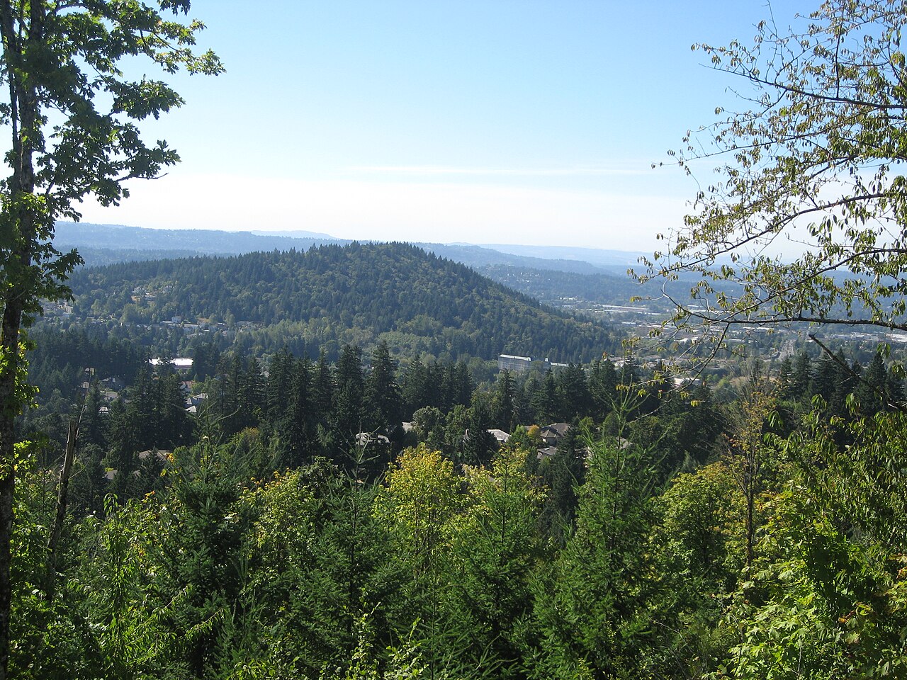 Mount TalbertSummit · ~27 min drivePhoto: Esprqii, CC BY-SA 3.0 (via Wikimedia Commons)
 Greenleaf PeakSummit · ~32 min drivePhoto: Walter Siegmund (talk), CC BY-SA 3.0 (via Wikimedia Commons)
 Mount SylvaniaSummit · ~40 min drivePhoto: M.O. Stevens, Public domain (via Wikimedia Commons)
 Zigzag MountainSummit · ~42 min drivePhoto: U.S. Forest Service- Pacific Northwest Region, Public domain (via Wikimedia Commons)
 Table MountainSummit · ~30 min drivePhoto: Walter Siegmund (talk), CC BY-SA 3.0 (via Wikimedia Commons)
Best months: June–September. Best months have typical highs of 55–85 °F, lows of 30 °F or warmer (32 °F where the station doesn't record snow), at most one snowy day and no more than 12 wet days.
Jan
44° / 35°
22 wet
Feb
47° / 36°
19 wet
Mar
52° / 37°
21 wet
Apr
57° / 40°
20 wet
May
64° / 46°
16 wet
Jun
69° / 50°
12 wet
Jul
77° / 54°
6 wet
Aug
78° / 54°
5 wet
Sep
72° / 51°
9 wet
Oct
60° / 45°
16 wet
Nov
49° / 40°
21 wet
Dec
43° / 35°
23 wet
Typical high / low (°F) and days with rain or snow, 1991–2020. Measured at Headworks Portland Wtr B, OR, 8.2 mi away at 748 ft. This station doesn't record snowfall. Source: NOAA NCEI U.S. Climate Normals 1991–2020.

