Sno-bird
Campground
Campground · 3.7 mi from the trail
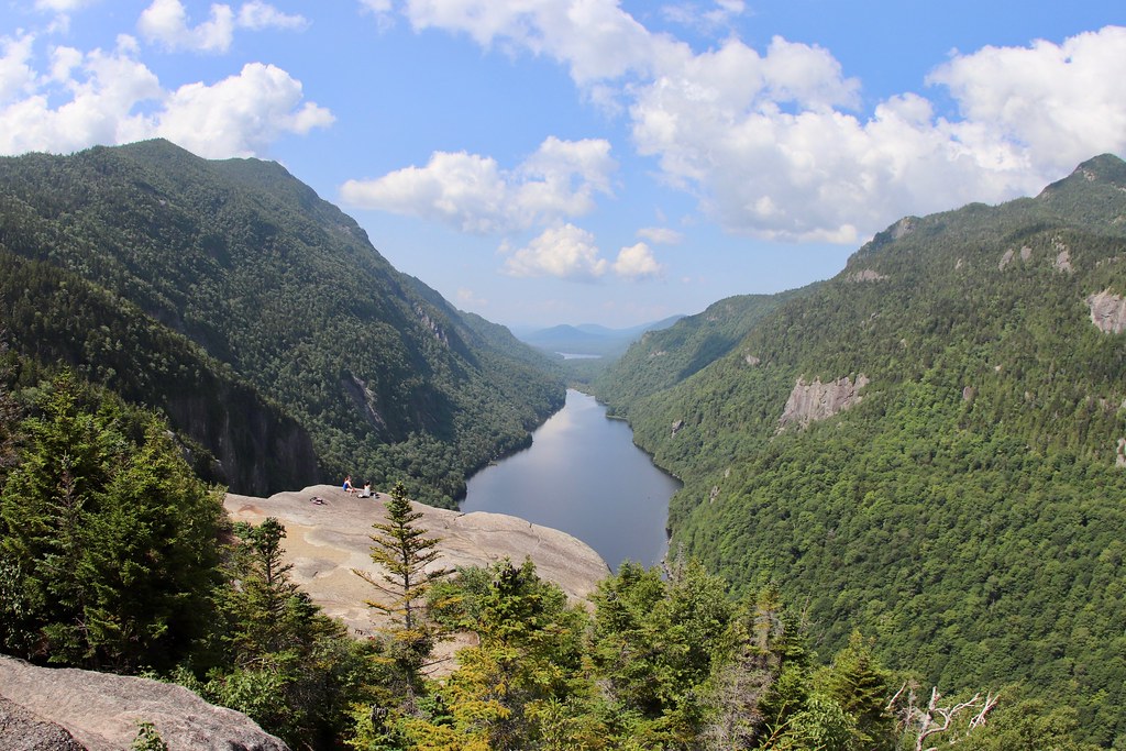 Photo: daveynin, CC BY 2.0 (via Flickr)
Elk Pass Trail is a 1.2-mile point-to-point hike in New York's High Peaks Wilderness, managed by the State Department of Conservation. The route rises from about 3,189 feet to 4,514 feet, a climb of 1,392 feet, and is rated moderate. The steepest stretch comes at about 0.86 miles in, where the grade reaches 48 percent. The trail starts at a lower point of about 3,122 feet and ends at the high point of 4,514 feet. The climb is rolling, with a total descent of 249 feet along the way. Bikes and horses are not allowed. The Colvin Range Trail lies just 0.1 mile away, and the Fish Hawk Cliffs Trail and Indian Head Trail are each about 0.7 mile off. Climbers can head to Pyramid Peak, roughly 2.1 miles away.
Sno-bird
Campground
Schroon Lake view
Viewpoint
Places © OpenStreetMap contributors
More in Schroon LakeNot on Roamze yet. Their page has how to reach them.
Colvin Range TrailHikingPhoto: daveynin, CC BY 2.0 (via Flickr)0.1 mi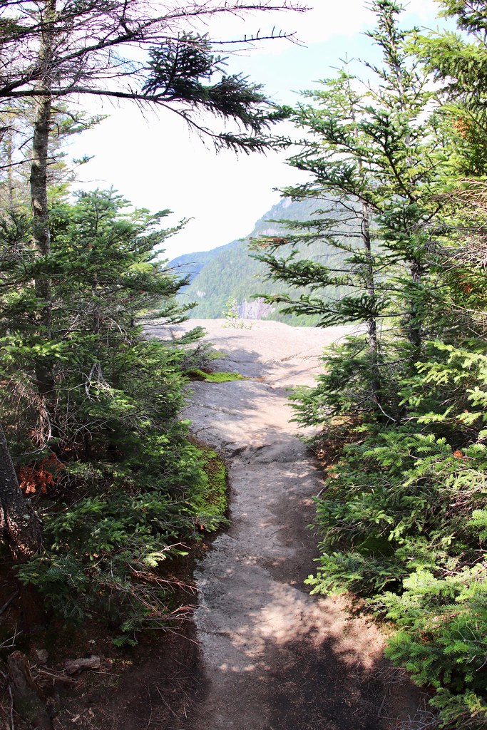 Fish Hawk Cliffs TrailHikingPhoto: daveynin, CC BY 2.0 (via Flickr)0.7 miIndian Head TrailHikingPhoto: daveynin — CC BY 2.0 (via Flickr)0.7 mi
Source: Roamze catalog (indexable pages within 10 miles, PostGIS distance)
Fish Hawk Cliffs TrailHiking · ~1 min drivePhoto: daveynin, CC BY 2.0 (via Flickr)Indian Head Crossover TrailHiking · ~1 min drivePhoto: daveynin, CC BY 2.0 (via Flickr) S. Burns Weston TrailHiking · ~7 min drivePhoto: Fil.Al, CC BY 2.0 (via Flickr)
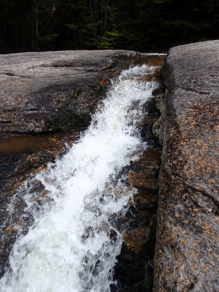 State Range TrailHiking · ~6 min drivePhoto: drsmith7383, CC BY 2.0 (via Flickr)Indian Head TrailHiking · ~1 min drivePhoto: daveynin — CC BY 2.0 (via Flickr)
 Gill Brook TrailHiking · ~2 min drivePhoto: daveynin, CC BY 2.0 (via Flickr)
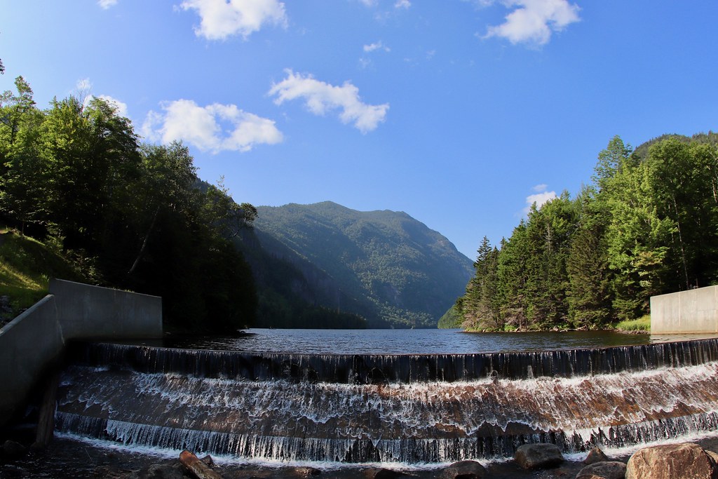 Sawteeth Scenic TrailHiking · ~2 min drivePhoto: daveynin, CC BY 2.0 (via Flickr)Gill Brook Cutoff TrailHiking · ~2 min drivePhoto: daveynin, CC BY 2.0 (via Flickr)Lost Lookout TrailHiking · ~2 min drivePhoto: daveynin, CC BY 2.0 (via Flickr)
Map and trail data © OpenStreetMap contributors


