Sno-bird
Campground
Campground · 1.2 mi from the trail
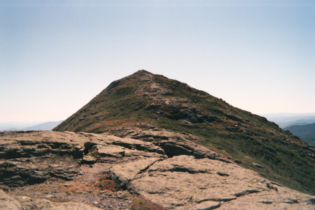
South Haystack Trail is a short, steep hike in New York's High Peaks Wilderness, managed by the State Department of Conservation. The trail is 0.57 miles long, and it rises from about 3,785 feet to 4,940 feet, a gain of 1,139 feet. The climb is steady, with the steepest stretch at the start, where the grade reaches about 52 percent. The route is a point-to-point, so it has no return leg to add to the total gain. The trail is rated hard, and it is not open to bikes or horses. Plan on about an hour for the trip, and expect the high point to be the most demanding part of the route. Bartlett Ridge Trail starts just 0.1 mile away, and Haystack Trail is about half a mile off. Haystack Brook Trail and the Panther Gorge climbing area are each about a mile away.
Sno-bird
Campground
Schroon Lake view
Viewpoint
Places © OpenStreetMap contributors
More in Schroon LakeNot on Roamze yet. Their page has how to reach them.
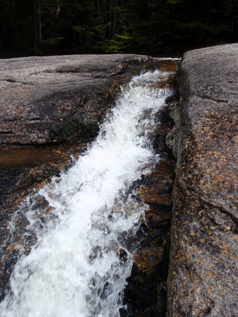 Photo: drsmith7383, CC BY 2.0 (via Flickr)
Haystack Trail
Next door
0.48-mile point-to-point trail in New York with 7 ft elevation gain.
Photo: drsmith7383, CC BY 2.0 (via Flickr)State Range Trail
~2 min drive
2.78-mile point-to-point hike in New York with 2,402 ft of elevation gain.
 Photo: A. Drauglis, CC BY-SA 2.0 (via Flickr)
Skylight Trail
~2 min drive
0.47-mile point-to-point trail in New York with 521 ft elevation loss
Photo: A. Drauglis, CC BY-SA 2.0 (via Flickr)Elk Lake - Marcy Trail
~2 min drive
9.77-mile point-to-point trail in New York with 1,168 ft gain.
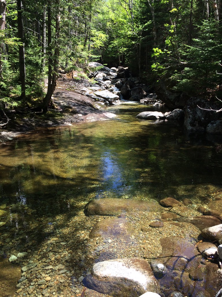 Photo: seabamirum, CC BY 2.0 (via Flickr)
Tabletop Mountain Trail
~5 min drive
0.70-mile point-to-point trail in New York with 784 ft elevation gain.
Photo: drsmith7383, CC BY 2.0 (via Flickr)Shorey Short Cut Trail
~3 min drive
0.88-mile point-to-point trail in New York with 1000 ft elevation gain.
Photo: A. Drauglis, CC BY-SA 2.0 (via Flickr)Gray Peak Trail
~3 min drive
Gray Peak Trail is a 0.36-mile point-to-point trail in New York with 446 ft of elevation gain.
Photo: seabamirum, CC BY 2.0 (via Flickr)Phelps Mountain Trail
~7 min drive
1.02-mile point-to-point hike in New York with 1,243 ft of elevation gain.
 Photo: jbylund, CC BY-SA 2.0 (via Flickr)
L. Morgan Porter Trail
~5 min drive
1.17-mile point-to-point trail in New York with 1,065 ft elevation gain.
 Photo: daveynin, CC BY 2.0 (via Flickr)
Sawteeth Trail
~5 min drive
0.41-mile point-to-point trail in New York with 466 ft elevation gain
About 0.6 mi.
About 1,139 ft of climbing round trip.
It is rated hard.
About 1 hour round trip.
2: Haystack Trail and South Haystack Trail.
Daily highs and lows, wind and the chance of precipitation at the summit and route start for the next 7 days, from the Open-Meteo model.
Map and trail data © OpenStreetMap contributors