Sno-bird
Campground
Campground · 3.7 mi from the trail
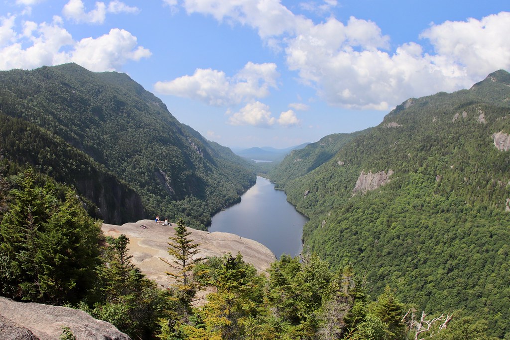 Photo: daveynin, CC BY 2.0 (via Flickr)
Colvin Range Trail is a 5.7-mile hike in New York's High Peaks Wilderness, managed by the State Department of Conservation. The trail is rated moderate, and the climb is front-loaded, with a total one-way gain of 3,060 feet from a starting elevation of about 3,189 feet to a high point of 4,067 feet. The route is a point-to-point trail, and it is not open to bikes or horses. Elk Pass Trail starts just 0.1 mile away, and Fish Hawk Cliffs Trail and Indian Head Trail are each about 0.7 mile off. Climbers can find Pyramid Peak roughly 2.1 miles away.
Sno-bird
Campground
Schroon Lake view
Viewpoint
Places © OpenStreetMap contributors
More in Schroon LakeNot on Roamze yet. Their page has how to reach them.
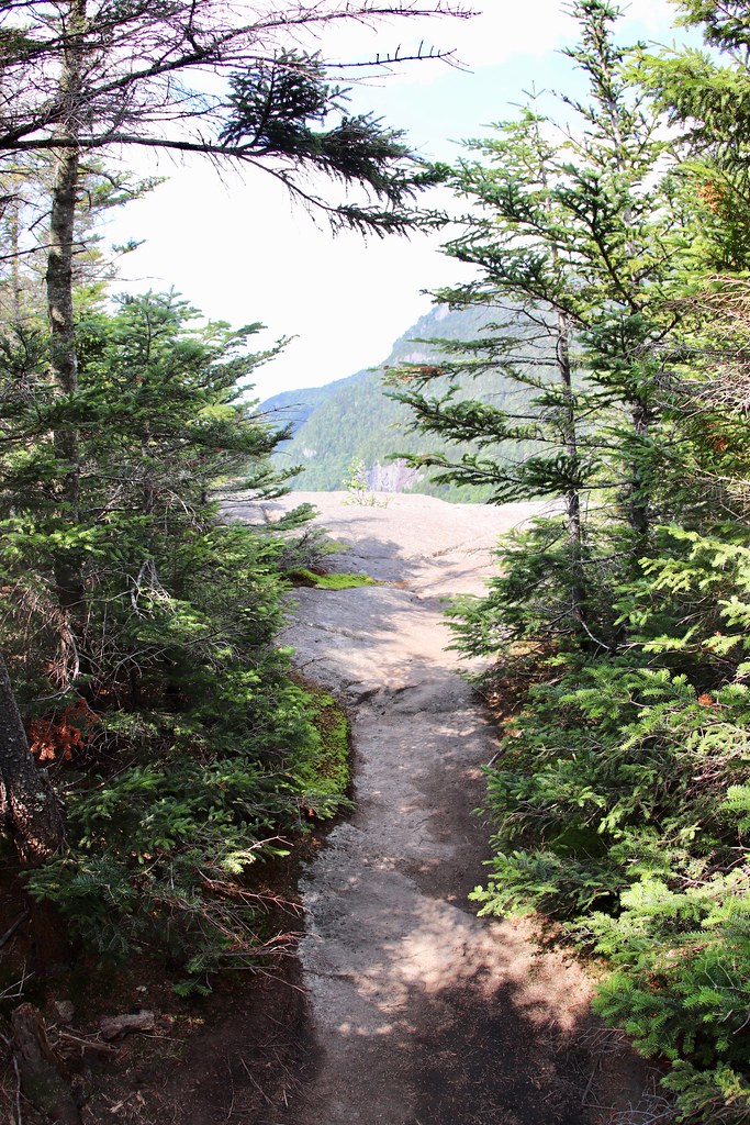 Photo: daveynin — CC BY 2.0 (via Flickr)
Indian Head Trail
~1 min drive
Indian Head Trail is a 0.71-mile point-to-point trail in New York with 375 ft gain.
Photo: daveynin, CC BY 2.0 (via Flickr)Indian Head Crossover Trail
~1 min drive
0.65-mile point-to-point trail in New York with 110 ft gain and 516 ft loss
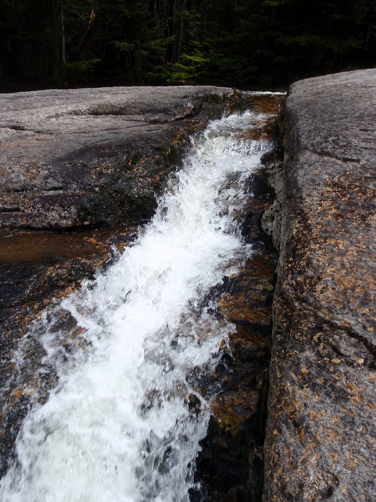 Photo: drsmith7383, CC BY 2.0 (via Flickr)
State Range Trail
~6 min drive
2.78-mile point-to-point hike in New York with 2,402 ft of elevation gain.
 Photo: Fil.Al, CC BY 2.0 (via Flickr)
S. Burns Weston Trail
~7 min drive
A 2.54-mile point-to-point trail offering accessible hiking through New York terrain.
Photo: daveynin, CC BY 2.0 (via Flickr)Fish Hawk Cliffs Trail
~1 min drive
0.61-mile point-to-point trail in New York with 210 ft gain.
 Photo: daveynin, CC BY 2.0 (via Flickr)
Gill Brook Trail
~2 min drive
2.24-mile point-to-point trail in New York with 960 ft gain
HIKE
South Haystack Trail
~7 min drive
0.57-mile point-to-point trail in New York with 1,253 ft gain.
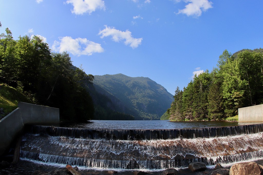 Photo: daveynin, CC BY 2.0 (via Flickr)
Sawteeth Scenic Trail
~2 min drive
2.42-mile point-to-point trail in New York with 3,035 ft gain
Photo: daveynin, CC BY 2.0 (via Flickr)Gill Brook Cutoff Trail
~2 min drive
0.42-mile point-to-point trail in New York with 16 ft gain and 290 ft loss.
Photo: daveynin, CC BY 2.0 (via Flickr)Lost Lookout Trail
~2 min drive
1.24-mile point-to-point trail in New York with 751 ft gain
About 5.7 mi.
About 3,060 ft of climbing round trip.
It is rated moderate.
About 3 hours round trip.
Daily highs and lows, wind and the chance of precipitation at the summit and route start for the next 7 days, from the Open-Meteo model.
Map and trail data © OpenStreetMap contributors

