Summit Trail
- 17.6 mi
- round trip
- 10,296 ft
- climb
- 8,039 ft
- high point
- Out and back
- route
Is Summit Trail open right now?
Closure in the area
There's a closure order in Humboldt-Toiyabe National Forest. It doesn't name Summit Trail, so check the source for the area it covers.
Elephant Fire Closure
Agency closure covering Humboldt-Toiyabe National Forest · Order 04-17-26-01-04 · USFS · Humboldt-Toiyabe National Forest
Area, Road, and Trail Closures (Spring Mountains National Recreation Area)
Agency alert covering Humboldt-Toiyabe National Forest · Order 04-17-25-04 · USFS · Humboldt-Toiyabe National Forest
Year-Round Fire Restrictions (Spring Mountains National Recreation Area)
Agency alert covering Humboldt-Toiyabe National Forest · Order 04-17-24-01 · USFS · Humboldt-Toiyabe National Forest
Vehicle Snow Chain Requirements during Inclement Weather (Spring Mountains National Recreation Area)
Agency alert covering Humboldt-Toiyabe National Forest · Order 04-17-23-01 · USFS · Humboldt-Toiyabe National Forest
Rainbow Canyon Flood Diversion Structure Closure (Spring Mountains National Recreation Area)
Agency alert covering Humboldt-Toiyabe National Forest · Order 04-17-15-01 · USFS · Humboldt-Toiyabe National Forest
As of · Source: USFS · Humboldt-Toiyabe National Forest. Agencies don't list every closure — check before you go.
Summit Trail is an expert-level out-and-back hike in the Santa Rosa-Paradise Peak Wilderness, part of the Santa Rosa Ranger District of Humboldt-Toiyabe National Forest in Nevada. The Forest Service manages the land, and the trail starts at about 6,888 feet, rising to a high point of 8,039 feet. The route is 35 miles long, with a total climb of about 10,300 feet. That makes it a full-day or two-day trip, and the steady ascent and descent mean planning for a long, sustained effort. Singas Creek Trail lies just 0.1 mile away, and Hanson Creek, Abel Creek and Lamance Creek Trail are all within about 2.6 miles.
- Singas Creek TrailHiking0.1 mi
- Hanson CreekHiking2.2 mi
- Abel CreekHiking2.4 mi
- Lamance Creek TrailHiking2.6 mi
- Stone House Creek TrailHiking3.3 mi
- Little Cottonwood CreekHiking3.7 mi
- Falls CanyonHiking4.4 mi
- Big Cottonwood CreekCanoeing7.9 mi
Source: Roamze catalog (indexable pages within 10 miles, PostGIS distance)
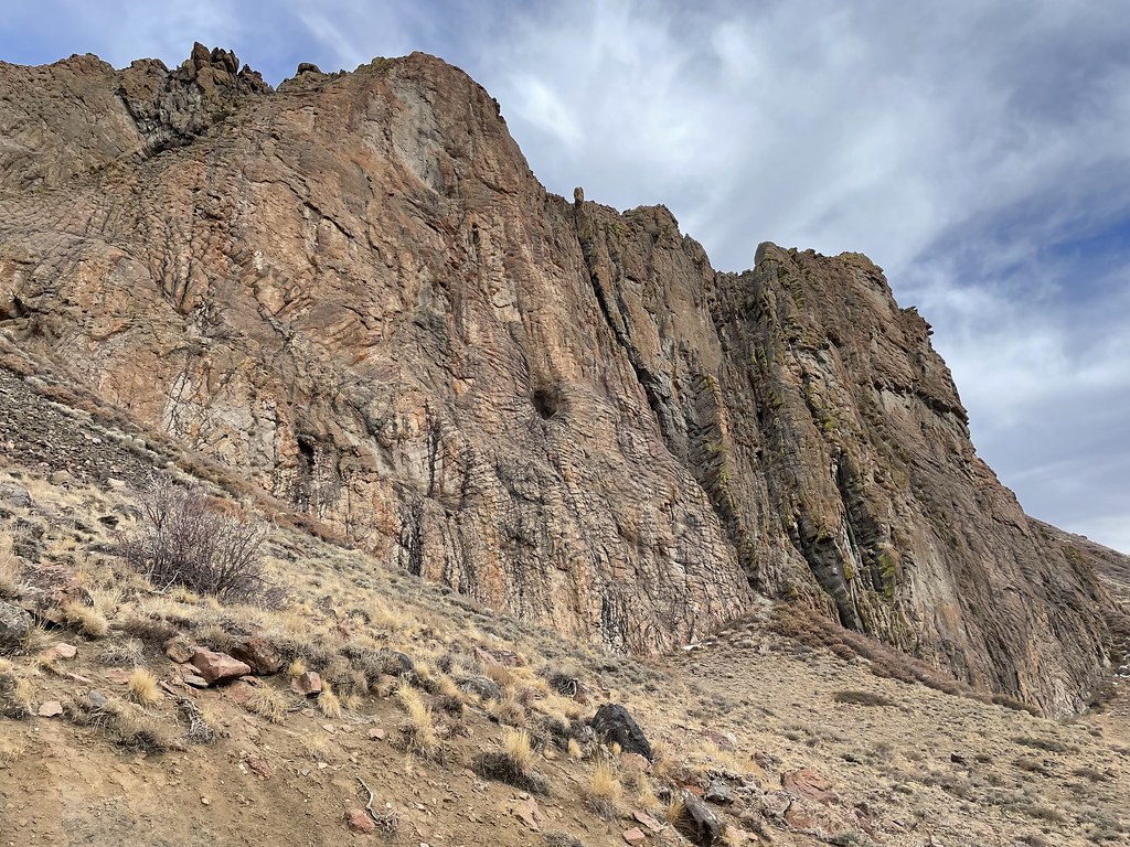 Slick RockHiking · ~24 min drivePhoto: Seth Tisue, CC BY-SA 2.0 (via Flickr)
 Pole Line TrailHiking · ~58 min drivePhoto: Matt Lavin, CC BY-SA 2.0 (via Flickr)
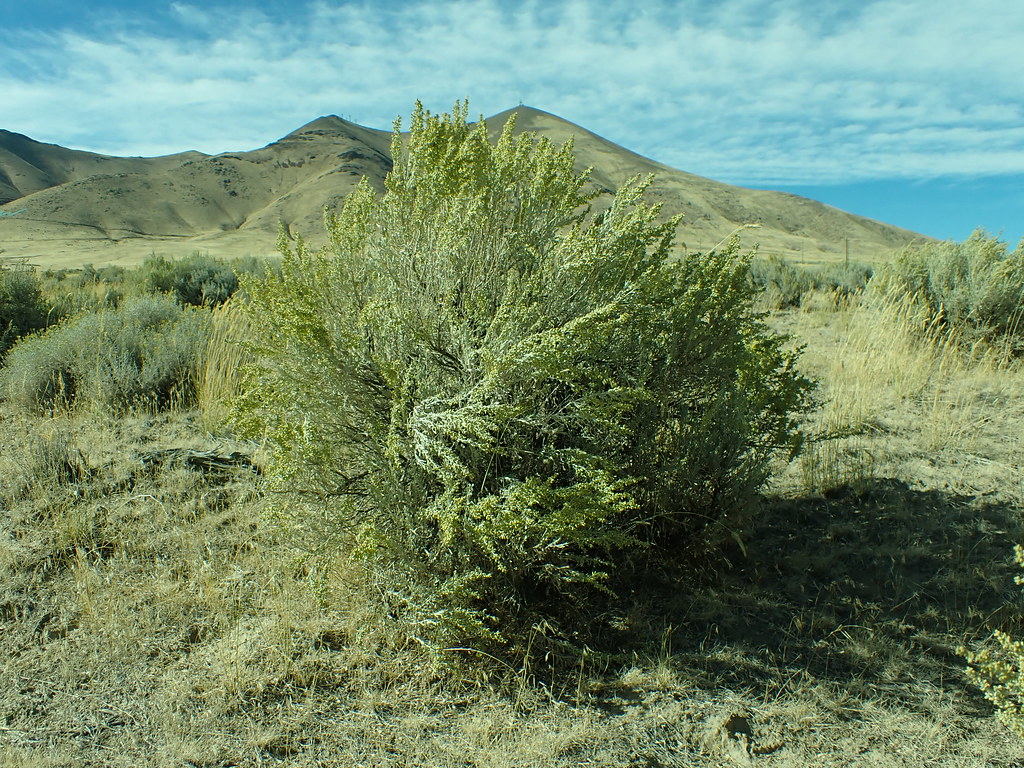 Lower LoopHiking · ~58 min drivePhoto: Matt Lavin, CC BY-SA 2.0 (via Flickr)
- Single Tree TrailHiking · ~29 min drive
- Summit TrailHiking · ~3 min drive
 Moose Head Mine TrailHiking · ~1h 7m drivePhoto: Ken Lund, CC BY-SA 2.0 (via Flickr)
 Ditch TrailHiking · ~1h 1m drivePhoto: Ken Lund, CC BY-SA 2.0 (via Flickr)
- Summit TrailHiking · ~9 min drive
 Water Canyon TrailHiking · ~1h 9m drivePhoto: Ken Lund, CC BY-SA 2.0 (via Flickr)
 Secret TrailHiking · ~1h 2m drivePhoto: Doug Letterman, CC BY 2.0 (via Flickr)


Map and trail data © OpenStreetMap contributors
