Pole Line Trail
 Photo: Matt Lavin, CC BY-SA 2.0 (via Flickr)
- 0.8 mi
- round trip
- 1,711 ft
- climb
- 6,720 ft
- high point
- Out and back
- route
Pole Line Trail is a moderate, out-and-back hike of about 1.6 miles on Bureau of Land Management land in Nevada's Humboldt River Field Office. The trail starts at roughly 5,170 feet and climbs to a high point of about 6,720 feet, with a total elevation gain of about 1,711 feet. The climb is front-loaded, and the steepest stretch comes around the 0.6-mile mark, where the grade reaches about 44 percent. The trip takes about 1.5 hours. Because the trail is short and the climb is steep, plan for a hike that rises quickly before turning back. The Lower Loop starts just 0.2 miles away, and the Upper Mountain Trail is about 0.8 miles off. The Secret Trail and Ditch Trail are both within about 4.5 miles.
Conditions and forecast on Winnemucca Mountain
Daily highs and lows, wind and the chance of precipitation at the summit and route start for the next 7 days, from the Open-Meteo model.
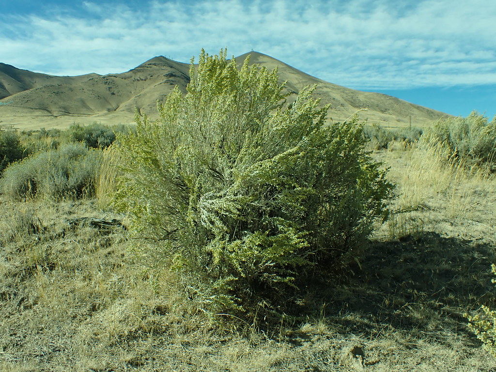 Lower LoopHikingPhoto: Matt Lavin, CC BY-SA 2.0 (via Flickr)0.2 mi
- Upper Mountain TrailHiking0.8 mi
 Secret TrailHikingPhoto: Doug Letterman, CC BY 2.0 (via Flickr)4.3 mi
 Ditch TrailHikingPhoto: Ken Lund, CC BY-SA 2.0 (via Flickr)4.5 mi
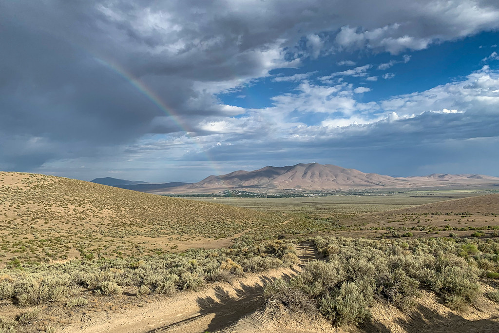 Water Canyon-Bloody Shins ConnectorHikingPhoto: Doug Letterman, CC BY 2.0 (via Flickr)6.2 mi
 Nature TrailHikingPhoto: Ken Lund, CC BY-SA 2.0 (via Flickr)6.7 mi
- Mountain ViewHikingPhoto: Doug Letterman, CC BY 2.0 (via Flickr)6.9 mi
- Pioneer SloughCanoeing8.1 mi
Source: Roamze catalog (indexable pages within 10 miles, PostGIS distance)
- Lower LoopHiking · Next doorPhoto: Matt Lavin, CC BY-SA 2.0 (via Flickr)
 Moose Head Mine TrailHiking · ~14 min drivePhoto: Ken Lund, CC BY-SA 2.0 (via Flickr)
 Old California TrailHiking · ~1h 10m drivePhoto: Jürgen Regel, Marian…, CC BY 3.0 (via Wikimedia Commons)
- Summit TrailHiking · ~58 min drive
- Secret TrailHiking · ~7 min drivePhoto: Doug Letterman, CC BY 2.0 (via Flickr)
 Water Canyon TrailHiking · ~16 min drivePhoto: Ken Lund, CC BY-SA 2.0 (via Flickr)
- Andorno CreekHiking · ~52 min drive
- Ditch TrailHiking · ~8 min drivePhoto: Ken Lund, CC BY-SA 2.0 (via Flickr)
- Mullen Canyon TrailHiking · ~18 min drive
- Summit TrailHiking · ~56 min drive

Route details
- Distance
- 0.8 mi round trip
- Climbing
- About 1,711 ft
- Summit
- 6,756 ft
- Difficulty
- Moderate
- Time
- About 1 hour
Other routes up Winnemucca Mountain
Questions about this route
How long is the Pole Line Trail on Winnemucca Mountain?
About 0.8 mi round trip.
How much elevation gain is on the Pole Line Trail?
About 1,711 ft of climbing round trip.
How hard is the Pole Line Trail?
It is rated moderate.
How long does the Pole Line Trail take?
About 1 hour round trip.
How many routes go up Winnemucca Mountain?
2: Pole Line Trail and Upper Mountain Trail.
Map and trail data © OpenStreetMap contributors
