Ditch Trail
 Photo: Ken Lund, CC BY-SA 2.0 (via Flickr)
- 0.9 mi
- round trip
- 135 ft
- climb
- 4,655 ft
- high point
- Out and back
- route
Ditch Trail is a short, easy out-and-back hike in western Nevada, on land managed by the Bureau of Land Management's Humboldt River Field Office. The route is about 2 miles long, and it starts and ends at roughly 4,655 feet, with a total elevation gain of about 135 feet. That makes it a quick walk, with the steepest stretch near the beginning at about 0.18 miles in. Spring and fall are the most comfortable times to go. Typical averages from a nearby weather station show May highs around 71°F and October highs around 67°F, while July and August average in the low 90s. Secret Trail lies about a mile away, and the Water Canyon-Bloody Shins Connector is about 1.8 miles off. Mountain View is a little farther at about 2.4 miles, and the Water Canyon Overlook Trail is about 3.3 miles away.
 Secret TrailHikingPhoto: Doug Letterman, CC BY 2.0 (via Flickr)1 mi
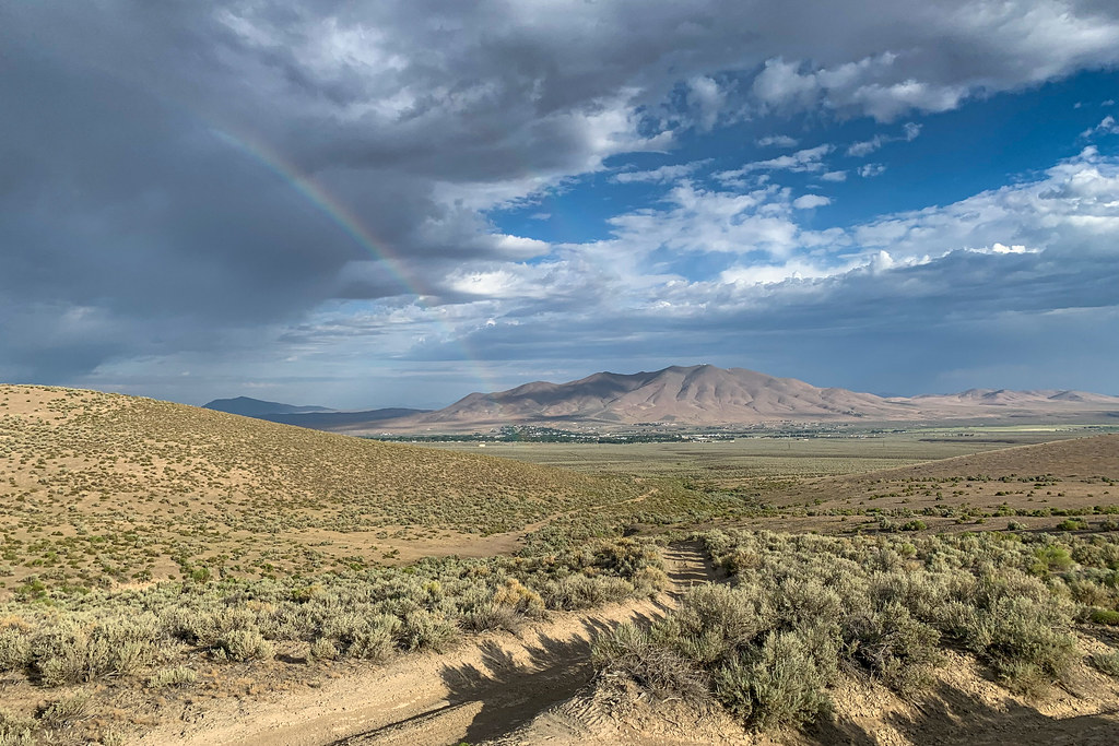 Water Canyon-Bloody Shins ConnectorHikingPhoto: Doug Letterman, CC BY 2.0 (via Flickr)1.8 mi
- Mountain ViewHikingPhoto: Doug Letterman, CC BY 2.0 (via Flickr)2.4 mi
 Nature TrailHikingPhoto: Ken Lund, CC BY-SA 2.0 (via Flickr)2.9 mi
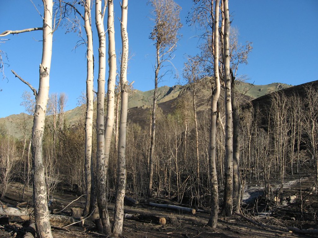 Water Canyon Overlook TrailHikingPhoto: Ken Lund, CC BY-SA 2.0 (via Flickr)3.3 mi
 Moose Head Mine TrailHikingPhoto: Ken Lund, CC BY-SA 2.0 (via Flickr)4.1 mi
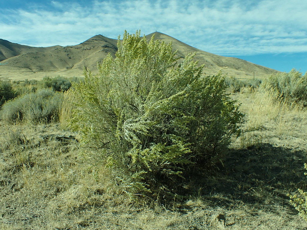 Lower LoopHikingPhoto: Matt Lavin, CC BY-SA 2.0 (via Flickr)4.3 mi
- Pioneer SloughCanoeing5.7 mi
Source: Roamze catalog (indexable pages within 10 miles, PostGIS distance)
Map and trail data © OpenStreetMap contributors
