Singas Creek Trail
- 0.4 mi
- round trip
- 855 ft
- climb
- 6,891 ft
- high point
- Out and back
- route
Is Singas Creek Trail open right now?
Closure in the area
There's a closure order in Humboldt-Toiyabe National Forest. It doesn't name Singas Creek Trail, so check the source for the area it covers.
Elephant Fire Closure
Agency closure covering Humboldt-Toiyabe National Forest · Order 04-17-26-01-04 · USFS · Humboldt-Toiyabe National Forest
Area, Road, and Trail Closures (Spring Mountains National Recreation Area)
Agency alert covering Humboldt-Toiyabe National Forest · Order 04-17-25-04 · USFS · Humboldt-Toiyabe National Forest
Year-Round Fire Restrictions (Spring Mountains National Recreation Area)
Agency alert covering Humboldt-Toiyabe National Forest · Order 04-17-24-01 · USFS · Humboldt-Toiyabe National Forest
Vehicle Snow Chain Requirements during Inclement Weather (Spring Mountains National Recreation Area)
Agency alert covering Humboldt-Toiyabe National Forest · Order 04-17-23-01 · USFS · Humboldt-Toiyabe National Forest
Rainbow Canyon Flood Diversion Structure Closure (Spring Mountains National Recreation Area)
Agency alert covering Humboldt-Toiyabe National Forest · Order 04-17-15-01 · USFS · Humboldt-Toiyabe National Forest
As of · Source: USFS · Humboldt-Toiyabe National Forest. Agencies don't list every closure — check before you go.
Singas Creek Trail is a short, easy hike in the Santa Rosa-Paradise Peak Wilderness, part of the Santa Rosa Ranger District of Humboldt-Toiyabe National Forest in Nevada. The Forest Service manages the land, and the trail lies within designated wilderness. The route is an out-and-back of about 0.86 miles, with a total climb of 855 feet. The steepest stretch comes early, at about 0.13 miles from the start, where the grade reaches 29%. The trail begins at roughly 6,888 feet and reaches a high point of about 6,891 feet before returning to the starting elevation. Summit Trail starts just 0.1 mile away, and Hanson Creek, Abel Creek and Lamance Creek Trail are all within about 2.6 miles.
Keep exploring — more trails worth the drive
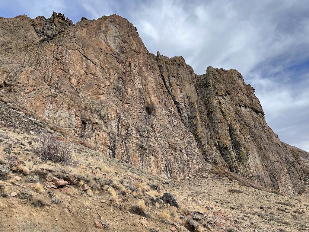 Photo: Seth Tisue, CC BY-SA 2.0 (via Flickr)
Slick Rock
~24 min drive
6.88-mile out-and-back trail in Nevada with 758 ft elevation gain.
 Photo: Matt Lavin, CC BY-SA 2.0 (via Flickr)
Pole Line Trail
~58 min drive
1.64-mile out-and-back trail in Nevada with 1,711 ft elevation gain
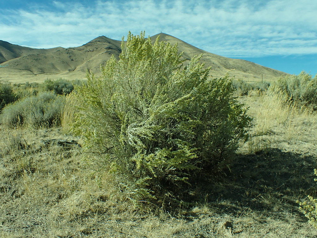 Photo: Matt Lavin, CC BY-SA 2.0 (via Flickr)
Lower Loop
~58 min drive
3.26-mile loop in Nevada with 586 ft elevation gain/loss.
HIKE
Single Tree Trail
~29 min drive
15.12-mile out-and-back hike in Nevada with 3,809 ft elevation gain and loss.
HIKE
Summit Trail
~3 min drive
16-mile out-and-back trail in Nevada with 831 ft elevation gain.
 Photo: Ken Lund, CC BY-SA 2.0 (via Flickr)
Moose Head Mine Trail
~1h 7m drive
3.44-mile out-and-back trail in Nevada with 2,050 ft elevation gain and loss.
 Photo: Ken Lund, CC BY-SA 2.0 (via Flickr)
Ditch Trail
~1h 1m drive
1.88-mile out-and-back trail in Nevada with 135 ft elevation gain
HIKE
Summit Trail
~9 min drive
26.01-mile out-and-back hike in Nevada with 3,124 ft elevation gain.
 Photo: Ken Lund, CC BY-SA 2.0 (via Flickr)
Water Canyon Trail
~1h 9m drive
3.72-mile out-and-back trail in Nevada with 1,377 ft elevation gain
 Photo: Doug Letterman, CC BY 2.0 (via Flickr)
Secret Trail
~1h 2m drive
2.24-mile out-and-back hike in Nevada with 185 ft gain and 4,655 ft max elevation.


Map and trail data © OpenStreetMap contributors
