Secret Trail
 Photo: Doug Letterman, CC BY 2.0 (via Flickr)
- 1.1 mi
- round trip
- 185 ft
- climb
- 4,655 ft
- high point
- Out and back
- route
- Apr–Jun, Sep–Oct
- best months
Secret Trail is an easy out-and-back hike of about 2.2 miles on Bureau of Land Management land in the Humboldt River Field Office in Nevada. The trip is short, taking about an hour, and the route is mostly flat, with a high point of about 4,655 feet and a total elevation gain of 185 feet over the full round trip. That makes it a low-effort outing, suited to a quick stop rather than a full day on the trail. Spring and fall are the most comfortable times to go. Typical averages from a nearby weather station in Winnemucca show May highs around 71°F and October highs around 67°F, while July and August average highs near 91°F and winter brings frequent snow days. Several other routes sit close by. Ditch Trail is about a mile away, and the Water Canyon-Bloody Shins Connector and Nature Trail are each within about 2.4 miles. For paddling, Pioneer Slough is roughly 6.8 miles off.
 Ditch TrailHikingPhoto: Ken Lund, CC BY-SA 2.0 (via Flickr)1 mi
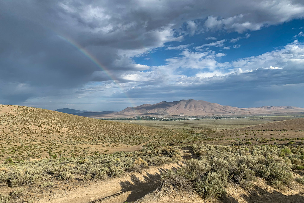 Water Canyon-Bloody Shins ConnectorHikingPhoto: Doug Letterman, CC BY 2.0 (via Flickr)2.3 mi
 Nature TrailHikingPhoto: Ken Lund, CC BY-SA 2.0 (via Flickr)2.4 mi
- Mountain ViewHikingPhoto: Doug Letterman, CC BY 2.0 (via Flickr)2.9 mi
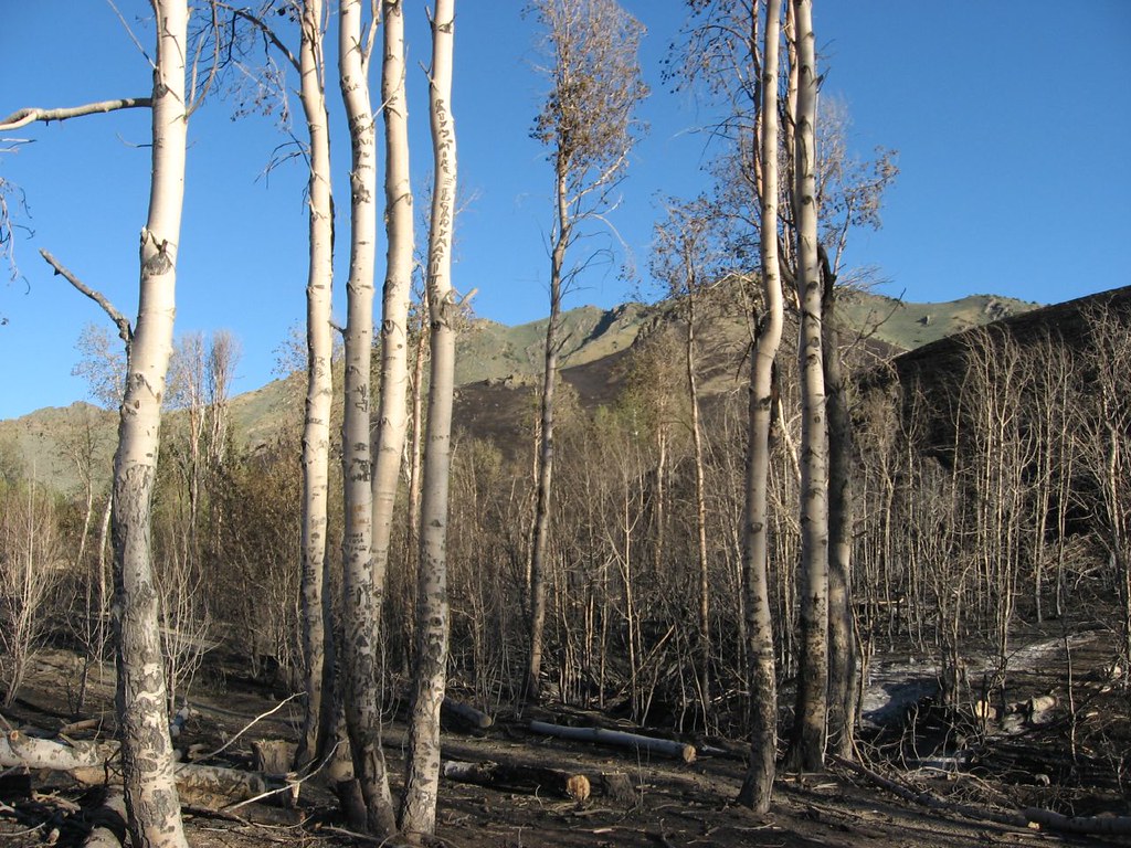 Water Canyon Overlook TrailHikingPhoto: Ken Lund, CC BY-SA 2.0 (via Flickr)3 mi
 Moose Head Mine TrailHikingPhoto: Ken Lund, CC BY-SA 2.0 (via Flickr)3.9 mi
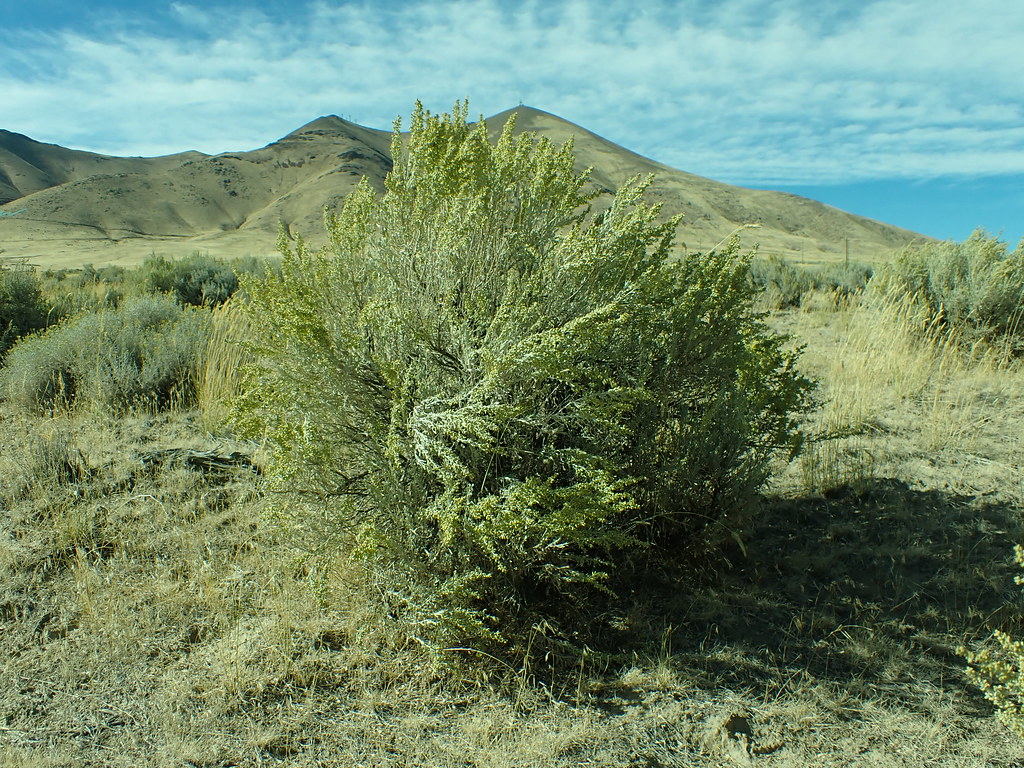 Lower LoopHikingPhoto: Matt Lavin, CC BY-SA 2.0 (via Flickr)4.1 mi
- Pioneer SloughCanoeing6.8 mi
Source: Roamze catalog (indexable pages within 10 miles, PostGIS distance)
- Ditch TrailHiking · ~2 min drivePhoto: Ken Lund, CC BY-SA 2.0 (via Flickr)
- Moose Head Mine TrailHiking · ~7 min drivePhoto: Ken Lund, CC BY-SA 2.0 (via Flickr)
 Old California TrailHiking · ~1h 3m drivePhoto: Jürgen Regel, Marian…, CC BY 3.0 (via Wikimedia Commons)
- Summit TrailHiking · ~1h 2m drive
- Water Canyon-Bloody Shins ConnectorHiking · ~4 min drivePhoto: Doug Letterman, CC BY 2.0 (via Flickr)
 Pole Line TrailHiking · ~7 min drivePhoto: Matt Lavin, CC BY-SA 2.0 (via Flickr)
- Andorno CreekHiking · ~57 min drive
- Nature TrailHiking · ~4 min drivePhoto: Ken Lund, CC BY-SA 2.0 (via Flickr)
 Water Canyon TrailHiking · ~9 min drivePhoto: Ken Lund, CC BY-SA 2.0 (via Flickr)
- Summit TrailHiking · ~1h 1m drive
Best time to visit Secret Trail
Best months: April–June and September–October. Best months have typical highs of 55–85 °F, lows of 30 °F or warmer (32 °F where the station doesn't record snow), at most one snowy day and no more than 12 wet days.
Jan
42° / 19°
7 wet · 4 snow
Feb
47° / 23°
7 wet · 3 snow
Mar
55° / 27°
7 wet · 3 snow
Apr
62° / 32°
7 wet · 1 snow
May
71° / 40°
7 wet
Jun
82° / 49°
3 wet
Jul
92° / 56°
2 wet
Aug
91° / 53°
2 wet
Sep
81° / 43°
2 wet
Oct
67° / 32°
4 wet
Nov
52° / 24°
5 wet · 2 snow
Dec
41° / 18°
7 wet · 4 snow
Typical high / low (°F) and days with rain or snow, 1991–2020. Measured at Winnemucca 3ssw, NV, 3.2 mi away at 4,355 ft. Source: NOAA NCEI U.S. Climate Normals 1991–2020.

Map and trail data © OpenStreetMap contributors
