Water Canyon Trail
 Photo: Ken Lund, CC BY-SA 2.0 (via Flickr)
- 1.9 mi
- round trip
- 1,377 ft
- climb
- 6,995 ft
- high point
- Out and back
- route
Water Canyon Trail is a 3.7-mile out-and-back hike on Bureau of Land Management land in Nevada's Humboldt River Field Office, about 1.8 miles from the trailhead. The route climbs to a high point of 6995 feet, with a total elevation gain of 1,377 feet over the round trip. The steepest section comes early, with a 17% grade around 0.11 miles from the start. The trail is rated moderate. The climb is back-loaded, so the ascent is a little easier than the descent. Plan for about two hours on foot, and the route works well as a shorter outing with a modest climb. Nearby, Moose Head Mine Trail lies about 1.4 miles away and Sonoma Crest Trail about 1.6 miles away. Water Canyon Overlook Trail is roughly 2.3 miles off, and Pioneer Slough offers canoeing about 8.7 miles away.
 Moose Head Mine TrailHikingPhoto: Ken Lund, CC BY-SA 2.0 (via Flickr)1.4 mi
- Sonoma Crest TrailHiking1.6 mi
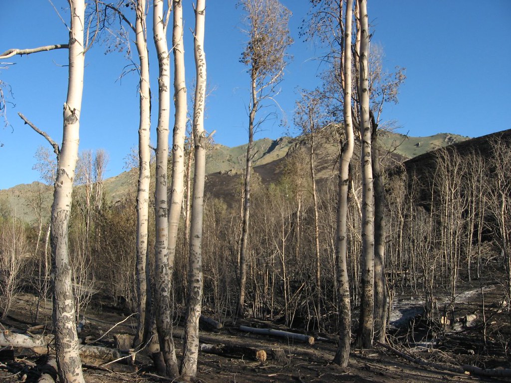 Water Canyon Overlook TrailHikingPhoto: Ken Lund, CC BY-SA 2.0 (via Flickr)2.3 mi
 Water Canyon-Bloody Shins ConnectorHikingPhoto: Ken Lund, CC BY-SA 2.0 (via Flickr)2.8 mi
- Nature TrailHikingPhoto: Ken Lund, CC BY-SA 2.0 (via Flickr)2.9 mi
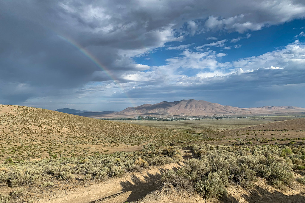 Mountain ViewHikingPhoto: Doug Letterman, CC BY 2.0 (via Flickr)3.4 mi
- Pioneer SloughCanoeing8.7 mi
- Clear CreekCanoeing9.6 mi
Source: Roamze catalog (indexable pages within 10 miles, PostGIS distance)
- Moose Head Mine TrailHiking · ~2 min drivePhoto: Ken Lund, CC BY-SA 2.0 (via Flickr)
- Water Canyon Overlook TrailHiking · ~4 min drivePhoto: Ken Lund, CC BY-SA 2.0 (via Flickr)
 Old California TrailHiking · ~55 min drivePhoto: Jürgen Regel, Marian…, CC BY 3.0 (via Wikimedia Commons)
- Summit TrailHiking · ~1h 9m drive
 Pole Line TrailHiking · ~16 min drivePhoto: Matt Lavin, CC BY-SA 2.0 (via Flickr)
- Water Canyon-Bloody Shins ConnectorHiking · ~5 min drivePhoto: Ken Lund, CC BY-SA 2.0 (via Flickr)
- Copper Basin Mtn. Bike Trail - Loop 3 - Long Canyon LoopHiking · ~1h 1m drive
- Sonoma Creek Access TrailHiking · ~6 min drive
- Nature TrailHiking · ~5 min drivePhoto: Ken Lund, CC BY-SA 2.0 (via Flickr)
- Andorno CreekHiking · ~1h 4m drive
Map and trail data © OpenStreetMap contributors
