Stone House Creek Trail
- 1.7 mi
- round trip
- 605 ft
- climb
- 5,654 ft
- high point
- Out and back
- route
- May–Jun, Sep
- best months
Stone House Creek Trail is a short, easy hike on Bureau of Land Management land within the Humboldt River Field Office in Nevada. The trail is about 1.7 miles long and runs as an out-and-back, with the high point at 5,654 feet and the low at 5,059 feet. The route is back-loaded, so the steepest stretch of about 10% comes early in the hike. The trail is an out-and-back that starts at the high point and descends to the low before turning back. The total climb is about 605 feet one way, which makes for an easy day on foot. The trip takes about 1.5 hours, so it works well as a short outing or a stop on the way to another destination in the area. Spring and fall are the most comfortable times to go. Typical averages from a nearby weather station in Paradise Valley put May highs around 73°F and October highs around 69°F, while July averages climb to about 93°F and winter lows drop to around 18°F. Several other trails sit within a short drive, including Abel Creek at about 1.5 miles and Summit Trail and Singas Creek Trail at about 3.3 miles. For time on the water, Big Cottonwood Creek is roughly 5 miles away.
- Abel CreekHiking1.5 mi
- Summit TrailHiking3.3 mi
- Singas Creek TrailHiking3.3 mi
- Hanson CreekHiking4.9 mi
- Big Cottonwood CreekCanoeing5 mi
- Lamance Creek TrailHiking5.5 mi
- Andorno CreekHiking6.3 mi
- Little Cottonwood CreekHiking6.3 mi
Source: Roamze catalog (indexable pages within 10 miles, PostGIS distance)
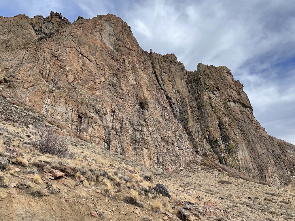 Slick RockHiking · ~28 min drivePhoto: Seth Tisue, CC BY-SA 2.0 (via Flickr)
 Pole Line TrailHiking · ~53 min drivePhoto: Matt Lavin, CC BY-SA 2.0 (via Flickr)
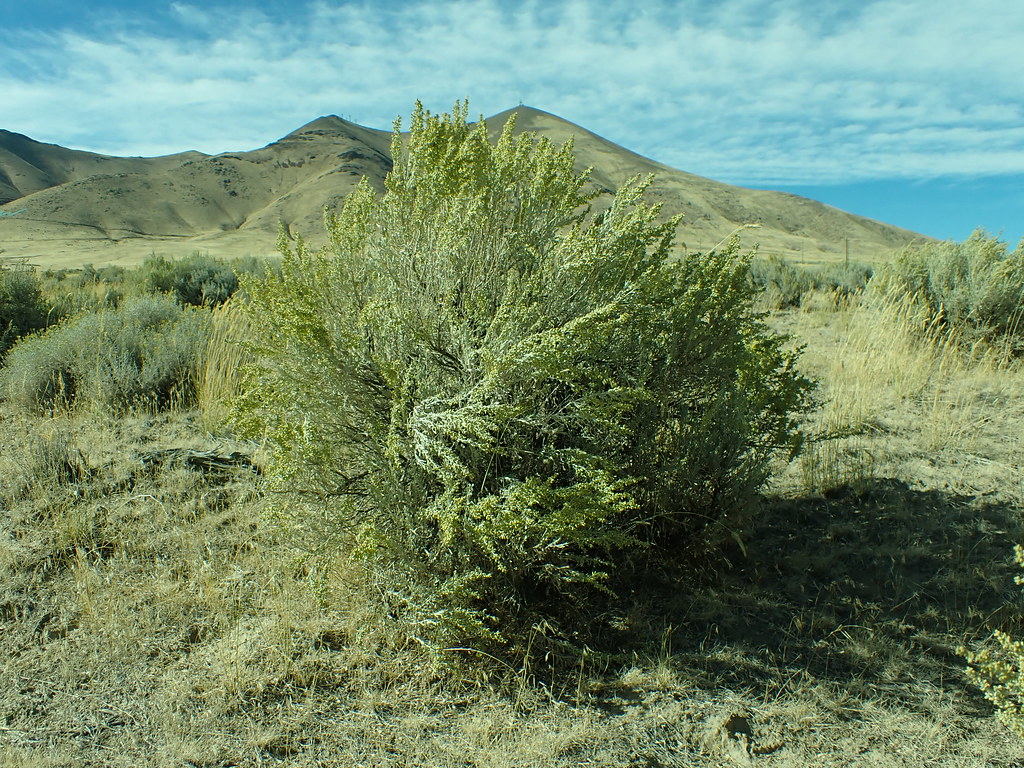 Lower LoopHiking · ~53 min drivePhoto: Matt Lavin, CC BY-SA 2.0 (via Flickr)
- Summit TrailHiking · ~6 min drive
- Summit TrailHiking · ~8 min drive
 Moose Head Mine TrailHiking · ~1h 2m drivePhoto: Ken Lund, CC BY-SA 2.0 (via Flickr)
 Ditch TrailHiking · ~56 min drivePhoto: Ken Lund, CC BY-SA 2.0 (via Flickr)
- Single Tree TrailHiking · ~33 min drive
- Andorno CreekHiking · ~11 min drive
 Water Canyon TrailHiking · ~1h 3m drivePhoto: Ken Lund, CC BY-SA 2.0 (via Flickr)
Best time to visit Stone House Creek Trail
Best months: May–June and September. Best months have typical highs of 55–85 °F, lows of 30 °F or warmer (32 °F where the station doesn't record snow), at most one snowy day and no more than 12 wet days.
Jan
42° / 18°
9 wet
Feb
47° / 22°
8 wet
Mar
56° / 26°
7 wet
Apr
63° / 31°
6 wet
May
73° / 37°
6 wet
Jun
82° / 43°
4 wet
Jul
93° / 49°
2 wet
Aug
91° / 48°
2 wet
Sep
83° / 39°
2 wet
Oct
69° / 31°
3 wet
Nov
53° / 22°
6 wet
Dec
41° / 17°
9 wet
Typical high / low (°F) and days with rain or snow, 1991–2020. Measured at Paradise Valley 1 Nw, NV, 6.3 mi away at 4,560 ft. The station sits about 1,100 ft lower than this place, so expect it a little cooler here. This station doesn't record snowfall. Source: NOAA NCEI U.S. Climate Normals 1991–2020.


Map and trail data © OpenStreetMap contributors
