Head Waters Middle Fork
Campground
Campground · 0.8 mi from the trail
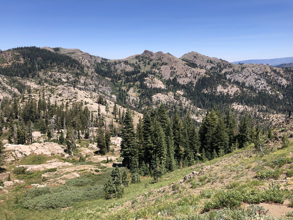
 Photo: Tim Berger from Fair Oaks, CA, CC BY 2.0 (via Wikimedia Commons)
Alert in the area
The Forest Service lists an alert for Tahoe National Forest.
Camping and Campfire Restrictions-Truckee and Sierraville Districts
Agency alert covering Tahoe National Forest · Order 17-25-05 · USFS · Tahoe National Forest
As of · Source: USFS · Tahoe National Forest. Agencies don't list every closure — check before you go.
Granite Chief is a summit of about 9,006 feet in Placer County, California, set within the Granite Chief Wilderness. The peak lies in the Truckee Ranger District of Tahoe National Forest, managed by the Forest Service, and the nearest town is Sunnyside-Tahoe City, about 7 miles away. Fire rules are worth checking before any trip. The Tevis Cup Trail passes less than half a mile away, and the Western States Trail is under a mile off. Climbers can find Center Wall and Shirley Canyon Cliffs within about 1.5 miles, while Talbot campground sits roughly 5 miles away.
Head Waters Middle Fork
Campground
The Arc
Restaurant
Places © OpenStreetMap contributors
More in Sunnyside-Tahoe CityDaily highs and lows, wind and the chance of precipitation at the summit for the next 7 days, from the Open-Meteo model.
Elevation from USGS 3D Elevation Program terrain data (about 10 m resolution).
We don't know of a mapped trail or route to the summit of Granite Chief. Plan the approach with local maps, a guidebook or a local guide, and check conditions before you go.
9,006 ft (2,745 m).
We don't know of a mapped trail or route to the summit. Plan the approach with local maps, a guidebook or a local guide.


 Tevis Cup TrailHikingPhoto: Ken Lund, CC BY-SA 2.0 (via Flickr)0.4 miWestern States TrailHikingPhoto: Ken Lund, CC BY-SA 2.0 (via Flickr)0.8 mi
 Center WallRock climbingPhoto: Ken Lund, CC BY-SA 2.0 (via Flickr)1.2 mi
 Shirley Canyon CliffsRock climbingPhoto: Ken Lund, CC BY-SA 2.0 (via Flickr)1.5 mi
 Silver Creek CgCampingPhoto: Rojer — CC BY 2.0 (via Flickr)4.8 mi
 North Fork American RiverCanoeingPhoto: Moiseiko, CC BY-SA 3.0 (via Wikimedia Commons)5.1 mi
Source: Roamze catalog (indexable pages within 10 miles, PostGIS distance)
 Tinker KnobSummit · ~5 min drivePhoto: Tim Berger, CC BY 2.0 (via Wikimedia Commons)Anderson PeakSummit · ~7 min drivePhoto: Tim Berger, CC BY 2.0 (via Wikimedia Commons)Donner PeakSummit · ~13 min drivePhoto: Ken Lund, CC BY-SA 2.0 (via Wikimedia Commons)
 Castle PeakSummit · ~21 min drivePhoto: MiguelVieira, CC BY 2.0 (via Wikimedia Commons)
 McConnell PeakSummit · ~30 min drivePhoto: photo by Travis Higdon, Public domain (via Wikimedia Commons)
 Rose Knob PeakSummit · ~32 min drivePhoto: Ken Lund, CC BY-SA 2.5 (via Wikimedia Commons)
 Relay PeakSummit · ~34 min drivePhoto: Mitch Barrie, CC BY-SA 2.0 (via Wikimedia Commons)
 Maggies PeaksSummit · ~35 min drivePhoto: Phreakdigital (talk · contribs), Public domain (via Wikimedia Commons)
 Mount TallacSummit · ~39 min drivePhoto: Rabit 115 at English Wikipedia, Public domain (via Wikimedia Commons)
 Slide MountainSummit · ~39 min drivePhoto: Rick Cooper, CC BY 2.0 (via Wikimedia Commons)
