Summit Lake
Campground
Campground · 2.8 mi from the trail
 Photo: Ken Lund, CC BY-SA 2.0 (via Wikimedia Commons)
Alert in the area
The Forest Service lists an alert for Tahoe National Forest.
Camping and Campfire Restrictions-Truckee and Sierraville Districts
Agency alert covering Tahoe National Forest · Order 17-25-05 · USFS · Tahoe National Forest
As of · Source: USFS · Tahoe National Forest. Agencies don't list every closure — check before you go.
Donner Peak is a summit in Placer County, California, within the Truckee Ranger District of Tahoe National Forest. The Forest Service manages the surrounding land, and the nearest town is Soda Springs, about 3.7 miles away. The peak sits in a cluster of climbing and hiking spots, so it fits easily into a longer day in the area. Close by are the climbing areas Train Time Wall, about half a mile off, and East Face, about 0.6 miles away. The Pacific Crest National Scenic Trail #2000 passes within about 0.9 miles, and the Lake Mary Trail lies roughly 1.1 miles away.
Summit Lake
Campground
Donner Ski Ranch
Restaurant
Watson Cabin
Museum
Places © OpenStreetMap contributors
More in Sunnyside-Tahoe CityDaily highs and lows, wind and the chance of precipitation at the summit and route start for the next 7 days, from the Open-Meteo model.
Elevation from USGS 3D Elevation Program terrain data (about 10 m resolution).
8,010 ft (2,441 m).
One: Emigrant Trail.

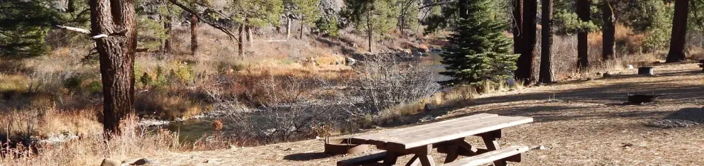 Granite Flat (california)CampingPhoto: Recreation.gov (RIDB) / public domain5.9 mi
Source: Roamze catalog (indexable pages within 10 miles, PostGIS distance)
Anderson PeakSummit · ~6 min drivePhoto: Tim Berger, CC BY 2.0 (via Wikimedia Commons) Castle PeakSummit · ~8 min drivePhoto: MiguelVieira, CC BY 2.0 (via Wikimedia Commons)
 Tinker KnobSummit · ~8 min drivePhoto: Tim Berger, CC BY 2.0 (via Wikimedia Commons)
 Granite ChiefSummit · ~13 min drivePhoto: Tim Berger from Fair Oaks, CA, CC BY 2.0 (via Wikimedia Commons)
 Rose Knob PeakSummit · ~33 min drivePhoto: Ken Lund, CC BY-SA 2.5 (via Wikimedia Commons)
 Relay PeakSummit · ~34 min drivePhoto: Mitch Barrie, CC BY-SA 2.0 (via Wikimedia Commons)
 Slide MountainSummit · ~39 min drivePhoto: Rick Cooper, CC BY 2.0 (via Wikimedia Commons)
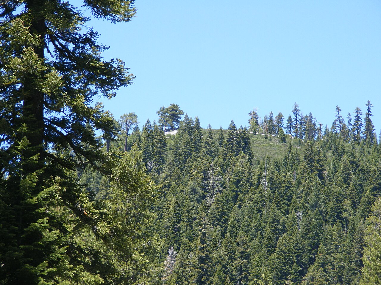 Schroeder MountainSummit · ~43 min drivePhoto: Pmschroeder, CC BY-SA 3.0 (via Wikimedia Commons)
 McConnell PeakSummit · ~43 min drivePhoto: photo by Travis Higdon, Public domain (via Wikimedia Commons)
 Sierra ButtesSummit · ~46 min drivePhoto: Yngvadottir, CC BY-SA 4.0 (via Wikimedia Commons)
Also worth it near here


