
Silver Creek-Truckee
Campground
1.4 mi from the trail
Painted Rock is a summit of 7,750 feet in California's Tahoe National Forest, within the Lake Tahoe Basin Management Unit. The nearest town is Dollar Point, about 4 miles away. Summer is the most comfortable time to visit. Typical averages from a nearby weather station in Tahoe City show July highs around 78°F with lows near 46°F and only about one wet day in the month. That station sits roughly 1,500 feet below the summit, so temperatures on top run cooler. The Tahoe Rim Trail passes within a few tenths of a mile of the summit, with the Painted Rock South and Painted Rock North segments close by. Silver Creek Campground is about 1.4 miles away, and the Light Deprivation Buttress climbing area is about 2 miles off.
Where it is: Tahoe National Forest · Lake Tahoe Basin Management Unit
Near: Dollar Point, California · 4.1 mi
Best months: May–October. Best months have typical highs of 55–85 °F, lows of 30 °F or warmer (32 °F where the station doesn't record snow), at most one snowy day and no more than 12 wet days.
Jan
40°
21°
11 wet · 7 snow
Feb
40°
21°
10 wet · 7 snow
Mar
45°
24°
10 wet · 7 snow
Apr
50°
28°
8 wet · 4 snow
May
59°
34°
7 wet · 1 snow
Jun
69°
40°
3 wet
Jul
78°
46°
1 wet
Aug
77°
45°
2 wet
Sep
70°
41°
2 wet
Oct
59°
33°
4 wet · 1 snow
Nov
48°
26°
7 wet · 3 snow
Dec
40°
21°
10 wet · 6 snow
Typical high / low (°F) and days with rain or snow, 1991–2020. Measured at Tahoe City, CA, 3.7 mi away at 6,230 ft. The station sits about 1,500 ft lower than this place, so expect it a little cooler here. Source: NOAA NCEI U.S. Climate Normals 1991–2020.
Been here? Tell people how it was.
| Tahoe Rim Trail (Alternate) | Tahoe Rim Trail (Painted Rock South) | |
|---|---|---|
| Climbing | About 233 ft | About 699 ft |
| Round trip | 0.8 mi | 2.0 mi |
| Difficulty | Easy | Easy |
| Terrain | Hike | Hike |

 Tahoe Rim Trail (Painted Rock North)Mountain bikingPhoto: AT2663, CC BY-SA 3.0 (via Wikimedia Commons)0.3 mi
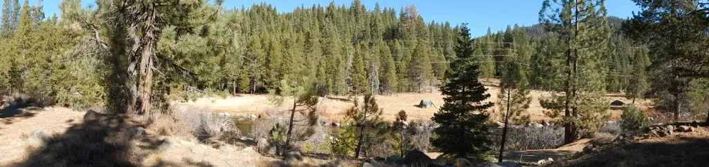 Silver Creek-TruckeeCampingPhoto: Recreation.gov (RIDB) / public domain1.4 mi
 Silver Creek CgCampingPhoto: Rojer — CC BY 2.0 (via Flickr)1.4 mi
 Martis CreekCanoeingPhoto: Schmiebel, CC BY-SA 3.0 (via Wikimedia Commons)5.2 mi
 Tinker KnobSummitPhoto: Tim Berger, CC BY 2.0 (via Wikimedia Commons)~10 min drive
 Rose Knob PeakSummitPhoto: Ken Lund, CC BY-SA 2.5 (via Wikimedia Commons)~23 min drive
 Castle PeakSummitPhoto: MiguelVieira, CC BY 2.0 (via Wikimedia Commons)~24 min drive
 Mount RoseSummitPhoto: Mr. Richard from Fair Oaks, USA, CC BY 2.0 (via Wikimedia Commons)~29 min drive
 Slide MountainSummitPhoto: Rick Cooper, CC BY 2.0 (via Wikimedia Commons)~30 min drive
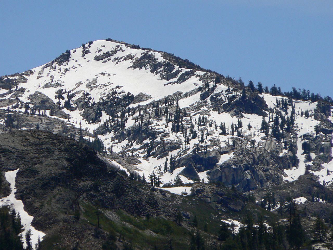 Tells PeakSummitPhoto: Nick Ares from Auburn, CA, United States, CC BY-SA 2.0 (via Wikimedia Commons)~31 min drive
 Phipps PeakSummitPhoto: Tim Berger, CC BY 2.0 (via Wikimedia Commons)~31 min drive
 McConnell PeakSummitPhoto: photo by Travis Higdon, Public domain (via Wikimedia Commons)~32 min drive
 Silver PeakSummitPhoto: Tahoe Arts and Mountain Culture, CC BY 2.0 (via Wikimedia Commons)~33 min drive
 Maggies PeaksSummitPhoto: Phreakdigital (talk · contribs), Public domain (via Wikimedia Commons)~34 min drive
Also worth it near here
Daily highs and lows, wind and the chance of precipitation at the summit and route start for the next 7 days, from the Open-Meteo model.
7,750 ft (2,362 m).
2: Tahoe Rim Trail (Alternate) and Tahoe Rim Trail (Painted Rock South).
Tahoe Rim Trail (Alternate), about 0.8 mi round trip.
Questions about Painted Rock: conditions, access, timing. Answers say when something isn't known.
Silver Creek-Truckee
Campground
River Ranch
Restaurant
Watson Cabin
Museum
Places © OpenStreetMap contributors
More in Sunnyside-Tahoe City