Mountain · 1 route
Mount Judah
8,242 ft · California
- Summit
- 8,242 ft
- Routes
- 1 way up
- Season
- Year-round
Route up Mount Judah
About Mount Judah
Mount Judah is a summit in the Truckee Ranger District of Tahoe National Forest in California, about 3.8 miles from the town of Soda Springs. It sits within a cluster of hiking and climbing destinations, so it can anchor a full day spent on foot or on rock. The closest neighbor is the Mt. Judah Loop, a hike that starts about 0.4 miles away. Donner Peak, a climbing area, lies about 0.8 miles off, and the Emigrant Trail is roughly 1.1 miles away. For time on the water, Milton Reservoir is about 1.7 miles from the summit.
Forecast on Mount Judah
Daily highs and lows, wind and the chance of precipitation at the summit and route start for the next 7 days, from the Open-Meteo model.
Questions about Mount Judah
How tall is Mount Judah?
8,242 ft (2,512 m).
How many routes go to the summit of Mount Judah?
One: Mt. Judah Loop.
When is the best time to climb Mount Judah?
Year-round.
Mountains nearby
 Donner Peak8,010 ft · California1 route0.7 mi awayPhoto: Ken Lund, CC BY-SA 2.0 (via Wikimedia Commons)
- Mount Disney7,956 ft · California1 route1.4 mi away
- Mount Stephens7,264 ft · California2 routes1.6 mi away
- George R. Stewart Peak7,387 ft · California1 route1.7 mi away
 Anderson Peak8,687 ft · California1 route2.9 mi awayPhoto: Tim Berger, CC BY 2.0 (via Wikimedia Commons)
- Andesite Peak8,214 ft · California1 route4.5 mi away
Facts about this place
Where it is
- Truckee Ranger District · Ranger district
- Tahoe National Forest · National forest
- Nearest town
- Soda Springs, California · 3.8 mi
Conditions
Active alerts for Tahoe National Forest as of Oct 9, 2026:
fire-restriction · posted Oct 9, 2026
information · posted Oct 5, 2026
information · posted Sep 25, 2026
Hoke Valley- Forest Road 860-07 (17E11 Trail) Closed
information · posted Aug 24, 2026
Highway 20 Area Camping Restrictions
information · posted Aug 24, 2026
Camping and Campfire Restrictions-Truckee and Sierraville Districts
fire-restriction · posted Aug 24, 2026
Sierraville Ranger District Trail Closure
information · posted Aug 24, 2026
information · posted Aug 24, 2026
14-day Camping Occupancy Restrictions
information · posted Aug 24, 2026
information · posted Aug 24, 2026
Source: USFS forest alerts
Nearby
- Mt. Judah LoopHiking0.4 mi
- Donner PeakRock climbing0.8 mi
- The SaddlesRock climbing0.9 mi
 Emigrant TrailHikingPhoto: Loco Steve, CC BY 3.0 (via Wikimedia Commons)1.1 mi
- Milton ReservoirLake fishing1.7 mi
- Cold CreekCanoeing2.6 mi
- Granite FlatCamping5.9 mi
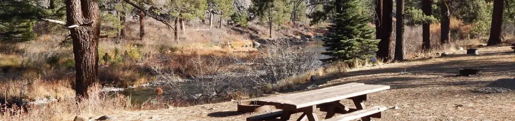 Granite Flat (california)CampingPhoto: Recreation.gov (RIDB) / public domain6 mi
Source: Roamze catalog (indexable pages within 10 miles, PostGIS distance)
Is Mount Judah open right now?
Alert in the area
The Forest Service lists 2 alerts for Tahoe National Forest.
Stage 1 Fire Restrictions
Agency alert covering Tahoe National Forest · Order 17-26-25 · USFS · Tahoe National Forest
Camping and Campfire Restrictions-Truckee and Sierraville Districts
Agency alert covering Tahoe National Forest · Order 17-25-05 · USFS · Tahoe National Forest
As of · Source: USFS · Tahoe National Forest. Agencies don't list every closure — check before you go.
