Head Waters Middle Fork
Campground
Campground · 1.1 mi from the trail
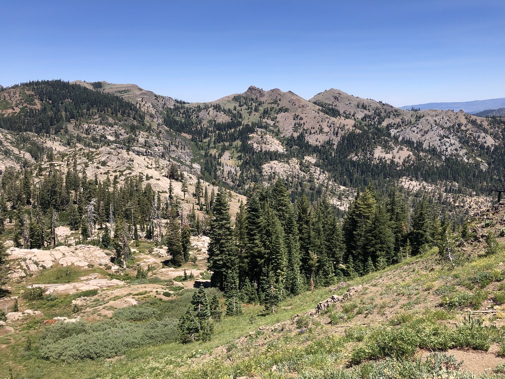 Photo: Ken Lund, CC BY-SA 2.0 (via Flickr)
Alert in the area
The Forest Service lists an alert for Tahoe National Forest.
Camping and Campfire Restrictions-Truckee and Sierraville Districts
Agency alert covering Tahoe National Forest · Order 17-25-05 · USFS · Tahoe National Forest
As of · Source: USFS · Tahoe National Forest. Agencies don't list every closure — check before you go.
The Western States Trail is a short, easy out-and-back hike in the Truckee Ranger District of Tahoe National Forest, about 0.6 miles from the starting point. The route is 1.2 miles long, with a total climb of 519 feet and a high point of 8,685 feet. The steepest stretch comes early, around 0.3 miles in, with a grade of about 21 percent. The trail is a low-commitment outing, and the climb is back-loaded, so the hardest part is behind you on the way back. The start sits at about 8,682 feet, and the low point is around 8,380 feet. Nearby, the Tevis Cup Trail is about 0.4 miles away and the Shirley Lake Trail about 0.6 miles. Climbers can head to Center Wall, roughly a mile off, and Silver Creek Campground is about 4.6 miles away.
Head Waters Middle Fork
Campground
The Arc
Restaurant
Places © OpenStreetMap contributors
More in Sunnyside-Tahoe CityNot on Roamze yet. Their page has how to reach them.
Tevis Cup TrailHikingPhoto: Ken Lund, CC BY-SA 2.0 (via Flickr)0.4 mi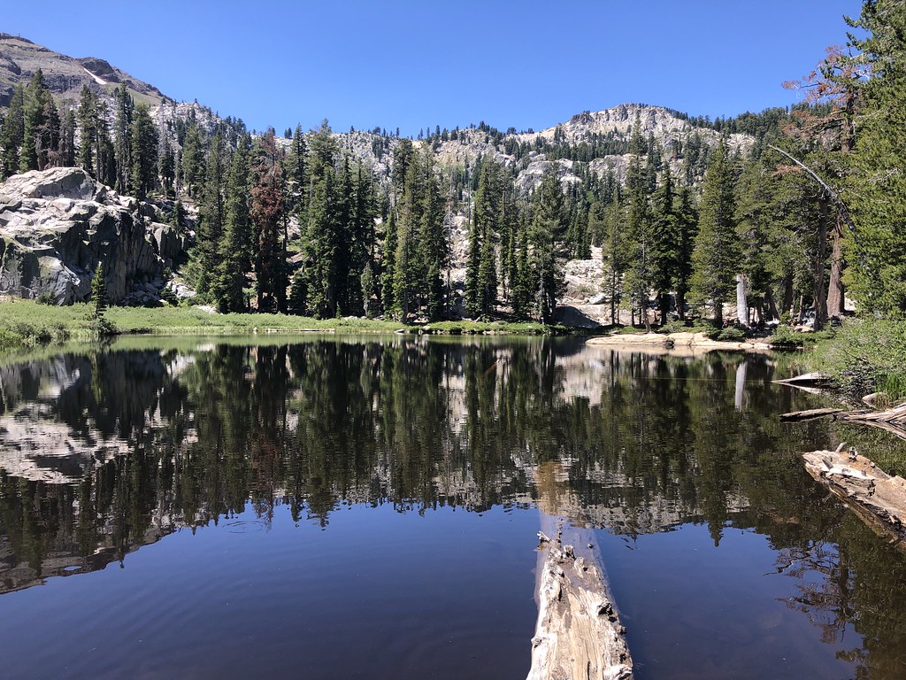 Shirley Lake TrailHikingPhoto: Ken Lund, CC BY-SA 2.0 (via Flickr)0.6 mi
 Center WallRock climbingPhoto: Ken Lund, CC BY-SA 2.0 (via Flickr)1 mi
 Shirley Canyon CliffsRock climbingPhoto: Ken Lund, CC BY-SA 2.0 (via Flickr)1.3 mi
 Silver Creek CgCampingPhoto: Rojer — CC BY 2.0 (via Flickr)4.6 mi
 Silver Creek-TruckeeCampingPhoto: Recreation.gov (RIDB) / public domain4.6 mi
 North Fork American RiverCanoeingPhoto: Moiseiko, CC BY-SA 3.0 (via Wikimedia Commons)5.8 mi
Source: Roamze catalog (indexable pages within 10 miles, PostGIS distance)
Shirley Lake TrailHiking · ~1 min drivePhoto: Ken Lund, CC BY-SA 2.0 (via Flickr) Thunder MountainHiking · ~3 min drivePhoto: Ken Lund, CC BY-SA 2.0 (via Flickr)Western States TrailHiking · ~3 min drivePhoto: Ken Lund, CC BY-SA 2.0 (via Flickr)
 Pacific Crest National Scenic Trail #2000Hiking · ~6 min drivePhoto: Tim Berger, CC BY 2.0 (via Wikimedia Commons)
 Western States TrailHiking · ~5 min drivePhoto: Squaw Valley Lodge, CC BY-SA 2.0 (via Wikimedia Commons)
 Whiskey CreekHiking · ~3 min drivePhoto: ray_explores, CC BY 2.0 (via Flickr)
 Painted RockHiking · ~8 min drivePhoto: donner summit historical society, Public Domain Mark (via Flickr)
 Historic Western States TrailHiking · ~3 min drivePhoto: schvin, CC BY 2.0 (via Flickr)
 Scott Peak TrailHiking · ~7 min drivePhoto: r0wb0t, CC BY-SA 2.0 (via Flickr)
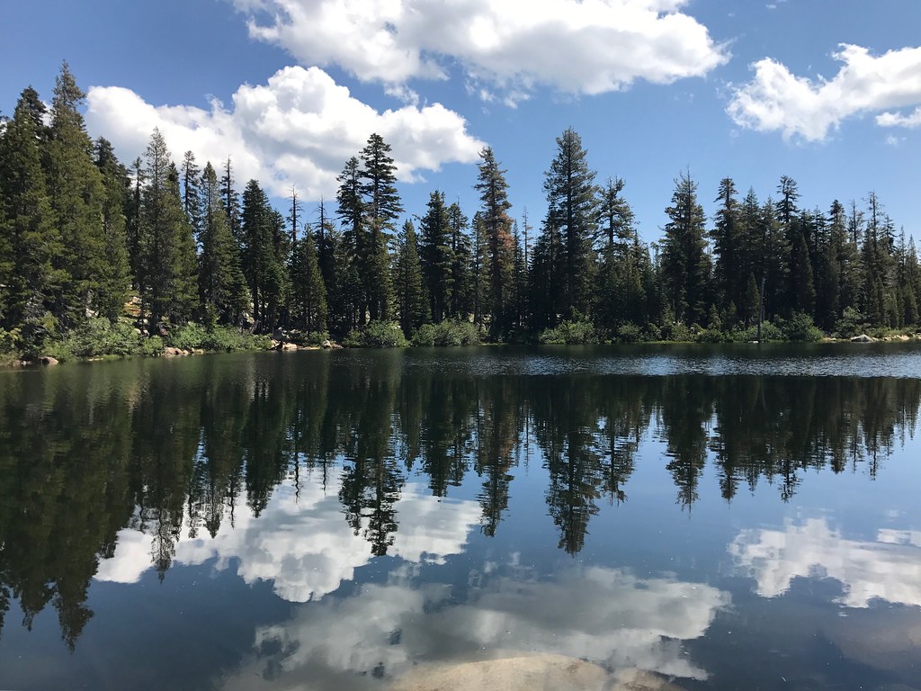 Whiskey Creek TrailHiking · ~3 min drivePhoto: Navin75, CC BY-SA 2.0 (via Flickr)
Also worth it near here
Map and trail data © OpenStreetMap contributors

