Tells Equestrian Cg
Campground
Campground · 4.5 mi from the trail
 Photo: photo by Travis Higdon, Public domain (via Wikimedia Commons)
Alert in the area
The Forest Service lists 2 alerts for Eldorado National Forest.
Help Halt Golden Mussel Invasion
Agency alert covering Eldorado National Forest · USFS · Eldorado National Forest
Deer Valley Trail (19E01) & Meadow Lake Road (09N01)
Agency alert covering Eldorado National Forest · Order 03-24-05 · USFS · Eldorado National Forest
As of · Source: USFS · Eldorado National Forest. Agencies don't list every closure — check before you go.
McConnell Peak is a summit of about 9,103 feet in El Dorado County, California, inside the Desolation Wilderness. The peak lies within the Pacific Ranger District of Eldorado National Forest, which the Forest Service manages, and the nearest town is Tahoma, about 9 miles away. The Highland Trail starts about a mile away, and Lake No. 3 is roughly 2 miles off. Paddlers can reach the Rubicon River about 4 miles away, and the Van Vleck Bunkhouse campground sits just under 5 miles from the peak.
Tells Equestrian Cg
Campground
Baldwin Home
Museum
Places © OpenStreetMap contributors, Places © Overture Maps Foundation
More in Sunnyside-Tahoe CityDaily highs and lows, wind and the chance of precipitation at the summit for the next 7 days, from the Open-Meteo model.
Elevation from USGS 3D Elevation Program terrain data (about 10 m resolution).
We don't know of a mapped trail or route to the summit of McConnell Peak. Plan the approach with local maps, a guidebook or a local guide, and check conditions before you go.
9,103 ft (2,775 m).
We don't know of a mapped trail or route to the summit. Plan the approach with local maps, a guidebook or a local guide.
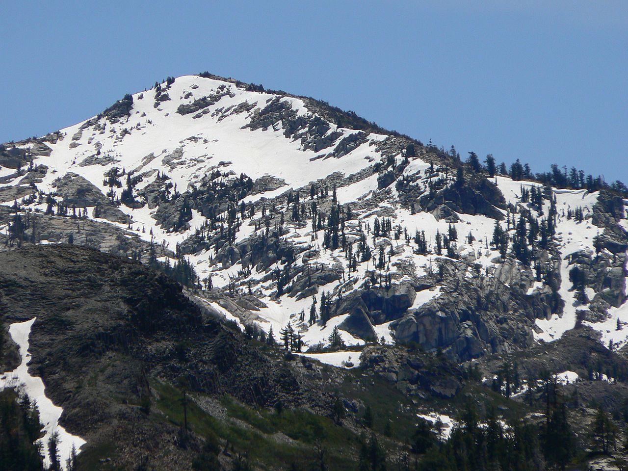

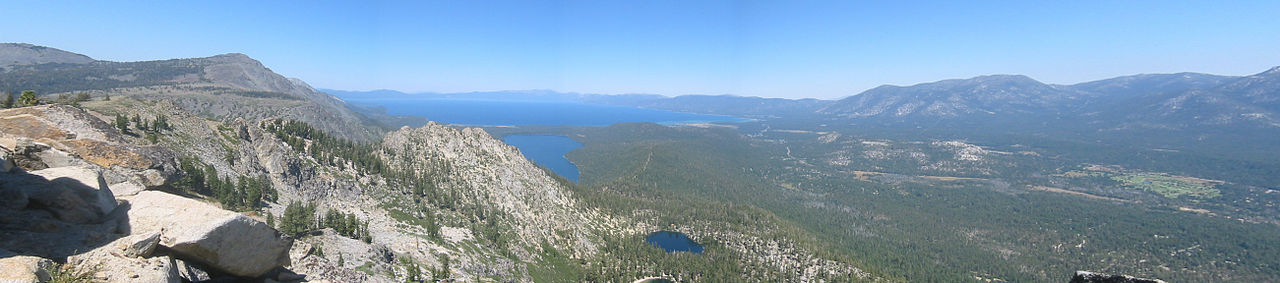
 Lake No. 3HikingPhoto: Kurt Minard, CC BY-SA 3.0 (via Wikimedia Commons)1.8 mi
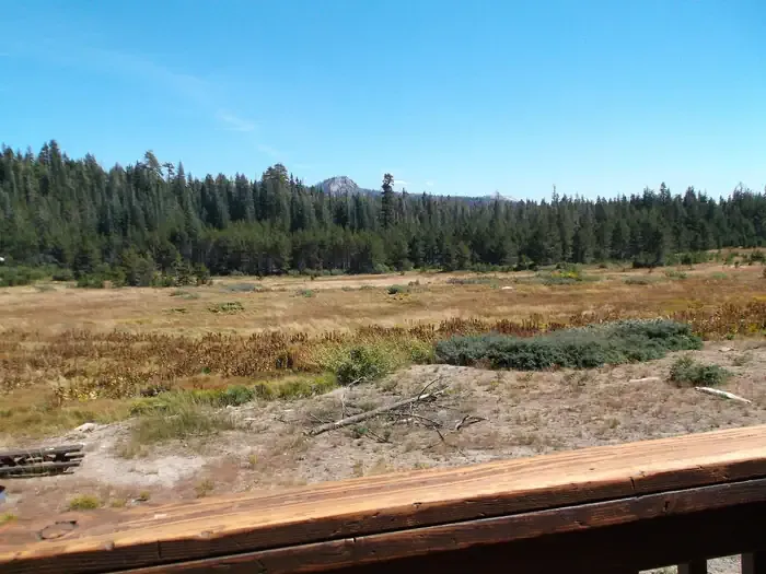 Van Vleck BunkhouseCampingPhoto: Recreation.gov (RIDB) / public domain4.6 mi
Source: Roamze catalog (indexable pages within 10 miles, PostGIS distance)
Tells PeakSummit · ~2 min drivePhoto: Nick Ares from Auburn, CA, United States, CC BY-SA 2.0 (via Wikimedia Commons)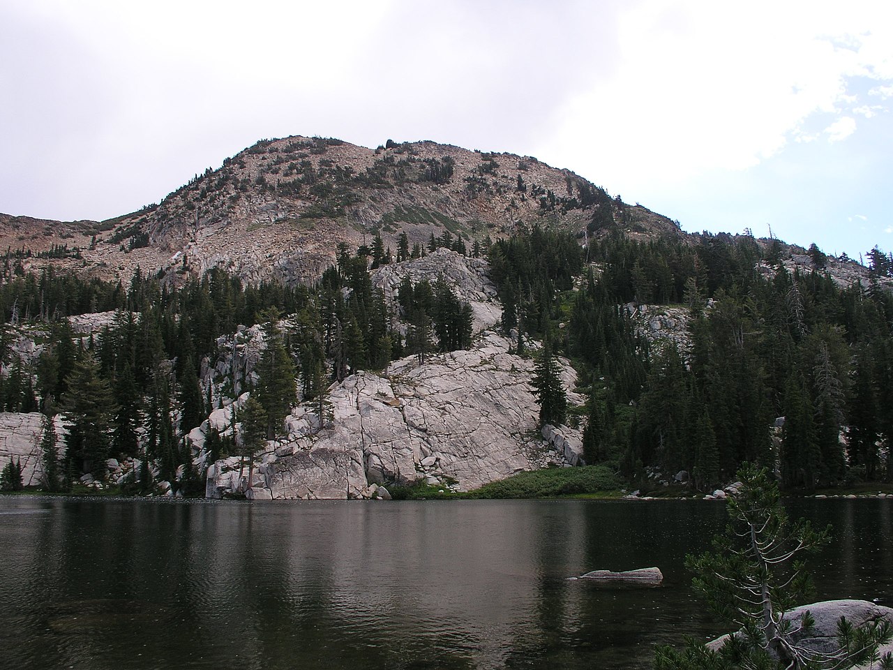 Red PeakSummit · ~3 min drivePhoto: Tim Berger, CC BY 2.0 (via Wikimedia Commons)
 Mount PriceSummit · ~12 min drivePhoto: Jonathan Fox, CC BY-SA 2.0 (via Wikimedia Commons)
 Maggies PeaksSummit · ~12 min drivePhoto: Phreakdigital (talk · contribs), Public domain (via Wikimedia Commons)
 Mount TallacSummit · ~14 min drivePhoto: Rabit 115 at English Wikipedia, Public domain (via Wikimedia Commons)
 Pyramid PeakSummit · ~14 min drivePhoto: Phreakdigital at English Wikipedia, Public domain (via Wikimedia Commons)
 Angora PeakSummit · ~18 min drivePhoto: Brian Sterling, CC BY-SA 2.0 (via Wikimedia Commons)Ralston PeakSummit · ~19 min drivePhoto: Jonathan Fox, CC BY-SA 2.0 (via Wikimedia Commons)Echo PeakSummit · ~19 min drivePhoto: Peter, CC BY-SA 2.0 (via Wikimedia Commons)
 Talking MountainSummit · ~21 min drivePhoto: Peter, CC BY-SA 2.0 (via Wikimedia Commons)

