Stanford Sierra Camp
Campground
Campground · 2.1 mi from the trail
 Photo: Rabit 115 at English Wikipedia, Public domain (via Wikimedia Commons)
Closure in the area
There's a closure order in Lake Tahoe Basin Management Unit. It doesn't name Mount Tallac, so check the source for the area it covers.
Harmful Algal Blooms
Agency closure covering Lake Tahoe Basin Management Unit · USFS · Lake Tahoe Basin Management Unit
Desolation Wilderness Food and Refuse Storage (Bear Canister) Restriction
Agency alert covering Lake Tahoe Basin Management Unit · Order 19-25-06 · USFS · Lake Tahoe Basin Management Unit
Meyers Landfill Area Closure
Agency alert covering Lake Tahoe Basin Management Unit · Order 19-25-01 · USFS · Lake Tahoe Basin Management Unit
Campfire Restrictions
Agency alert covering Lake Tahoe Basin Management Unit · Order 19-24-04 · USFS · Lake Tahoe Basin Management Unit
Camping/Overnight Stay Restriction
Agency alert covering Lake Tahoe Basin Management Unit · Order 19-24-05 · USFS · Lake Tahoe Basin Management Unit
As of · Source: USFS · Lake Tahoe Basin Management Unit. Agencies don't list every closure — check before you go.
Mount Tallac is a summit of about 9,726 feet in El Dorado County, California, inside the Desolation Wilderness. The peak falls within the Lake Tahoe Basin Management Unit, managed by the Forest Service, and sits about 6.5 miles from South Lake Tahoe. The Floating Island / Mount Tallac Trail starts about a mile away, and the Floating Island Trail is close by as well. Climbers can find Cascade Cliff within 2 miles. For an overnight stay, Bayview Campground is roughly 2.7 miles off.
Stanford Sierra Camp
Campground
Beacon Bar & Grill
Restaurant
Baldwin Home
Museum
Places © OpenStreetMap contributors
More in Sunnyside-Tahoe CityDaily highs and lows, wind and the chance of precipitation at the summit for the next 7 days, from the Open-Meteo model.
Elevation from USGS 3D Elevation Program terrain data (about 10 m resolution).
We don't know of a mapped trail or route to the summit of Mount Tallac. Plan the approach with local maps, a guidebook or a local guide, and check conditions before you go.
9,726 ft (2,964 m).
We don't know of a mapped trail or route to the summit. Plan the approach with local maps, a guidebook or a local guide.
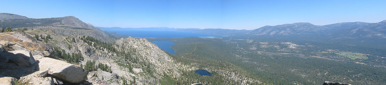

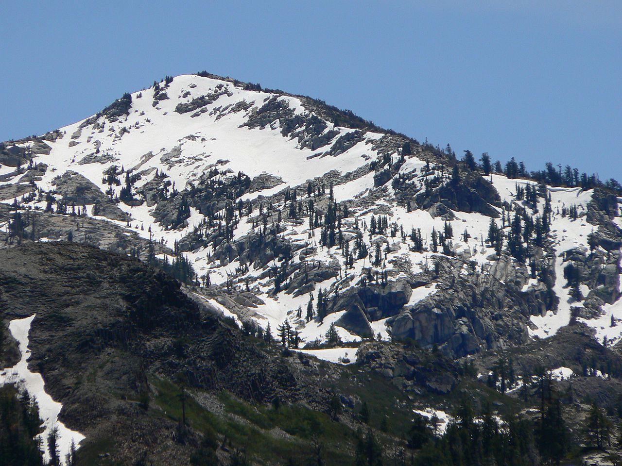

 Floating Island / Mount Tallac TrailHikingPhoto: simonov, CC BY-SA 2.0 (via Flickr)1 mi
 Floating Island TrailHikingPhoto: simonov, CC BY-SA 2.0 (via Flickr)1.1 mi
 Bayview CampgroundCampingPhoto: Rick McCharles — CC BY 2.0 (via Flickr)2.7 mi
 Taylor CreekCanoeingPhoto: Schmiebel, CC BY-SA 3.0 (via Wikimedia Commons)2.8 mi
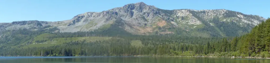 Fallen Leaf CampgroundCampingPhoto: Recreation.gov (RIDB) / public domain3.1 mi
Source: Roamze catalog (indexable pages within 10 miles, PostGIS distance)
 Maggies PeaksSummit · ~3 min drivePhoto: Phreakdigital (talk · contribs), Public domain (via Wikimedia Commons)Echo PeakSummit · ~6 min drivePhoto: Peter, CC BY-SA 2.0 (via Wikimedia Commons)
 Mount PriceSummit · ~9 min drivePhoto: Jonathan Fox, CC BY-SA 2.0 (via Wikimedia Commons)Ralston PeakSummit · ~9 min drivePhoto: Jonathan Fox, CC BY-SA 2.0 (via Wikimedia Commons)
 Pyramid PeakSummit · ~9 min drivePhoto: Phreakdigital at English Wikipedia, Public domain (via Wikimedia Commons)
 McConnell PeakSummit · ~14 min drivePhoto: photo by Travis Higdon, Public domain (via Wikimedia Commons)
 Jobs SisterSummit · ~20 min drivePhoto: Tim Berger, CC BY 2.0 (via Wikimedia Commons)
 Jobs PeakSummit · ~23 min drivePhoto: beth woodrum from Kingman, Arizona, USA, CC BY 2.0 (via Wikimedia Commons)
 Thunder MountainSummit · ~27 min drivePhoto: Justin, CC BY 2.0 (via Wikimedia Commons)
 Deadwood PeakSummit · ~34 min drivePhoto: Tom Hilton, CC BY 2.0 (via Wikimedia Commons)
Also worth it near here
Floating Island / Mount Tallac TrailHiking · ~2 min drivePhoto: simonov, CC BY-SA 2.0 (via Flickr) Cathedral TrailMountain biking · ~3 min drivePhoto: Scorewith German, CC BY 3.0 (via Wikimedia Commons)Bayview CampgroundCamping · ~5 min drivePhoto: Rick McCharles — CC BY 2.0 (via Flickr)
