Browns Peak
At a glance
Browns Peak is a summit in the Four Peaks Wilderness, part of the Tonto Basin Ranger District of Tonto National Forest in Arizona. The nearest town is Tonto Basin, about 11 miles away. Brown's Peak Trail begins about 0.1 mile from the summit and is the most direct trail connection. The Amethyst Mine Trail and Alder Ridge are also close, at 0.3 and 0.8 mile. Other places nearby include the Four Peaks Wilderness climbing area, 3.3 miles away, and the campgrounds at Bermuda Flat Shoreline Area, Cholla Bay and Indian Point, about 7 miles out.
- summit
- 7,649 ft
- way up
- 1
Where it is: Four Peaks Wilderness · Tonto Basin Ranger District
Near: Mesa
Been here? Tell people how it was.
Map © Mapbox © OpenStreetMap contributors - Battleship Mountain2,793 ft · Arizona1 route13 mi away
- Black Top Mesa3,357 ft · Arizona1 route16 mi away
- Lone Mountain2,802 ft · Arizona1 route20 mi away
 Pass Mountain3,302 ft · Arizona1 route21 mi awayPhoto: Z Glyph, CC BY 3.0 (via Wikimedia Commons)
- Lousley Hill2,045 ft · Arizona1 route22 mi away
- Aztec Peak7,736 ft · Arizona1 route26 mi away
- Brown's Peak TrailHiking0.1 mi
- Amethyst Mine TrailHiking0.3 mi
- Alder RidgeHiking0.8 mi
- Four Peaks WildernessRock climbing3.3 mi
- Bermuda Flat Shoreline AreaCamping7.1 mi
- Cholla BayCamping7.4 mi
 Gun GalleryRock climbingPhoto: Chris English, CC BY-SA 3.0 (via Wikimedia Commons)7.5 mi
- Indian Point CampgroundCamping7.6 mi
- Pass MountainSummitPhoto: Z Glyph, CC BY 3.0 (via Wikimedia Commons)~36 min drive
 Thompson PeakSummitPhoto: GreenGibbon, CC BY-SA 3.0 (via Wikimedia Commons)~48 min drive
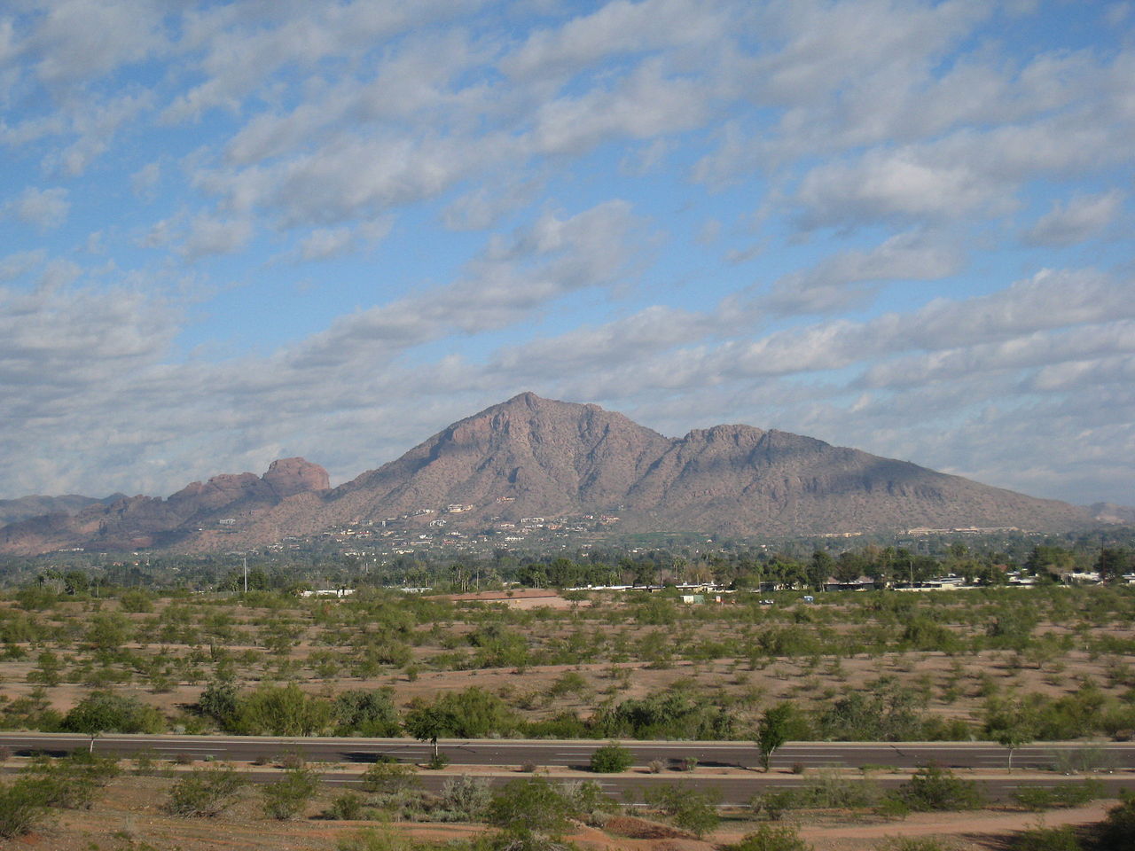 Camelback MountainSummitPhoto: Dru Bloomfield from Scottsdale, Arizona, USA, CC BY 2.0 (via Wikimedia Commons)~1h 6m drive
 Pinal PeakSummitPhoto: Zakhari Volk, CC BY-SA 4.0 (via Wikimedia Commons)~1h 9m drive
 Piestewa PeakSummitPhoto: Ted Eytan, CC BY-SA 2.0 (via Wikimedia Commons)~1h 11m drive
 North MountainSummitPhoto: Aznaturalist, CC BY-SA 3.0 (via Wikimedia Commons)~1h 15m drive
 Poston ButteSummitPhoto: Aznaturalist, CC BY-SA 3.0 (via Wikimedia Commons)~1h 15m drive
 Gavilan PeakSummitPhoto: Phoenix500, CC BY-SA 3.0 (via Wikimedia Commons)~1h 23m drive
 Strawberry MountainSummitPhoto: Cogdog, CC BY-SA 3.0 (via Wikimedia Commons)~1h 24m drive
- Lime MountainSummit~23 min drive
Also worth it near here
Conditions and forecast
Daily highs and lows, wind and the chance of precipitation at the summit and route start for the next 7 days, from the Open-Meteo model.
Questions about Browns Peak
How tall is Browns Peak?
7,649 ft (2,331 m).
How many routes go to the summit of Browns Peak?
One: Brown's Peak Trail.
Where do the routes up Browns Peak start?
Brown's Peak Trail starts at LONE PINE SADDLE TH (about 7,639 ft).

Ask about this place
Questions about Browns Peak: conditions, access, timing. Answers say when something isn't known.
