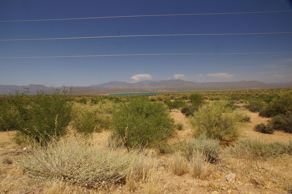
Davis Wash Shoreline Area
Campground
Campground · 4.6 mi from the trail
Alert in the area
The Forest Service lists 5 alerts for Tonto National Forest.
Rattlesnake Cove Developed Recreation Site - Post Flood Recovery and Public Safety Closure
Agency alert covering Tonto National Forest · Order 3-12-01-26-36 · USFS · Tonto National Forest
Canyon Lake Drawdown Public Safety Closure
Agency alert covering Tonto National Forest · Order 03-12-00-26-22 · USFS · Tonto National Forest
No Fire Restrictions
Agency alert covering Tonto National Forest · USFS · Tonto National Forest
Lower Salt River Seasonal Bald Eagle Closures
Agency alert covering Mesa Ranger District · Order 03-12-03-24-65 · USFS · Mesa Ranger District
Roosevelt Lake Seasonal Wildlife Closure
Agency alert covering Tonto National Forest · Order 12-16-5 · USFS · Tonto National Forest
As of · Source: USFS · Tonto National Forest. Agencies don't list every closure — check before you go.
Lime Mountain is a summit of 3,994 feet in the Superstition Wilderness, within the Mesa Ranger District of Tonto National Forest in Arizona. The nearest town is Roosevelt, about 9 miles away. Spring and fall are the most comfortable times to go. Typical averages from a nearby weather station in Roosevelt show March highs around 74°F and November highs near 71°F, while July averages about 104°F. That station sits well below the summit, so temperatures up top run cooler. Several trails start close by. Reavis Falls Trail is under a mile away, Plow Saddle Trail #287 is about 2 miles off, and Reavis Gap Trail #117 is roughly 3 miles away. For an overnight base, Davis Wash Shoreline Area is about 4.6 miles away.
Davis Wash Shoreline Area
Campground
Celia Blaylock aka Mattie Earp Grave Site
Attraction
Places © OpenStreetMap contributors, Places © Overture Maps Foundation
More in SuperiorDaily highs and lows, wind and the chance of precipitation at the summit for the next 7 days, from the Open-Meteo model.
Elevation from USGS 3D Elevation Program terrain data (about 10 m resolution).
We don't know of a mapped trail or route to the summit of Lime Mountain. Plan the approach with local maps, a guidebook or a local guide, and check conditions before you go.
3,994 ft (1,217 m).
We don't know of a mapped trail or route to the summit. Plan the approach with local maps, a guidebook or a local guide.

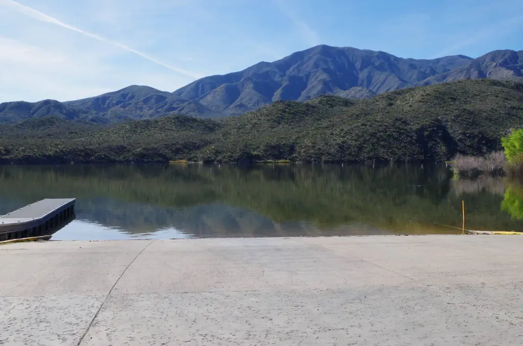 Burnt Corral CampgroundCampingPhoto: Recreation.gov (RIDB) / public domain6.4 mi
Source: Roamze catalog (indexable pages within 10 miles, PostGIS distance)
 Pinal PeakSummit · ~47 min drivePhoto: Zakhari Volk, CC BY-SA 4.0 (via Wikimedia Commons)
 Poston ButteSummit · ~1h 1m drivePhoto: Aznaturalist, CC BY-SA 3.0 (via Wikimedia Commons)
 Thompson PeakSummit · ~1h 4m drivePhoto: GreenGibbon, CC BY-SA 3.0 (via Wikimedia Commons)
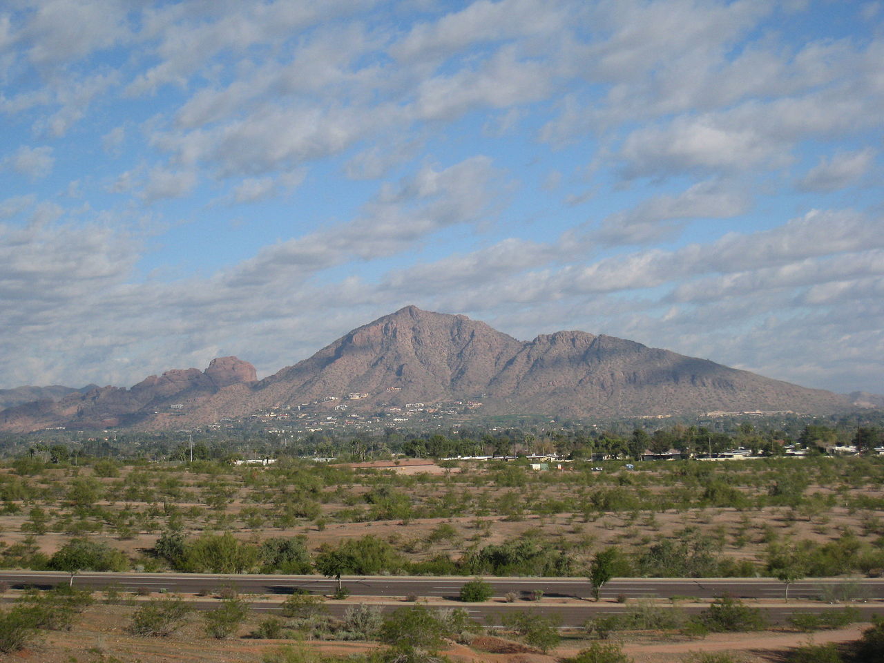 Camelback MountainSummit · ~1h 17m drivePhoto: Dru Bloomfield from Scottsdale, Arizona, USA, CC BY 2.0 (via Wikimedia Commons)
 Piestewa PeakSummit · ~1h 23m drivePhoto: Ted Eytan, CC BY-SA 2.0 (via Wikimedia Commons)Pass MountainSummit · ~42 min drivePhoto: Z Glyph, CC BY 3.0 (via Wikimedia Commons)
Best months: October–April. Best months have typical highs of 55–85 °F, lows of 30 °F or warmer (32 °F where the station doesn't record snow), at most one snowy day and no more than 12 wet days.
Jan
61° / 40°
5 wet
Feb
66° / 42°
5 wet
Mar
74° / 48°
4 wet
Apr
82° / 54°
2 wet
May
91° / 63°
2 wet
Jun
102° / 72°
1 wet
Jul
104° / 78°
4 wet
Aug
102° / 76°
6 wet
Sep
96° / 71°
5 wet
Oct
85° / 59°
3 wet
Nov
71° / 48°
3 wet
Dec
60° / 40°
5 wet
Typical high / low (°F) and days with rain or snow, 1991–2020. Measured at Roosevelt 1 S, AZ, 8.8 mi away at 2,605 ft. The station sits about 1,400 ft lower than this place, so expect it a little cooler here. Source: NOAA NCEI U.S. Climate Normals 1991–2020.