Thompson Peak
 Photo: GreenGibbon, CC BY-SA 3.0 (via Wikimedia Commons)
- 3,983 ft
- summit
- 1
- way up
- County Land
- managed by
- Oct–Apr
- best months
Thompson Peak is a summit of 3,983 feet in the Mcdowell Sonoran Preserve, on county land about 4 miles from Scottsdale, Arizona. Spring and fall are the most comfortable times to go. Typical averages from a nearby weather station at Pinnacle Peak show March highs around 72°F and November highs around 72°F, while July highs average near 99°F. That station sits well below the peak, so temperatures up top run cooler. Several routes start close by. Bell Pass Trail is about 0.7 miles away, and Thompson Peak Trail is about a mile off. The Prospector mountain biking route is also about a mile away. Climbers can head to Glass Dome, roughly 2.5 miles away.
Conditions and forecast
Daily highs and lows, wind and the chance of precipitation at the summit and route start for the next 7 days, from the Open-Meteo model.
- Summit elevation
- 3,983 ft
- Land manager
- County Land
Elevation from USGS 3D Elevation Program terrain data (about 10 m resolution).
Map © Mapbox © OpenStreetMap contributors Questions about Thompson Peak
How tall is Thompson Peak?
3,983 ft (1,214 m).
How many routes go to the summit of Thompson Peak?
One: Thompson Peak Trail.
- Lousley Hill2,045 ft · Arizona1 route7.6 mi away
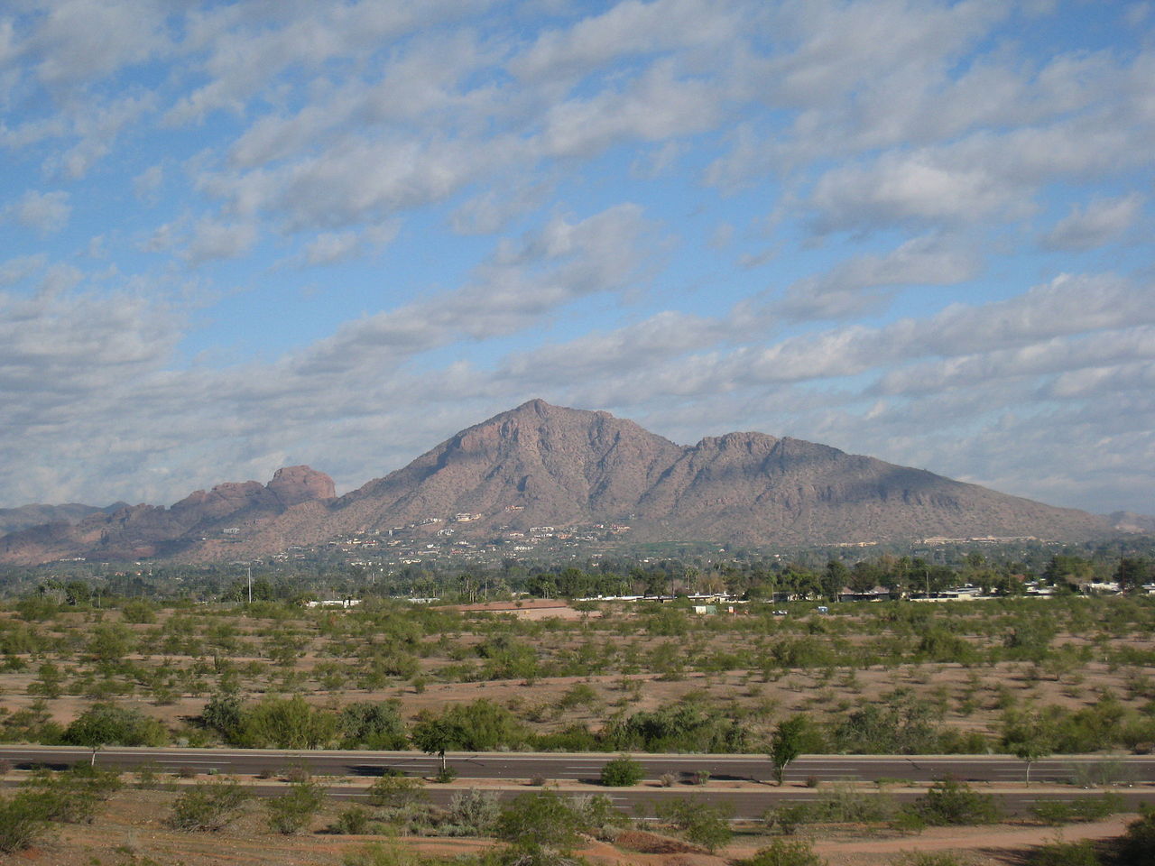 Camelback Mountain2,702 ft · Arizona2 routes12 mi awayPhoto: Dru Bloomfield from Scottsdale, Arizona, USA, CC BY 2.0 (via Wikimedia Commons)
 Piestewa Peak2,596 ft · Arizona1 route14 mi awayPhoto: Ted Eytan, CC BY-SA 2.0 (via Wikimedia Commons)
- Black Mountain3,395 ft · Arizona1 route14 mi away
- Lone Mountain2,802 ft · Arizona1 route15 mi away
 North Mountain2,099 ft · Arizona1 route16 mi awayPhoto: Aznaturalist, CC BY-SA 3.0 (via Wikimedia Commons)
- Bell Pass TrailHiking0.7 mi
- ProspectorMountain biking1 mi
- Thompson Peak TrailHiking1 mi
- Dixie Mine TrailHiking1.6 mi
- Glass DomeRock climbing2.5 mi
- Upper WallRock climbing2.5 mi
- Crossroads Wall (AKA Parking Lot Wall)Rock climbing2.5 mi
- Hog HeavenRock climbing2.5 mi
Source: Roamze catalog (indexable pages within 10 miles, PostGIS distance)
- Camelback MountainSummit · ~21 min drivePhoto: Dru Bloomfield from Scottsdale, Arizona, USA, CC BY 2.0 (via Wikimedia Commons)
- Piestewa PeakSummit · ~24 min drivePhoto: Ted Eytan, CC BY-SA 2.0 (via Wikimedia Commons)
- North MountainSummit · ~27 min drivePhoto: Aznaturalist, CC BY-SA 3.0 (via Wikimedia Commons)
 Gavilan PeakSummit · ~44 min drivePhoto: Phoenix500, CC BY-SA 3.0 (via Wikimedia Commons)
 Poston ButteSummit · ~1h 20m drivePhoto: Aznaturalist, CC BY-SA 3.0 (via Wikimedia Commons)
 Pass MountainSummit · ~28 min drivePhoto: Z Glyph, CC BY 3.0 (via Wikimedia Commons)
- Pinnacle PeakSummit · ~11 min drive
- Lousley HillSummit · ~13 min drive
- The Praying MonkSummit · ~22 min drive
- Black MountainSummit · ~24 min drive
Best time to visit Thompson Peak
Best months: October–April. Best months have typical highs of 55–85 °F, lows of 30 °F or warmer (32 °F where the station doesn't record snow), at most one snowy day and no more than 12 wet days.
Jan
64° / 43°
Feb
66° / 45°
Mar
72° / 49°
Apr
79° / 54°
May
87° / 62°
Jun
96° / 71°
Jul
99° / 76°
Aug
98° / 75°
Sep
94° / 71°
Oct
83° / 61°
Nov
72° / 50°
Dec
63° / 42°
Typical high / low (°F) and days with rain or snow, 1991–2020. Measured at Pinnacle Peak, AZ, 6.4 mi away at 2,565 ft. The station sits about 1,400 ft lower than this place, so expect it a little cooler here. This station doesn't record snowfall. Source: NOAA NCEI U.S. Climate Normals 1991–2020.


