Strawberry Mountain
 Photo: Cogdog, CC BY-SA 3.0 (via Wikimedia Commons)
- 6,809 ft
- summit
- Forest Service
- managed by
- May–Oct
- best months
Is Strawberry Mountain open right now?
Closure in the area
There's a closure order in Payson Ranger District. It doesn't name Strawberry Mountain, so check the source for the area it covers.
State Route 260 Lion Springs Construction Site Public Health and Safety Closure Order
Agency closure covering Payson Ranger District · Order 03-12-04-26-25 · USFS · Payson Ranger District
Rattlesnake Cove Developed Recreation Site - Post Flood Recovery and Public Safety Closure
Agency alert covering Tonto National Forest · Order 3-12-01-26-36 · USFS · Tonto National Forest
Emergency Closure of Water Wheel Recreation Sites for Public Safety
Agency alert covering Payson Ranger District · Order 03-12-04-26-34 · USFS · Payson Ranger District
Canyon Lake Drawdown Public Safety Closure
Agency alert covering Tonto National Forest · Order 03-12-00-26-22 · USFS · Tonto National Forest
No Fire Restrictions
Agency alert covering Tonto National Forest · USFS · Tonto National Forest
As of · Source: USFS · Payson Ranger District. Agencies don't list every closure — check before you go.
Strawberry Mountain is a summit of 6,809 feet in the Payson Ranger District of Tonto National Forest in Arizona, about a mile from the town of Strawberry. The Forest Service manages the land. Late spring and early fall are the most comfortable times to go. Typical averages from a nearby weather station at a similar elevation show May highs around 70°F and September highs around 76°F, with lows in the mid-40s. Winter is cold, with January highs near 45°F and lows around 17°F. Several hikes start close by, including Pine, Mohawk and Walnut, each under a mile away. Sharp Creek Group campground is about 2.6 miles off, and the East Verde River offers paddling roughly 7.5 miles away.
Conditions and forecast
Daily highs and lows, wind and the chance of precipitation at the summit for the next 7 days, from the Open-Meteo model.
- Summit elevation
- 6,809 ft
- Land manager
- Forest Service
Elevation from USGS 3D Elevation Program terrain data (about 10 m resolution).
We don't know of a mapped trail or route to the summit of Strawberry Mountain. Plan the approach with local maps, a guidebook or a local guide, and check conditions before you go.
Questions about Strawberry Mountain
How tall is Strawberry Mountain?
6,809 ft (2,075 m).
Is there a trail to the top of Strawberry Mountain?
We don't know of a mapped trail or route to the summit. Plan the approach with local maps, a guidebook or a local guide.
 PineHikingPhoto: cogdogblog, CC BY 2.0 (via Flickr)0.8 mi
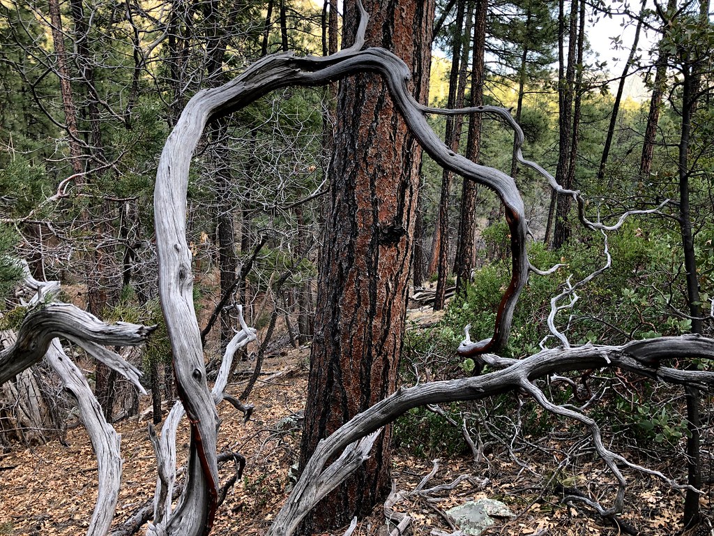 MohawkHikingPhoto: cogdogblog, Public Domain Dedication (CC0) (via Flickr)0.8 mi
- WalnutHiking0.9 mi
- Main Wall - SouthRock climbing2.6 mi
- Main Wall - NorthRock climbing2.6 mi
- Sharp Creek GroupCamping2.6 mi
 East Verde RiverCanoeingPhoto: Richard N Horne, CC BY-SA 4.0 (via Wikimedia Commons)7.5 mi
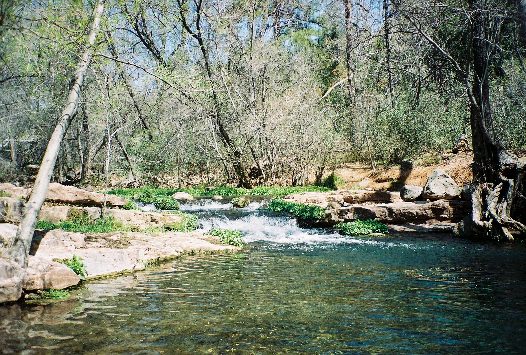 Fossil CreekCanoeingPhoto: Gonzo fan2007, CC BY-SA 3.0 (via Wikimedia Commons)7.6 mi
Source: Roamze catalog (indexable pages within 10 miles, PostGIS distance)
 Bell RockSummit · ~56 min drivePhoto: Josep Renalias, CC BY-SA 3.0 (via Wikimedia Commons)
 Capitol ButteSummit · ~1h 7m drivePhoto: Eric Johnson, CC BY-SA 3.0 (via Wikimedia Commons)
 Wilson MountainSummit · ~1h 8m drivePhoto: Deborah Lee Soltesz, CC0 (via Wikimedia Commons)
 Mingus MountainSummit · ~1h 12m drivePhoto: Benjamin Cody, CC BY-SA 3.0 (via Wikimedia Commons)
 Gavilan PeakSummit · ~1h 24m drivePhoto: Phoenix500, CC BY-SA 3.0 (via Wikimedia Commons)
 Courthouse ButteSummit · ~56 min drivePhoto: Jstuby at en.wikipedia, Public domain (via Wikimedia Commons)
 Schnebly HillSummit · ~1h 2m drivePhoto: Clyde Charles Brown, CC BY-SA 4.0 (via Wikimedia Commons)
- Little MesaSummit · ~31 min drive
- Pine MountainSummit · ~31 min drive
- Barnhardt MesaSummit · ~35 min drive
Also worth it near here
- MohawkHiking · ~1 min drivePhoto: cogdogblog, Public Domain Dedication (CC0) (via Flickr)
- Sharp Creek GroupCamping · ~4 min drive
 Good EnoughMountain biking · ~5 min drivePhoto: Coconino National Forest, CC BY-SA 2.0 (via Wikimedia Commons)
 Tonto Natural BridgeNatural arch · ~8 min drivePhoto: Rednelson, CC BY-SA 3.0 (via Wikimedia Commons)
Best time to visit Strawberry Mountain
Best months: May–October. Best months have typical highs of 55–85 °F, lows of 30 °F or warmer (32 °F where the station doesn't record snow), at most one snowy day and no more than 12 wet days.
Jan
45° / 17°
Feb
49° / 20°
Mar
55° / 25°
Apr
61° / 30°
May
70° / 38°
Jun
80° / 47°
Jul
83° / 55°
Aug
81° / 53°
Sep
76° / 46°
Oct
67° / 34°
Nov
55° / 24°
Dec
45° / 17°
Typical high / low (°F) and days with rain or snow, 1991–2020. Measured at Blue Ridge Rs, AZ, 23.1 mi away at 6,880 ft. This station doesn't record snowfall. Source: NOAA NCEI U.S. Climate Normals 1991–2020.
