Aztec Peak
- 7,736 ft
- summit
- 1
- way up
Is Aztec Peak open right now?
Alert in the area
The Forest Service lists 4 alerts for Tonto National Forest.
Rattlesnake Cove Developed Recreation Site - Post Flood Recovery and Public Safety Closure
Agency alert covering Tonto National Forest · Order 3-12-01-26-36 · USFS · Tonto National Forest
Canyon Lake Drawdown Public Safety Closure
Agency alert covering Tonto National Forest · Order 03-12-00-26-22 · USFS · Tonto National Forest
No Fire Restrictions
Agency alert covering Tonto National Forest · USFS · Tonto National Forest
Roosevelt Lake Seasonal Wildlife Closure
Agency alert covering Tonto National Forest · Order 12-16-5 · USFS · Tonto National Forest
As of · Source: USFS · Tonto National Forest. Agencies don't list every closure — check before you go.
Aztec Peak is a summit in the Pleasant Valley Ranger District of Tonto National Forest in Arizona, about 13 miles from the town of Rock House. Several trails start close by. Abbeys Way, Murphy and the Rim trail all lie about a mile away, and the Reynolds Creek trail is roughly 1.6 miles off. About 1.4 miles away, Workman Falls offers rock climbing.
Conditions and forecast
Daily highs and lows, wind and the chance of precipitation at the summit and route start for the next 7 days, from the Open-Meteo model.
- Summit elevation
- 7,736 ft
Elevation from USGS 3D Elevation Program terrain data (about 10 m resolution).
Map © Mapbox © OpenStreetMap contributors Questions about Aztec Peak
How tall is Aztec Peak?
7,736 ft (2,358 m).
How many routes go to the summit of Aztec Peak?
One: Abbeys Way.
When is the best time to climb Aztec Peak?
Year-round.
- McFadden Horse Mountain7,518 ft · Arizona1 route5.1 mi away
- Browns Peak7,649 ft · Arizona1 route26 mi away
- Battleship Mountain2,793 ft · Arizona1 route36 mi away
- Black Top Mesa3,357 ft · Arizona1 route37 mi away
 Pinal Peak7,847 ft · Arizona2 routes37 mi awayPhoto: Zakhari Volk, CC BY-SA 4.0 (via Wikimedia Commons)
- Picketpost Mountain4,374 ft · Arizona1 route41 mi away
- Abbeys WayHiking1 mi
- MurphyHiking1 mi
- RimHiking1 mi
- Workman FallsRock climbing1.4 mi
- Reynolds CreekHiking1.6 mi
- IceboxRock climbing5.1 mi
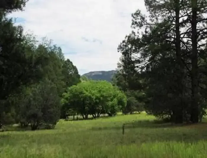 Reynolds Creek Group CampgroundCampingPhoto: Recreation.gov (RIDB) / public domain5.8 mi
- Salome CreekCanoeing9.7 mi
Source: Roamze catalog (indexable pages within 10 miles, PostGIS distance)
- Pinal PeakSummit · ~1h 3m drivePhoto: Zakhari Volk, CC BY-SA 4.0 (via Wikimedia Commons)
 Pass MountainSummit · ~1h 18m drivePhoto: Z Glyph, CC BY 3.0 (via Wikimedia Commons)
- Lime MountainSummit · ~42 min drive
- Browns PeakSummit · ~44 min drive
- Barnhardt MesaSummit · ~1h 1m drive
- Battleship MountainSummit · ~1h 1m drive
- Black Top MesaSummit · ~1h 3m drive
- Superstition PeakSummit · ~1h 8m drive
- The FlatironSummit · ~1h 10m drive
- Lone MountainSummit · ~1h 18m drive
