

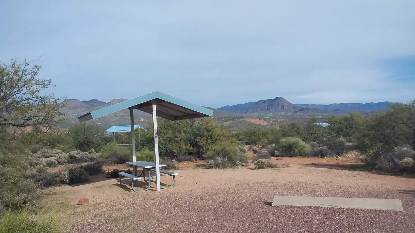
VIP RV Resort
Hiking business nearby (~23 mi away) — hasn't claimed their Roamze page yet
Free — you'll pick up right here.
Watch this trail
Sign up to watch it — saving subscribes you to gate, closure and report changes.
Arizona
4.9 mi
Distance
2,257 ft
Gain
1h 44m
Time
An agency closure order is in effect for this area; weather is good
2 factors · 2 sources
Newest 10 h ago · oldest 25 d
problem: Agency alerts
10 active alerts in Tonto National Forest; most severe: Canyon Lake Drawdown Public Safety Closure
USFS25 d ago
clear: Weather
Clear, high 70°F / low 70°F, 0% precip — 100/100 for hike
OpenWeather10 h ago
Been out here in the last few days? One report keeps this current for everyone.
Why you'll love it
Brown's Peak Trail
AI-suggested draft · review before you go
No permit or access details on file for this trail — check with the local land manager before you go.
Brown's Peak Trail is a 4.9-mile out-and-back trail located in Arizona. This route offers a straightforward hiking experience without significant elevation changes, making it accessible for hikers of varying fitness levels. The trail's flat profile means you can focus on enjoying the surrounding landscape rather than managing steep climbs or descents. With nearly 5 miles of total distance, plan for a moderate time commitment depending on your pace and how long you spend exploring along the way. As an out-and-back route, you'll retrace the same path on your return, allowing you to notice different details or enjoy favorite sections again from a new perspective. The Arizona setting provides desert or semi-arid scenery typical of the region. Before heading out, check current conditions and bring plenty of water, as Arizona trails can be exposed to sun and heat. This trail works well for a half-day outing or as part of a broader hiking itinerary in the area.
Alder Ridge
~1 min drive
1.2 mi · Easy
Alder
~2 min drive
21 mi · Hard
Browns
~3 min drive
3.6 mi · Moderate
Arizona Trail
~3 min drive
An 18.57-mile out-and-back trail in Arizona that connects to Passage 42, offering flexible hiking options for various experience levels.
Lower Soldier
~14 min drive
4.6 mi · Easy
Soldier
~3 min drive
13 mi · Hard
Chillicut
~3 min drive
5.6 mi · Moderate
Pigeon Spring Road
~4 min drive
A brief 0.85-mile out-and-back gravel trail in Arizona that links to the Arizona Trail system.
Cottonwood
~20 min drive
2.5 mi · Easy
Four Peaks Trail #130
~7 min drive
25 mi · Hard
Local operatorsoffering guided trips. You book directly with them — Roamze doesn’t take a cut.
VIP RV Resort
Hiking business nearby (~23 mi away) — hasn't claimed their Roamze page yet
Arizona Desert Mountain Jeep Tours
Hiking business nearby (~24 mi away) — hasn't claimed their Roamze page yet