Browns
 Photo: Chris English, CC BY-SA 3.0 (via Wikimedia Commons)
- 3.6 mi
- round trip
- 1,139 ft
- climb
- 6,858 ft
- high point
- Out and back
- route
Is Browns open right now?
Closure in the area
There's a closure order in Mesa Ranger District. It doesn't name Browns, so check the source for the area it covers.
Four Peaks Public Safety Closure Order
Agency closure covering Mesa Ranger District · Order 03-12-03-26-28 · USFS · Mesa Ranger District
Temporary Public Health and Safety Closure Granite Reef Recreation Site Area Closure
Agency alert covering Mesa Ranger District · Order 03-12-03-26-33 · USFS · Mesa Ranger District
Canyon Lake Drawdown Public Safety Closure
Agency alert covering Tonto National Forest · Order 03-12-00-26-22 · USFS · Tonto National Forest
No Fire Restrictions
Agency alert covering Tonto National Forest · USFS · Tonto National Forest
Lower Salt River Seasonal Bald Eagle Closures
Agency alert covering Mesa Ranger District · Order 03-12-03-24-65 · USFS · Mesa Ranger District
As of · Source: USFS · Mesa Ranger District. Agencies don't list every closure — check before you go.
Browns is a moderate out-and-back hike in Arizona's Tonto National Forest, within the Mesa Ranger District. The trail is about 3.6 miles long, with a one-way elevation gain of 1,139 feet, taking you from a low point of about 5,685 feet to a high of about 6,858 feet. The Forest Service manages the land, and the trailhead is at Lone Pine Saddle, which is open year-round. The Arizona Trail passes about 0.4 miles away, and the Amethyst Trail is about 0.8 miles off. Pigeon Spring Road is about 1.1 miles away. For climbing, the Four Peaks Wilderness lies about 1.9 miles from the trail.
Local outfitters
- Arizona Desert Mountain Jeep Tours23 mi away
- VIP RV Resort24 mi away
Not on Roamze yet. Their page has how to reach them.
Keep exploring — more trails worth the drive
Photo: Chris English, CC BY-SA 3.0 (via Wikimedia Commons)Arizona Trail
Next door
An 18.57-mile out-and-back trail in Arizona that connects to Passage 42, offering flexible hiking options for various experience levels.
Photo: Chris English, CC BY-SA 3.0 (via Wikimedia Commons)Pigeon Spring Road
~2 min drive
A brief 0.85-mile out-and-back gravel trail in Arizona that links to the Arizona Trail system.
 Photo: cogdogblog, CC BY 2.0 (via Flickr)
Ballantine
~16 min drive
19.94-mile out-and-back trail in Arizona with 2,762 ft elevation gain.
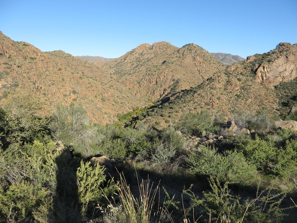 Photo: Ken Lund, CC BY-SA 2.0 (via Flickr)
Diamond
~22 min drive
Diamond is a 4.22-mile out-and-back trail in Arizona with 749 ft of elevation gain.
 Photo: This illustration was made by Peter Potrowl.
Please credit this with : © Peter Potrowl in the immediate vicinity of the image. A link to my website sitemai.eu would be much appreciated but isn't mandatory.
An email to
Peter Potrowl would be appreciated too.
Do not copy this image illegally by ignoring the terms of the license below, as it is not in the public domain.
If you would like special permission to use, license, or purchase the image please contact me Peter Potrowl to negotiate terms.
More free pictures in my website. Donations are accepted here and here., CC BY-SA 3.0 (via Wikimedia Commons)
Arizona Trail
~19 min drive
A 9.03-mile out-and-back trail in Arizona that connects to Passage 42 of the Arizona Trail system.
 Photo: Chris English, CC BY-SA 3.0 (via Wikimedia Commons)
Four Peaks-El Oso
~3 min drive
1.02-mile out-and-back trail in Arizona with 245 ft elevation gain.
HIKE
Soldier
~3 min drive
13.22-mile out-and-back trail in Arizona with 724 ft gain.
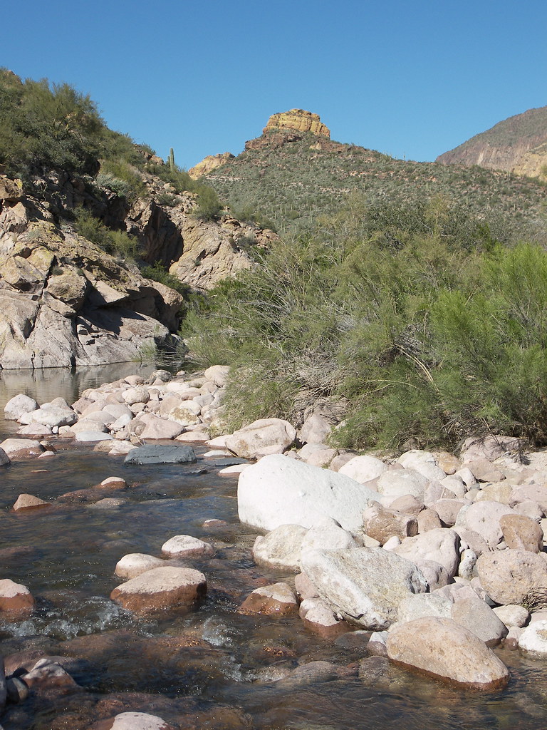 Photo: deborah.soltesz, Public Domain Dedication (CC0) (via Flickr)
Battleship Mountain scramble
~26 min drive
2.14-mile out-and-back scramble with 1,157 ft gain at Battleship Mountain in Arizona
HIKE
Arizona Trail
~14 min drive
A 59.49-mile out-and-back trail in Arizona that connects to Passage 42 and the broader trail system.
 Photo: squeaks2569, CC BY-SA 2.0 (via Flickr)
Cottonwood
~22 min drive
2.54-mile out-and-back trail in Arizona with 197 ft elevation gain.

